[Surveys near Quihi Creek]
Atlas G, Page 2, Sketch 19 (G-2-19)
G-2-19
-
Map/Doc
312
-
Collection
General Map Collection
-
Object Dates
1846 (Creation Date)
-
People and Organizations
John James (Surveyor/Engineer)
-
Counties
Medina
-
Subjects
Atlas
-
Height x Width
11.0 x 8.0 inches
27.9 x 20.3 cm
-
Medium
paper, manuscript
-
Comments
Conserved in 2004.
-
Features
Quehe Creek
Rio Medina
Part of: General Map Collection
Leon County Working Sketch 7


Print $20.00
- Digital $50.00
Leon County Working Sketch 7
1913
Size 13.7 x 16.7 inches
Map/Doc 70406
Refugio County Sketch File 19


Print $20.00
- Digital $50.00
Refugio County Sketch File 19
1916
Size 35.0 x 16.1 inches
Map/Doc 12247
Hutchinson County Sketch File 35


Print $6.00
- Digital $50.00
Hutchinson County Sketch File 35
1935
Size 11.2 x 8.9 inches
Map/Doc 27267
Flight Mission No. DQN-2K, Frame 6, Calhoun County


Print $20.00
- Digital $50.00
Flight Mission No. DQN-2K, Frame 6, Calhoun County
1953
Size 18.4 x 22.2 inches
Map/Doc 84223
Hardin County Sketch File 55


Print $40.00
- Digital $50.00
Hardin County Sketch File 55
1924
Size 14.2 x 13.3 inches
Map/Doc 25220
Irion County Boundary File 3


Print $38.00
- Digital $50.00
Irion County Boundary File 3
Size 8.8 x 4.2 inches
Map/Doc 55339
Flight Mission No. BRA-7M, Frame 123, Jefferson County


Print $20.00
- Digital $50.00
Flight Mission No. BRA-7M, Frame 123, Jefferson County
1953
Size 18.7 x 22.3 inches
Map/Doc 85517
Brewster County Sketch File S-28

Print $40.00
- Digital $50.00
Brewster County Sketch File S-28
Size 26.1 x 36.7 inches
Map/Doc 10982
Orange County Aerial Photograph Index Sheet 1


Print $20.00
- Digital $50.00
Orange County Aerial Photograph Index Sheet 1
1957
Size 24.1 x 20.4 inches
Map/Doc 83740
Flight Mission No. BRA-16M, Frame 84, Jefferson County

Print $20.00
- Digital $50.00
Flight Mission No. BRA-16M, Frame 84, Jefferson County
1953
Size 18.6 x 22.1 inches
Map/Doc 85696
You may also like
General Highway Map, Live Oak County, Texas
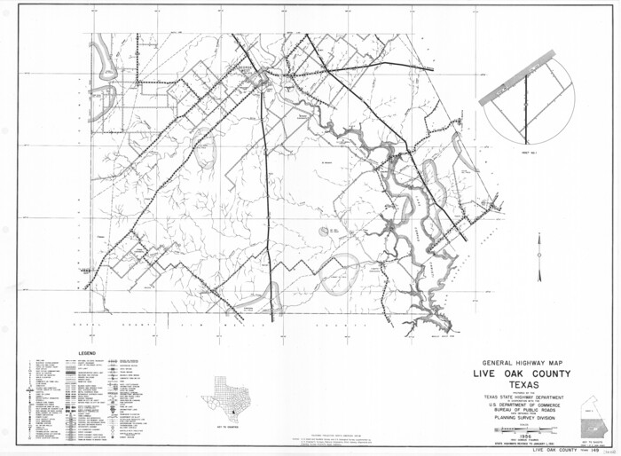

Print $20.00
General Highway Map, Live Oak County, Texas
1961
Size 18.2 x 24.8 inches
Map/Doc 79574
Mitchell County Sketch File 18
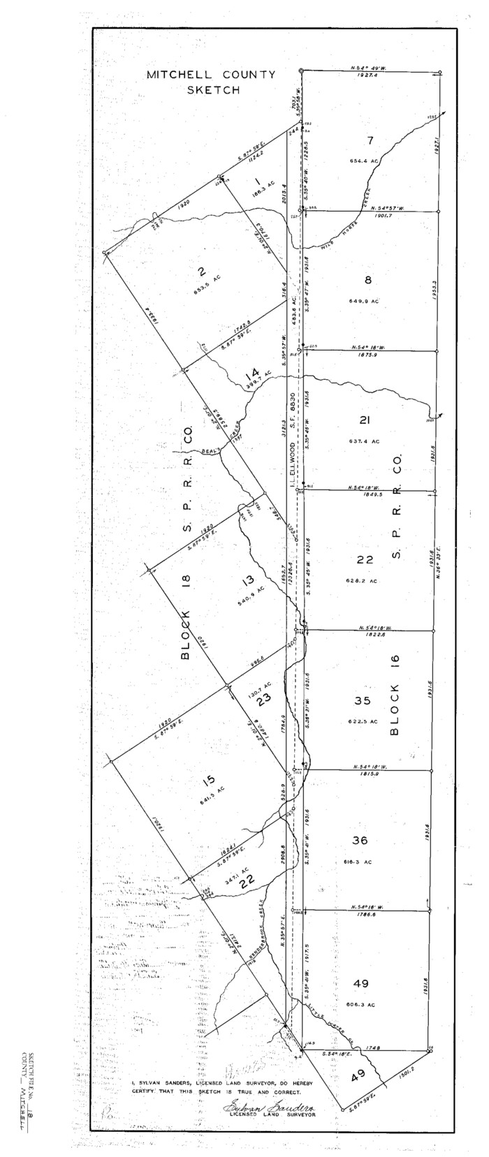

Print $20.00
- Digital $50.00
Mitchell County Sketch File 18
Size 32.1 x 13.6 inches
Map/Doc 12103
Presidio County Boundary File 1a


Print $80.00
- Digital $50.00
Presidio County Boundary File 1a
Size 50.2 x 14.9 inches
Map/Doc 58052
El Paso County Working Sketch 39


Print $20.00
- Digital $50.00
El Paso County Working Sketch 39
1984
Size 45.7 x 37.1 inches
Map/Doc 69061
Flight Mission No. DIX-10P, Frame 146, Aransas County
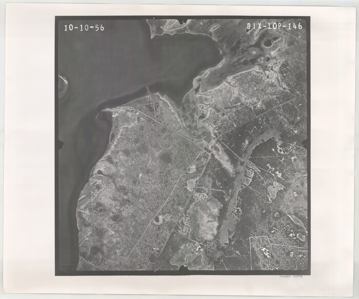

Print $20.00
- Digital $50.00
Flight Mission No. DIX-10P, Frame 146, Aransas County
1956
Size 18.6 x 22.4 inches
Map/Doc 83948
Brewster County Working Sketch 100
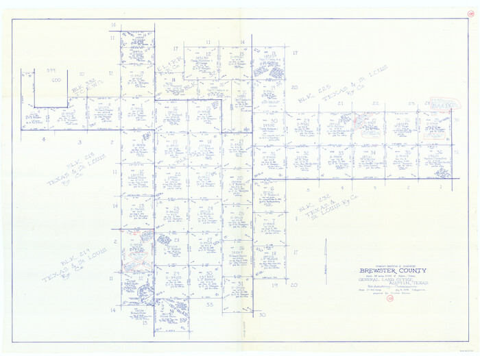

Print $40.00
- Digital $50.00
Brewster County Working Sketch 100
1979
Size 41.0 x 55.2 inches
Map/Doc 67700
FT. W. & R. G. Ry. Right of Way Map, Winchell to Brady, McCulloch County, Texas


Print $20.00
- Digital $50.00
FT. W. & R. G. Ry. Right of Way Map, Winchell to Brady, McCulloch County, Texas
1918
Size 36.9 x 32.0 inches
Map/Doc 61416
Edwards County Boundary File 28


Print $50.00
- Digital $50.00
Edwards County Boundary File 28
Size 12.9 x 5.2 inches
Map/Doc 52932
A Comprehensive Atlas Geographical, Historical & Commercial


A Comprehensive Atlas Geographical, Historical & Commercial
Size 13.0 x 10.7 inches
Map/Doc 95959
Liberty County Working Sketch 15

Print $20.00
- Digital $50.00
Liberty County Working Sketch 15
1922
Size 19.0 x 15.0 inches
Map/Doc 70474
Real County Working Sketch 45

Print $20.00
- Digital $50.00
Real County Working Sketch 45
1955
Size 23.1 x 18.5 inches
Map/Doc 71937
![312, [Surveys near Quihi Creek], General Map Collection](https://historictexasmaps.com/wmedia_w1800h1800/maps/312.tif.jpg)
