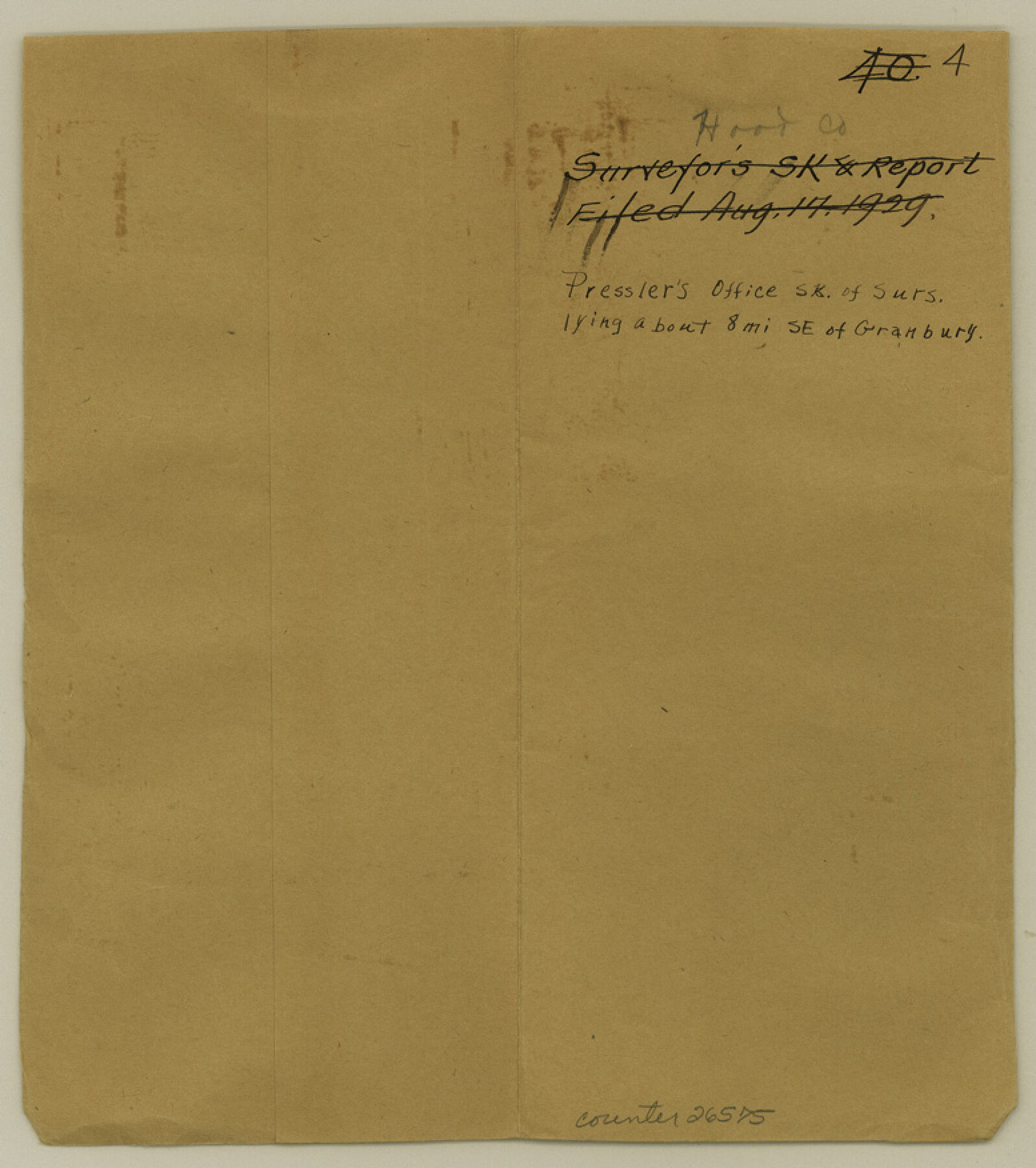
Hood County Sketch File 4
[Office sketch of surveys lying southeast of Granbury]
-
Map/Doc
26575
-
Collection
General Map Collection
-
People and Organizations
Pressler (Surveyor/Engineer)
-
Counties
Hood
-
Subjects
Surveying Sketch File
-
Height x Width
8.8 x 7.8 inches
22.4 x 19.8 cm
-
Medium
paper, manuscript
Part of: General Map Collection
Duval County Working Sketch 19

Print $20.00
- Digital $50.00
Duval County Working Sketch 19
1940
Size 21.7 x 18.5 inches
Map/Doc 68732
Kimble County Working Sketch 23

Print $20.00
- Digital $50.00
Kimble County Working Sketch 23
1930
Size 21.6 x 18.2 inches
Map/Doc 70091

Montgomery County Sketch File 16

Print $26.00
- Digital $50.00
Montgomery County Sketch File 16
1896
Size 14.2 x 8.8 inches
Map/Doc 31819
Zavala County Sketch File 35

Print $4.00
- Digital $50.00
Zavala County Sketch File 35
1887
Size 11.3 x 9.0 inches
Map/Doc 41397
Hays County Rolled Sketch 20A

Print $20.00
- Digital $50.00
Hays County Rolled Sketch 20A
Size 20.7 x 23.9 inches
Map/Doc 6177
Robertson County Sketch File 9

Print $68.00
Robertson County Sketch File 9
1846
Size 10.2 x 8.3 inches
Map/Doc 35366
Austin Map and Street Guide [Verso]
![94163, Austin Map and Street Guide [Verso], General Map Collection](https://historictexasmaps.com/wmedia_w700/maps/94163.tif.jpg)
Austin Map and Street Guide [Verso]
1986
Size 35.5 x 22.8 inches
Map/Doc 94163
Brewster County Sketch File S-26a

Print $18.00
- Digital $50.00
Brewster County Sketch File S-26a
1964
Size 11.1 x 8.7 inches
Map/Doc 15837
Hays County Working Sketch 13

Print $20.00
- Digital $50.00
Hays County Working Sketch 13
1952
Size 24.2 x 35.0 inches
Map/Doc 66087
Glasscock County Working Sketch 7

Print $20.00
- Digital $50.00
Glasscock County Working Sketch 7
1952
Size 36.8 x 31.9 inches
Map/Doc 63180
Houston Ship Channel
Print $20.00
- Digital $50.00
Houston Ship Channel
1926
Size 32.9 x 38.3 inches
Map/Doc 69893
You may also like
Sketch of Survey 3, Block 1 in Dickens and King Counties

Print $20.00
- Digital $50.00
Sketch of Survey 3, Block 1 in Dickens and King Counties
1914
Size 10.8 x 28.2 inches
Map/Doc 10766
Coast Chart No. 202 - Calcasieu Pass to Sabine Light, Louisiana

Print $20.00
- Digital $50.00
Coast Chart No. 202 - Calcasieu Pass to Sabine Light, Louisiana
1905
Size 40.7 x 34.4 inches
Map/Doc 69803
Hemphill County Working Sketch 28

Print $40.00
- Digital $50.00
Hemphill County Working Sketch 28
1974
Size 61.8 x 43.5 inches
Map/Doc 66123
Wichita County Sketch File I

Print $4.00
- Digital $50.00
Wichita County Sketch File I
1885
Size 10.3 x 8.2 inches
Map/Doc 40091
Terrell County Working Sketch 11

Print $20.00
- Digital $50.00
Terrell County Working Sketch 11
1934
Size 18.5 x 15.0 inches
Map/Doc 62160

Index to Titles, Field Notes, and Plats in the Spanish Archives

Index to Titles, Field Notes, and Plats in the Spanish Archives
1942
Size 17.5 x 10.1 inches
Map/Doc 94524

Wise County Working Sketch 9

Print $20.00
- Digital $50.00
Wise County Working Sketch 9
1957
Size 23.6 x 29.0 inches
Map/Doc 72623
Howard County Working Sketch 7b

Print $40.00
- Digital $50.00
Howard County Working Sketch 7b
1950
Size 83.3 x 25.6 inches
Map/Doc 66274
Terry County Rolled Sketch 9

Print $20.00
- Digital $50.00
Terry County Rolled Sketch 9
Size 23.8 x 23.9 inches
Map/Doc 7983
