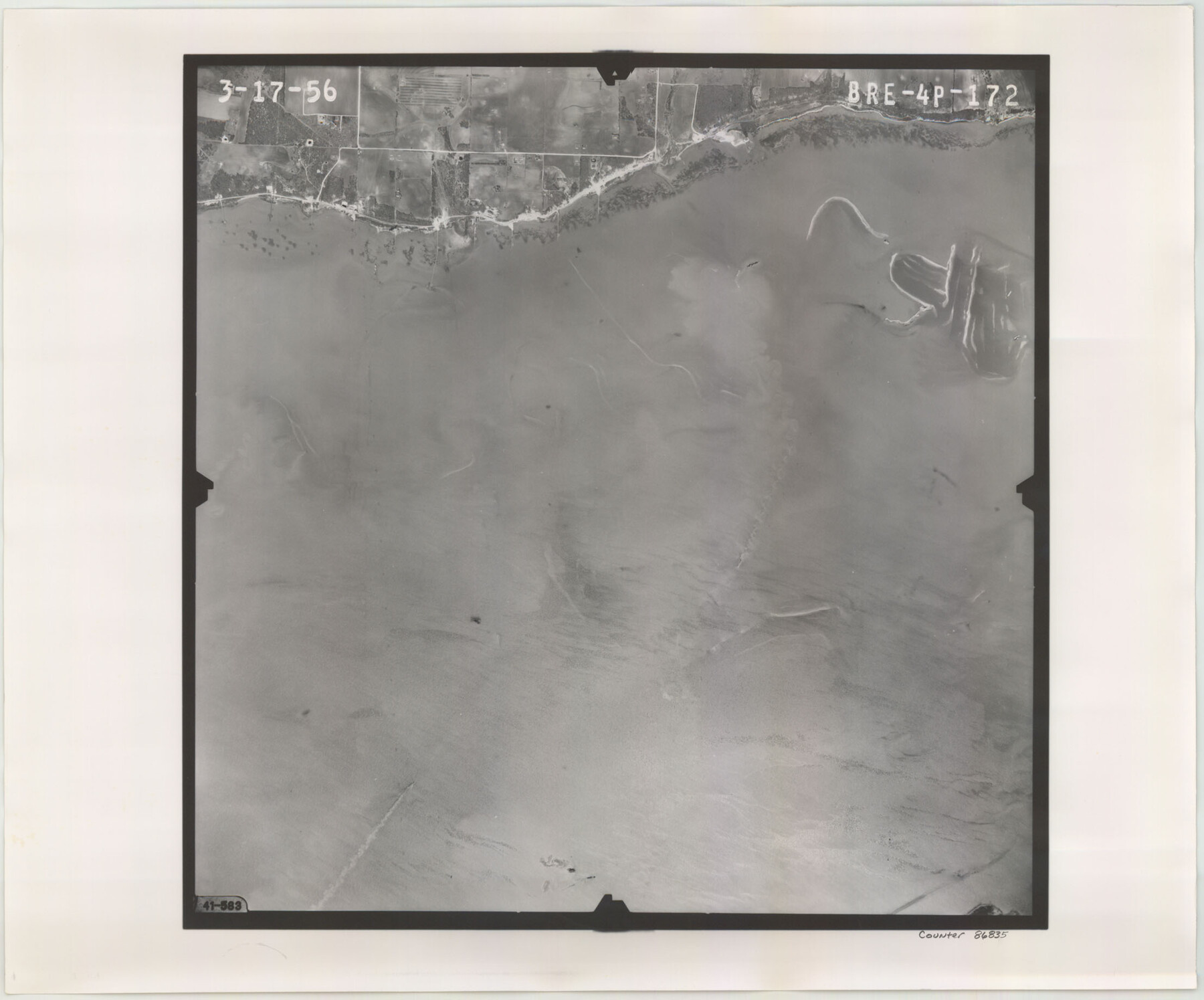
Flight Mission No. BRE-4P, Frame 172, Nueces County
BRE-4P-172
-
Map/Doc
86835
-
Collection
General Map Collection
-
Object Dates
1956/3/17 (Creation Date)
-
People and Organizations
U. S. Department of Agriculture (Publisher)
-
Counties
Nueces
-
Subjects
Aerial Photograph
-
Height x Width
18.4 x 22.1 inches
46.7 x 56.1 cm
-
Comments
Flown by V. L. Beavers and Associates of San Antonio, Texas.
Part of: General Map Collection
Flight Mission No. CRK-7P, Frame 132, Refugio County

Print $20.00
- Digital $50.00
Flight Mission No. CRK-7P, Frame 132, Refugio County
1956
Size 18.3 x 22.1 inches
Map/Doc 86955
Matagorda County Working Sketch 24

Print $20.00
- Digital $50.00
Matagorda County Working Sketch 24
1972
Size 25.3 x 34.5 inches
Map/Doc 70882
Mitchell County Working Sketch Graphic Index

Print $20.00
- Digital $50.00
Mitchell County Working Sketch Graphic Index
1971
Size 41.0 x 34.4 inches
Map/Doc 76644
Flight Mission No. CUG-3P, Frame 93, Kleberg County

Print $20.00
- Digital $50.00
Flight Mission No. CUG-3P, Frame 93, Kleberg County
1956
Size 18.5 x 22.2 inches
Map/Doc 86263
Harris County Rolled Sketch ACS

Print $40.00
- Digital $50.00
Harris County Rolled Sketch ACS
1933
Size 32.7 x 52.8 inches
Map/Doc 8343
Sutton County Sketch File 27

Print $20.00
- Digital $50.00
Sutton County Sketch File 27
Size 38.8 x 15.1 inches
Map/Doc 10377
Presidio County Sketch File 57

Print $8.00
- Digital $50.00
Presidio County Sketch File 57
1938
Size 14.3 x 8.9 inches
Map/Doc 34624
Comanche County Boundary File 2b

Print $12.00
- Digital $50.00
Comanche County Boundary File 2b
Size 14.3 x 8.9 inches
Map/Doc 51790
Travis County

Print $40.00
- Digital $50.00
Travis County
1880
Size 62.1 x 50.2 inches
Map/Doc 87935
Duval County Boundary File 3m

Print $8.00
- Digital $50.00
Duval County Boundary File 3m
Size 12.8 x 8.1 inches
Map/Doc 52763
Jasper County Working Sketch 7

Print $20.00
- Digital $50.00
Jasper County Working Sketch 7
1914
Size 24.2 x 26.3 inches
Map/Doc 66469
Pecos County Working Sketch 84

Print $20.00
- Digital $50.00
Pecos County Working Sketch 84
1961
Size 26.1 x 23.0 inches
Map/Doc 71556
You may also like
Webb County Rolled Sketch 23

Print $40.00
- Digital $50.00
Webb County Rolled Sketch 23
Size 138.8 x 38.2 inches
Map/Doc 10121
Working Sketch in Travis County

Print $20.00
- Digital $50.00
Working Sketch in Travis County
1923
Size 15.4 x 18.6 inches
Map/Doc 91866
Brooks County Sketch File 5

Print $18.00
- Digital $50.00
Brooks County Sketch File 5
1941
Size 11.3 x 9.0 inches
Map/Doc 16551
Map and Profile No. 1 from the Red River to the Rio Grande; from explorations and surveys made under the direction of the Hon. Jefferson Davis, Secretary of War by Captain John Pope, Corps. Topl Engrs.

Print $40.00
- Digital $50.00
Map and Profile No. 1 from the Red River to the Rio Grande; from explorations and surveys made under the direction of the Hon. Jefferson Davis, Secretary of War by Captain John Pope, Corps. Topl Engrs.
Size 30.2 x 59.9 inches
Map/Doc 95176
Flight Mission No. DCL-7C, Frame 37, Kenedy County

Print $20.00
- Digital $50.00
Flight Mission No. DCL-7C, Frame 37, Kenedy County
1943
Size 15.4 x 15.3 inches
Map/Doc 86025
Hutchinson County Rolled Sketch 23

Print $20.00
- Digital $50.00
Hutchinson County Rolled Sketch 23
1913
Size 29.7 x 25.6 inches
Map/Doc 6288
Hansford County Sketch File 1

Print $7.00
- Digital $50.00
Hansford County Sketch File 1
1888
Size 39.0 x 31.3 inches
Map/Doc 10475
General Sketch from Garza, Lynn, Dawson and Borden Counties

Print $20.00
- Digital $50.00
General Sketch from Garza, Lynn, Dawson and Borden Counties
1904
Size 43.3 x 37.4 inches
Map/Doc 89933
Map of Motley County

Print $20.00
- Digital $50.00
Map of Motley County
1902
Size 43.4 x 37.7 inches
Map/Doc 10799
Flight Mission No. CGI-3N, Frame 167, Cameron County

Print $20.00
- Digital $50.00
Flight Mission No. CGI-3N, Frame 167, Cameron County
1954
Size 18.6 x 22.4 inches
Map/Doc 84631
Plat in Pecos County, Texas

Print $40.00
- Digital $50.00
Plat in Pecos County, Texas
1927
Size 58.3 x 37.9 inches
Map/Doc 89877
Morris County Rolled Sketch 2A

Print $20.00
- Digital $50.00
Morris County Rolled Sketch 2A
Size 24.3 x 19.1 inches
Map/Doc 10242