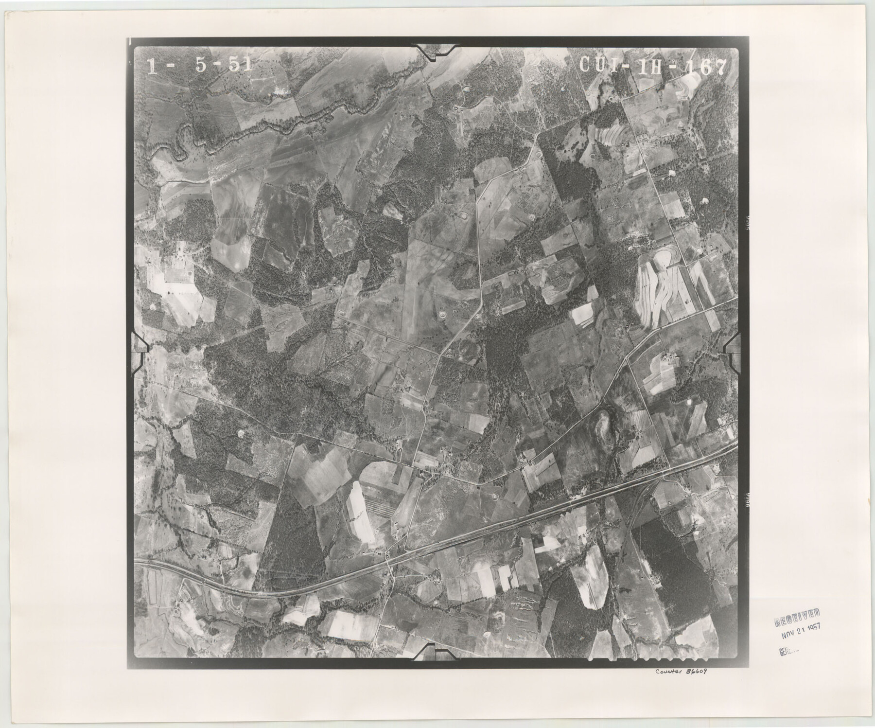
Flight Mission No. CUI-1H, Frame 167, Milam County
CUI-1H-167
-
Map/Doc
86609
-
Collection
General Map Collection
-
Object Dates
1951/1/5 (Creation Date)
-
People and Organizations
U. S. Department of Agriculture (Publisher)
-
Counties
Milam
-
Subjects
Aerial Photograph
-
Height x Width
18.5 x 22.2 inches
47.0 x 56.4 cm
-
Comments
Flown by Robinson Aerial Surveys, Inc. of Newark 7 , New Jersey.
Part of: General Map Collection
Proceedings of The International (Water) Boundary Commission United States and Mexico Treaties of 1884 and 1889, Volume 1

Proceedings of The International (Water) Boundary Commission United States and Mexico Treaties of 1884 and 1889, Volume 1
Map/Doc 83146
Anderson County Boundary File 10

Print $13.00
- Digital $50.00
Anderson County Boundary File 10
Size 16.0 x 10.2 inches
Map/Doc 49759
Flight Mission No. CRC-4R, Frame 177, Chambers County

Print $20.00
- Digital $50.00
Flight Mission No. CRC-4R, Frame 177, Chambers County
1956
Size 18.7 x 22.3 inches
Map/Doc 84928
Borden County Sketch File 3a

Print $4.00
- Digital $50.00
Borden County Sketch File 3a
1902
Size 12.5 x 8.6 inches
Map/Doc 14705
[McMullen and Live Oak County]
![10789, [McMullen and Live Oak County], General Map Collection](https://historictexasmaps.com/wmedia_w700/maps/10789.tif.jpg)
Print $20.00
- Digital $50.00
[McMullen and Live Oak County]
1870
Size 34.3 x 36.0 inches
Map/Doc 10789
Ochiltree County Rolled Sketch 1

Print $20.00
- Digital $50.00
Ochiltree County Rolled Sketch 1
1942
Size 29.3 x 38.8 inches
Map/Doc 9655
Zapata County Working Sketch 21

Print $40.00
- Digital $50.00
Zapata County Working Sketch 21
1981
Size 32.8 x 52.5 inches
Map/Doc 62072
Bee County Working Sketch 15

Print $20.00
- Digital $50.00
Bee County Working Sketch 15
1974
Size 20.4 x 27.9 inches
Map/Doc 67265
Brewster County Sketch File 15

Print $120.00
- Digital $50.00
Brewster County Sketch File 15
1935
Size 14.2 x 8.8 inches
Map/Doc 15758
Ector County Working Sketch 32

Print $20.00
- Digital $50.00
Ector County Working Sketch 32
1981
Size 26.2 x 17.0 inches
Map/Doc 68875
Flight Mission No. DAG-17K, Frame 62, Matagorda County

Print $20.00
- Digital $50.00
Flight Mission No. DAG-17K, Frame 62, Matagorda County
1952
Size 16.4 x 16.4 inches
Map/Doc 86324
Swisher County

Print $20.00
- Digital $50.00
Swisher County
1941
Size 45.2 x 38.0 inches
Map/Doc 63055
You may also like
Flight Mission No. CGI-4N, Frame 158, Cameron County

Print $20.00
- Digital $50.00
Flight Mission No. CGI-4N, Frame 158, Cameron County
1955
Size 18.5 x 22.2 inches
Map/Doc 84666
Real County Working Sketch 66

Print $20.00
- Digital $50.00
Real County Working Sketch 66
1970
Size 35.5 x 29.4 inches
Map/Doc 71958
Polk County Sketch File 31

Print $10.00
- Digital $50.00
Polk County Sketch File 31
Size 14.2 x 8.6 inches
Map/Doc 34221
Map of Bandera County

Print $20.00
- Digital $50.00
Map of Bandera County
1878
Size 19.3 x 29.4 inches
Map/Doc 3272
Red River County Sketch File 17a

Print $4.00
- Digital $50.00
Red River County Sketch File 17a
1853
Size 12.6 x 8.1 inches
Map/Doc 35145
Nueces County NRC Article 33.136 Sketch 9

Print $32.00
- Digital $50.00
Nueces County NRC Article 33.136 Sketch 9
2005
Size 22.2 x 33.5 inches
Map/Doc 83414
Sutton County Rolled Sketch 42

Print $20.00
- Digital $50.00
Sutton County Rolled Sketch 42
Size 16.2 x 20.1 inches
Map/Doc 7884
Bosque County Working Sketch 32

Print $20.00
- Digital $50.00
Bosque County Working Sketch 32
2014
Size 24.3 x 24.7 inches
Map/Doc 93687
Flight Mission No. DQO-2K, Frame 86, Galveston County

Print $20.00
- Digital $50.00
Flight Mission No. DQO-2K, Frame 86, Galveston County
1952
Size 19.0 x 22.5 inches
Map/Doc 85013
Clay County Boundary File 17

Print $8.00
- Digital $50.00
Clay County Boundary File 17
Size 13.8 x 8.4 inches
Map/Doc 51432
Presidio County Rolled Sketch 84

Print $20.00
- Digital $50.00
Presidio County Rolled Sketch 84
1942
Size 22.7 x 33.1 inches
Map/Doc 9779
Located Line of the Panhandle & Gulf Ry. through State Lands, Public School and University, Right of Way 200 feet wide, in Brewster County, Texas.

Print $40.00
- Digital $50.00
Located Line of the Panhandle & Gulf Ry. through State Lands, Public School and University, Right of Way 200 feet wide, in Brewster County, Texas.
1904
Size 14.8 x 99.1 inches
Map/Doc 64059