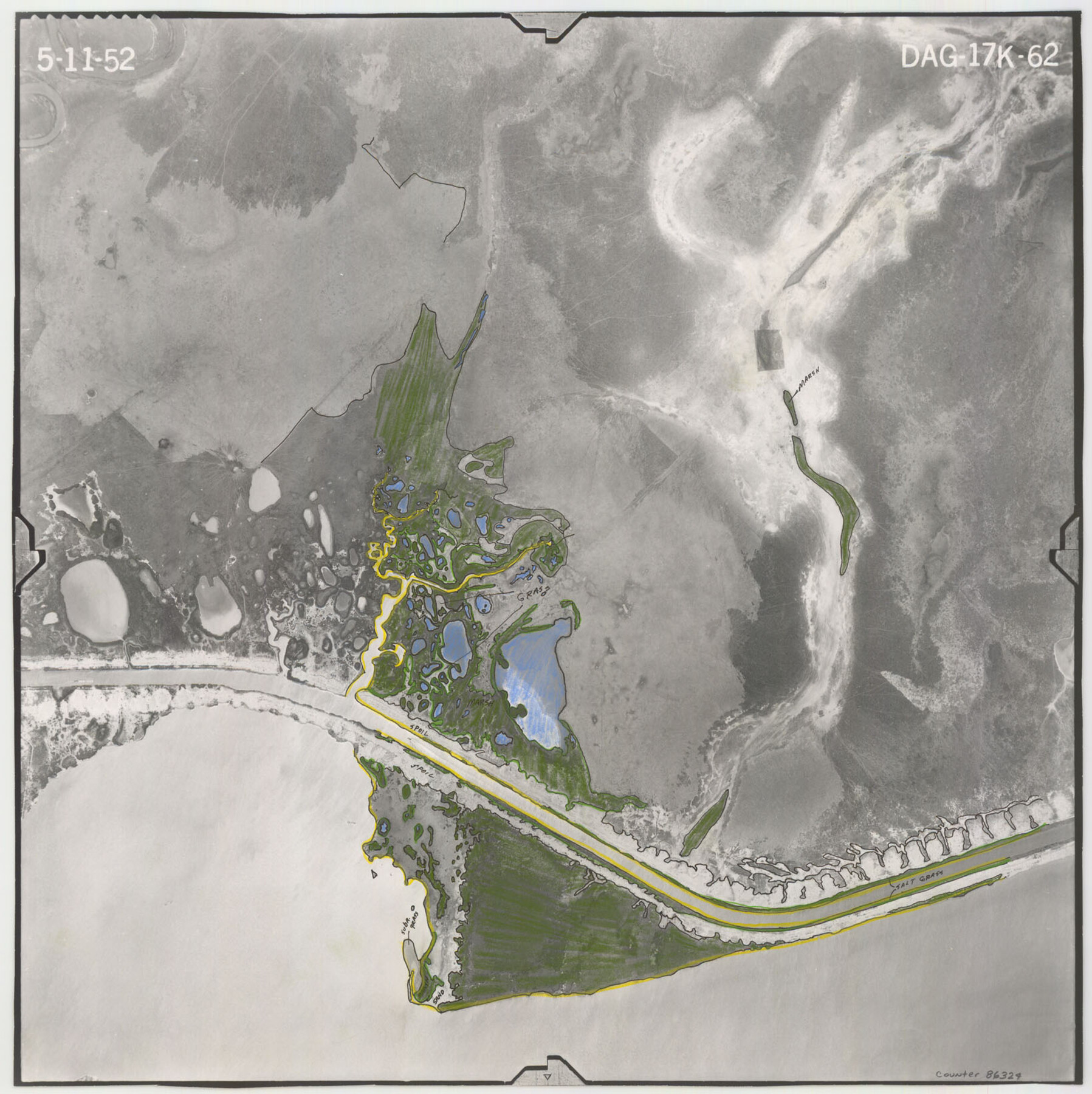
Flight Mission No. DAG-17K, Frame 62, Matagorda County
DAG-17K-62
-
Map/Doc
86324
-
Collection
General Map Collection
-
Object Dates
1952/5/11 (Creation Date)
-
People and Organizations
U. S. Department of Agriculture (Publisher)
-
Counties
Matagorda
-
Subjects
Aerial Photograph
-
Height x Width
16.4 x 16.4 inches
41.7 x 41.7 cm
-
Comments
Flown by Aero Exploration Company of Tulsa, Oklahoma.
Part of: General Map Collection
Crosby County Boundary File 5a

Print $60.00
- Digital $50.00
Crosby County Boundary File 5a
Size 8.0 x 35.4 inches
Map/Doc 52044
Maverick County Working Sketch 14

Print $20.00
- Digital $50.00
Maverick County Working Sketch 14
1970
Size 41.2 x 42.6 inches
Map/Doc 70906
Right of Way and Track Map, International & Gt. Northern Ry. operated by the International & Gt. Northern Ry. Co. Gulf Division, Mineola Branch

Print $40.00
- Digital $50.00
Right of Way and Track Map, International & Gt. Northern Ry. operated by the International & Gt. Northern Ry. Co. Gulf Division, Mineola Branch
1917
Size 26.3 x 125.4 inches
Map/Doc 64700
Flight Mission No. CGN-3P, Frame 23, San Patricio County

Print $20.00
- Digital $50.00
Flight Mission No. CGN-3P, Frame 23, San Patricio County
1956
Size 18.6 x 22.2 inches
Map/Doc 86981
Travis County Appraisal District Plat Map 3_0104

Print $20.00
- Digital $50.00
Travis County Appraisal District Plat Map 3_0104
Size 21.5 x 26.4 inches
Map/Doc 94224
Ward County Working Sketch 17

Print $20.00
- Digital $50.00
Ward County Working Sketch 17
1948
Size 30.1 x 32.5 inches
Map/Doc 72323
Culberson County Working Sketch 60

Print $40.00
- Digital $50.00
Culberson County Working Sketch 60
1974
Size 74.7 x 32.7 inches
Map/Doc 68514
Henderson County Rolled Sketch 11

Print $20.00
- Digital $50.00
Henderson County Rolled Sketch 11
1915
Size 29.4 x 42.5 inches
Map/Doc 75956
[Beaumont, Sour Lake and Western Ry. Right of Way and Alignment - Frisco]
![64119, [Beaumont, Sour Lake and Western Ry. Right of Way and Alignment - Frisco], General Map Collection](https://historictexasmaps.com/wmedia_w700/maps/64119.tif.jpg)
Print $20.00
- Digital $50.00
[Beaumont, Sour Lake and Western Ry. Right of Way and Alignment - Frisco]
1910
Size 20.0 x 45.8 inches
Map/Doc 64119
Matagorda County NRC Article 33.136 Location Key Sheet

Print $20.00
- Digital $50.00
Matagorda County NRC Article 33.136 Location Key Sheet
1973
Size 27.0 x 23.0 inches
Map/Doc 88833
San Jacinto County Rolled Sketch 14

Print $20.00
- Digital $50.00
San Jacinto County Rolled Sketch 14
1998
Size 28.0 x 40.0 inches
Map/Doc 7565
Runnels County Working Sketch Graphic Index

Print $20.00
- Digital $50.00
Runnels County Working Sketch Graphic Index
1948
Size 46.8 x 36.9 inches
Map/Doc 76687
You may also like
Nueces County Sketch File 71

Print $19.00
- Digital $50.00
Nueces County Sketch File 71
1991
Size 11.2 x 8.7 inches
Map/Doc 33011
Map of Nacogdoches County

Print $40.00
- Digital $50.00
Map of Nacogdoches County
1839
Size 83.3 x 79.2 inches
Map/Doc 16775
Yoakum County Sketch File 20

Print $22.00
- Digital $50.00
Yoakum County Sketch File 20
1977
Size 13.1 x 14.5 inches
Map/Doc 40841
Intracoastal Waterway in Texas - Corpus Christi to Point Isabel including Arroyo Colorado to Mo. Pac. R.R. Bridge Near Harlingen

Print $20.00
- Digital $50.00
Intracoastal Waterway in Texas - Corpus Christi to Point Isabel including Arroyo Colorado to Mo. Pac. R.R. Bridge Near Harlingen
1933
Size 27.7 x 41.0 inches
Map/Doc 61857
The Republic County of Shelby. Spring 1842

Print $20.00
The Republic County of Shelby. Spring 1842
2020
Size 20.0 x 21.7 inches
Map/Doc 96284
W. D. Twichell's and R. S. Hunnicutt's Resurvey in Oldham County, Texas June to November, 1915

Print $40.00
- Digital $50.00
W. D. Twichell's and R. S. Hunnicutt's Resurvey in Oldham County, Texas June to November, 1915
1915
Size 71.2 x 43.1 inches
Map/Doc 89974
Pecos County Working Sketch 89

Print $20.00
- Digital $50.00
Pecos County Working Sketch 89
1964
Size 46.5 x 34.2 inches
Map/Doc 78216
Newton County Working Sketch 32

Print $20.00
- Digital $50.00
Newton County Working Sketch 32
1955
Size 22.9 x 24.0 inches
Map/Doc 71278
Montgomery County Sketch File 39

Print $4.00
- Digital $50.00
Montgomery County Sketch File 39
1941
Size 14.6 x 8.6 inches
Map/Doc 31923
Ector County Working Sketch 20

Print $40.00
- Digital $50.00
Ector County Working Sketch 20
1958
Size 61.5 x 38.4 inches
Map/Doc 68863
Bandera County

Print $40.00
- Digital $50.00
Bandera County
1947
Size 33.7 x 54.2 inches
Map/Doc 77207
Trinity River, Sycamore Crossing Sheet/Denton Creek

Print $6.00
- Digital $50.00
Trinity River, Sycamore Crossing Sheet/Denton Creek
1928
Size 26.7 x 34.7 inches
Map/Doc 65224