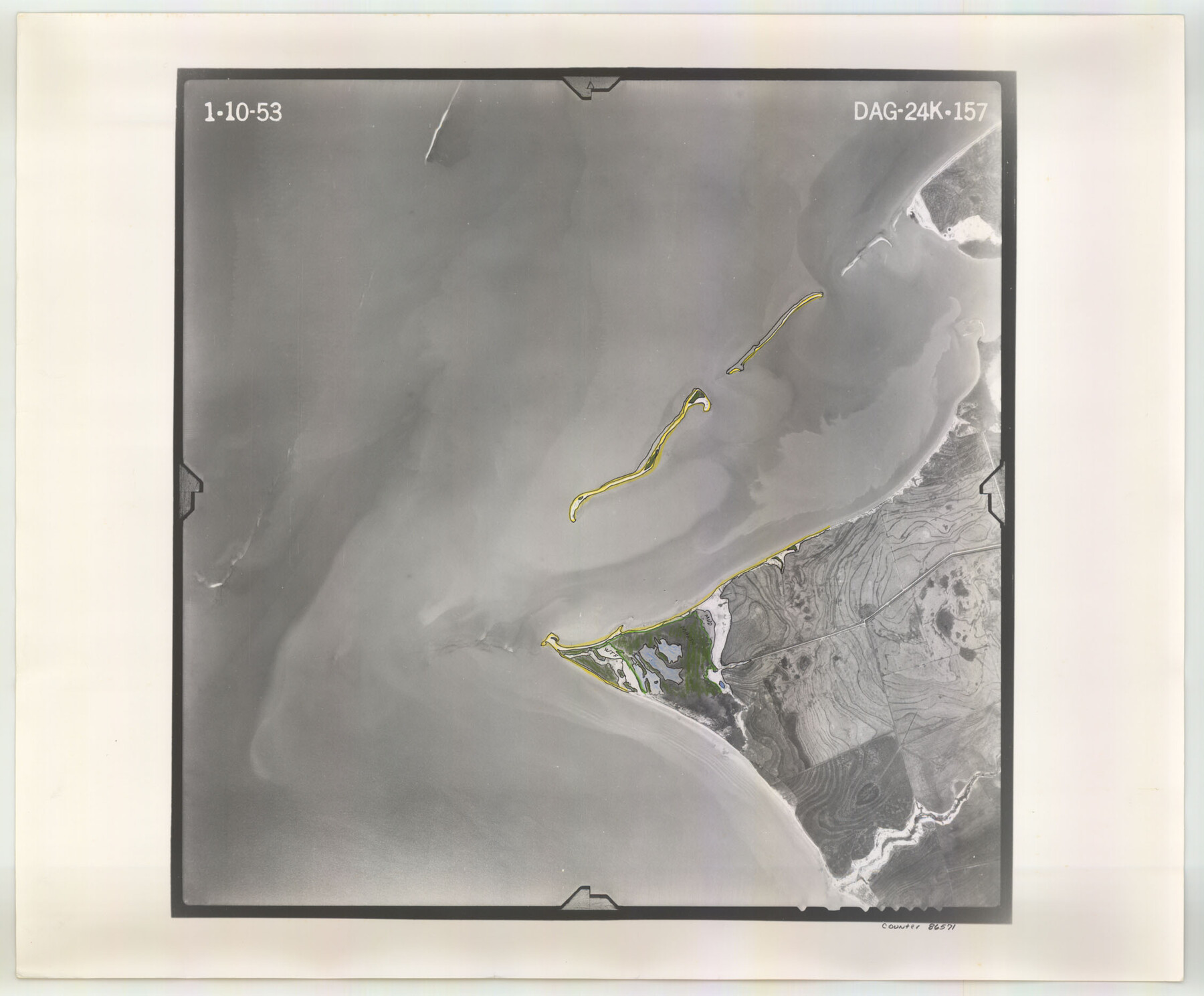
Flight Mission No. DAG-24K, Frame 157, Matagorda County
DAG-24K-157
-
Map/Doc
86571
-
Collection
General Map Collection
-
Object Dates
1953/1/10 (Creation Date)
-
People and Organizations
U. S. Department of Agriculture (Publisher)
-
Counties
Matagorda
-
Subjects
Aerial Photograph
-
Height x Width
18.6 x 22.5 inches
47.2 x 57.2 cm
-
Comments
Flown by Aero Exploration Company of Tulsa, Oklahoma.
Part of: General Map Collection
Flight Mission No. BRA-16M, Frame 150, Jefferson County

Print $20.00
- Digital $50.00
Flight Mission No. BRA-16M, Frame 150, Jefferson County
1953
Size 18.5 x 22.3 inches
Map/Doc 85756
Flight Mission No. DQN-1K, Frame 83, Calhoun County

Print $20.00
- Digital $50.00
Flight Mission No. DQN-1K, Frame 83, Calhoun County
1953
Size 18.4 x 22.2 inches
Map/Doc 84168
Kleberg County Rolled Sketch 10-43

Print $20.00
- Digital $50.00
Kleberg County Rolled Sketch 10-43
1951
Size 37.2 x 34.9 inches
Map/Doc 9395
Webb County Rolled Sketch 78

Print $20.00
- Digital $50.00
Webb County Rolled Sketch 78
2011
Size 33.1 x 24.6 inches
Map/Doc 90052
Henderson County Rolled Sketch 11

Print $20.00
- Digital $50.00
Henderson County Rolled Sketch 11
1915
Size 29.5 x 42.5 inches
Map/Doc 75960
Dallas County Boundary File 6d

Print $104.00
- Digital $50.00
Dallas County Boundary File 6d
Size 14.2 x 8.6 inches
Map/Doc 52229
Orange County Rolled Sketch 26

Print $20.00
- Digital $50.00
Orange County Rolled Sketch 26
1952
Size 35.2 x 43.0 inches
Map/Doc 9649
Jasper County Rolled Sketch 2

Print $20.00
- Digital $50.00
Jasper County Rolled Sketch 2
1941
Size 22.5 x 16.6 inches
Map/Doc 6348
Nautical Chart 887-SC Intracoastal Waterway - Galveston Bay to Cedar Lakes including the Brazos and San Bernard Rivers, Texas

Print $20.00
- Digital $50.00
Nautical Chart 887-SC Intracoastal Waterway - Galveston Bay to Cedar Lakes including the Brazos and San Bernard Rivers, Texas
1971
Size 16.2 x 18.9 inches
Map/Doc 75911
Presidio County Working Sketch 120

Print $6.00
- Digital $50.00
Presidio County Working Sketch 120
1984
Size 34.6 x 28.9 inches
Map/Doc 71797
Harris County Boundary File 39 (15)

Print $8.00
- Digital $50.00
Harris County Boundary File 39 (15)
Size 7.2 x 8.3 inches
Map/Doc 54350
Flight Mission No. DCL-7C, Frame 17, Kenedy County

Print $20.00
- Digital $50.00
Flight Mission No. DCL-7C, Frame 17, Kenedy County
1943
Size 15.3 x 15.2 inches
Map/Doc 86009
You may also like
General Highway Map, Hemphill County, Texas

Print $20.00
General Highway Map, Hemphill County, Texas
1961
Size 18.3 x 24.6 inches
Map/Doc 79515
Walker County

Print $20.00
- Digital $50.00
Walker County
1944
Size 40.4 x 34.4 inches
Map/Doc 77448
Gillespie County Working Sketch 2

Print $20.00
- Digital $50.00
Gillespie County Working Sketch 2
1958
Size 35.9 x 26.0 inches
Map/Doc 63165
Haskell County Rolled Sketch 8

Print $20.00
- Digital $50.00
Haskell County Rolled Sketch 8
1954
Size 43.4 x 47.7 inches
Map/Doc 9146

Terrell County Working Sketch 83

Print $20.00
- Digital $50.00
Terrell County Working Sketch 83
1992
Size 22.0 x 35.9 inches
Map/Doc 69604
Armstrong County

Print $20.00
- Digital $50.00
Armstrong County
1904
Size 45.7 x 40.6 inches
Map/Doc 4876
Pecos County Sketch File 41

Print $32.00
- Digital $50.00
Pecos County Sketch File 41
1919
Size 11.2 x 8.8 inches
Map/Doc 33729
La Salle County Rolled Sketch 27

Print $20.00
- Digital $50.00
La Salle County Rolled Sketch 27
1979
Size 29.0 x 38.2 inches
Map/Doc 6588
Wilson County Working Sketch 13

Print $40.00
- Digital $50.00
Wilson County Working Sketch 13
1985
Size 23.9 x 53.5 inches
Map/Doc 72593
Stephens County Rolled Sketch 3

Print $20.00
- Digital $50.00
Stephens County Rolled Sketch 3
1919
Size 34.9 x 19.6 inches
Map/Doc 7840
Maps of Gulf Intracoastal Waterway, Texas - Sabine River to the Rio Grande and connecting waterways including ship channels

Print $20.00
- Digital $50.00
Maps of Gulf Intracoastal Waterway, Texas - Sabine River to the Rio Grande and connecting waterways including ship channels
1966
Size 14.5 x 22.2 inches
Map/Doc 61972