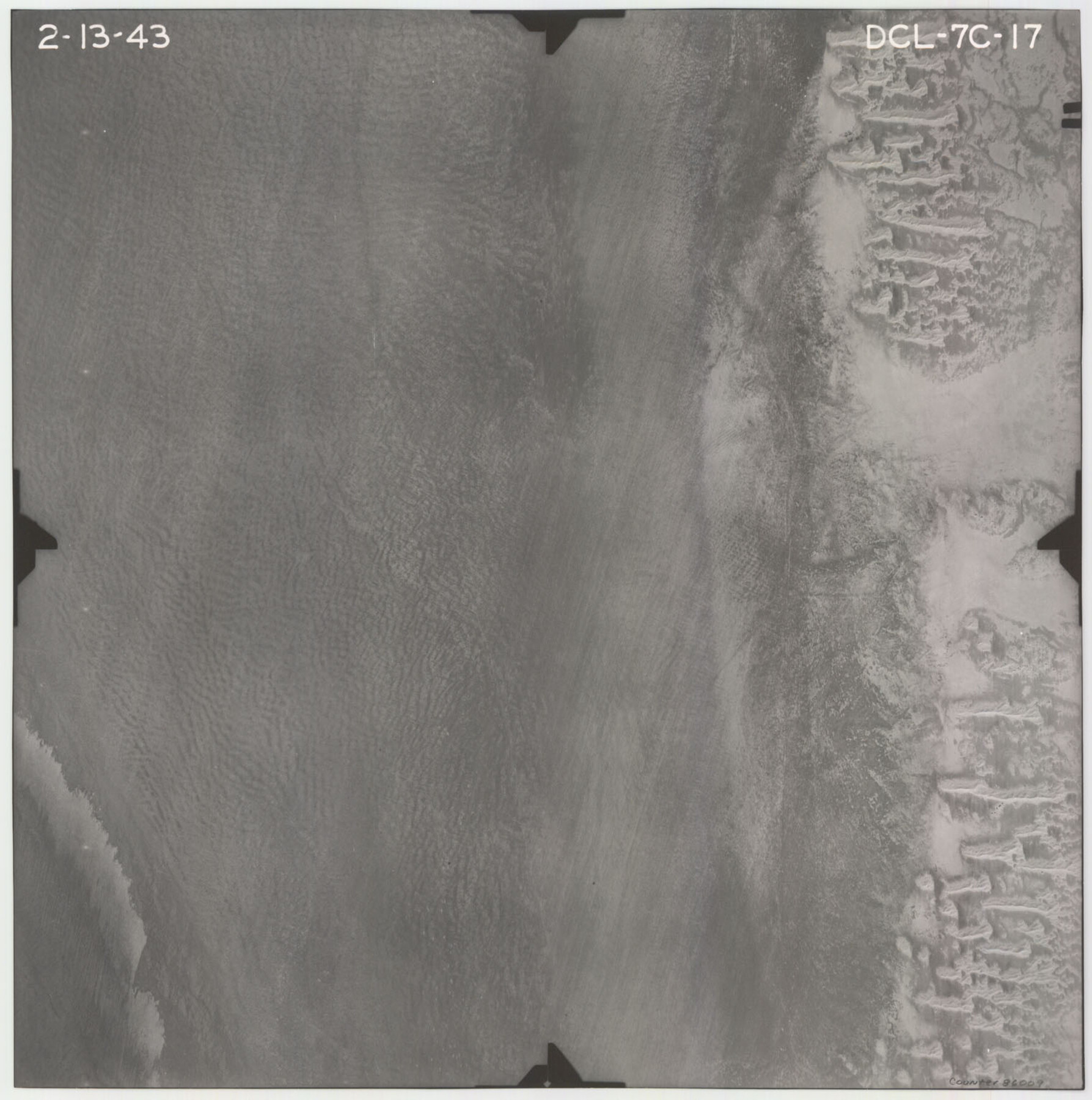
Flight Mission No. DCL-7C, Frame 17, Kenedy County
DCL-7C-17
-
Map/Doc
86009
-
Collection
General Map Collection
-
Object Dates
1943/2/13 (Creation Date)
-
People and Organizations
U. S. Department of Agriculture (Publisher)
-
Counties
Kenedy
-
Subjects
Aerial Photograph
-
Height x Width
15.3 x 15.2 inches
38.9 x 38.6 cm
-
Comments
Flown by Aerial Surveys of Pittsburgh, Inc. of Pittsburgh, Pennsylvania.
Part of: General Map Collection
Wichita County Working Sketch 25

Print $20.00
- Digital $50.00
Wichita County Working Sketch 25
1980
Size 27.1 x 27.7 inches
Map/Doc 72535
Pecos County Rolled Sketch CM-2

Print $20.00
- Digital $50.00
Pecos County Rolled Sketch CM-2
1938
Size 33.6 x 41.3 inches
Map/Doc 9716
Phelps & Watson's historical and military map of the border & southern states

Print $20.00
- Digital $50.00
Phelps & Watson's historical and military map of the border & southern states
1863
Size 26.1 x 37.1 inches
Map/Doc 97083
Travis County Appraisal District Plat Map 1_0100

Print $20.00
- Digital $50.00
Travis County Appraisal District Plat Map 1_0100
Size 21.6 x 26.4 inches
Map/Doc 94205
El Paso County Working Sketch 45

Print $20.00
- Digital $50.00
El Paso County Working Sketch 45
1986
Size 38.0 x 27.0 inches
Map/Doc 69067
Terrell County Sketch File 10

Print $44.00
- Digital $50.00
Terrell County Sketch File 10
1902
Size 9.7 x 4.6 inches
Map/Doc 37910
Morris County Rolled Sketch 2A

Print $20.00
- Digital $50.00
Morris County Rolled Sketch 2A
Size 24.5 x 19.4 inches
Map/Doc 10248
Map of Texas with Parts of the Adjoining States

Print $20.00
- Digital $50.00
Map of Texas with Parts of the Adjoining States
1837
Size 31.5 x 24.9 inches
Map/Doc 2114
Childress County Rolled Sketch 9

Print $20.00
- Digital $50.00
Childress County Rolled Sketch 9
Size 19.3 x 22.9 inches
Map/Doc 5446
Tyler County Sketch File A1

Print $22.00
- Digital $50.00
Tyler County Sketch File A1
Size 12.7 x 15.7 inches
Map/Doc 38605
Edwards County Working Sketch 27

Print $20.00
- Digital $50.00
Edwards County Working Sketch 27
1944
Size 27.7 x 23.9 inches
Map/Doc 68903
San Jacinto County Rolled Sketch 9

Print $20.00
- Digital $50.00
San Jacinto County Rolled Sketch 9
1944
Size 39.9 x 36.8 inches
Map/Doc 9881
You may also like
Nueces County Aerial Photograph Index Sheet 2

Print $20.00
- Digital $50.00
Nueces County Aerial Photograph Index Sheet 2
1956
Size 19.5 x 23.3 inches
Map/Doc 83737
General Highway Map, Milam County, Texas

Print $20.00
General Highway Map, Milam County, Texas
1961
Size 18.1 x 24.6 inches
Map/Doc 79597
[Columbus Tap RR. Co. Block 1-A, B. S. & F. Block 1, T. & N. O. Block 7T and vicinity]
![90577, [Columbus Tap RR. Co. Block 1-A, B. S. & F. Block 1, T. & N. O. Block 7T and vicinity], Twichell Survey Records](https://historictexasmaps.com/wmedia_w700/maps/90577-1.tif.jpg)
Print $2.00
- Digital $50.00
[Columbus Tap RR. Co. Block 1-A, B. S. & F. Block 1, T. & N. O. Block 7T and vicinity]
Size 6.1 x 9.6 inches
Map/Doc 90577
Chambers County Working Sketch 13

Print $20.00
- Digital $50.00
Chambers County Working Sketch 13
1956
Size 30.1 x 24.6 inches
Map/Doc 67996
Kinney County Working Sketch 17

Print $20.00
- Digital $50.00
Kinney County Working Sketch 17
1947
Size 29.4 x 38.7 inches
Map/Doc 70199
General Highway Map, Gregg County, Texas

Print $20.00
General Highway Map, Gregg County, Texas
1961
Size 18.1 x 24.7 inches
Map/Doc 79488
Real County Working Sketch 23

Print $20.00
- Digital $50.00
Real County Working Sketch 23
1946
Size 20.4 x 23.4 inches
Map/Doc 71915

Harrison County Working Sketch 27

Print $20.00
- Digital $50.00
Harrison County Working Sketch 27
1988
Size 29.2 x 36.9 inches
Map/Doc 66047
[Blocks D, DD Showing Terrain]
![92445, [Blocks D, DD Showing Terrain], Twichell Survey Records](https://historictexasmaps.com/wmedia_w700/maps/92445-1.tif.jpg)
Print $20.00
- Digital $50.00
[Blocks D, DD Showing Terrain]
Size 30.8 x 17.2 inches
Map/Doc 92445
[Blocks B5, B6 and Capitol Land Reservation]
![93014, [Blocks B5, B6 and Capitol Land Reservation], Twichell Survey Records](https://historictexasmaps.com/wmedia_w700/maps/93014-1.tif.jpg)
Print $20.00
- Digital $50.00
[Blocks B5, B6 and Capitol Land Reservation]
Size 20.6 x 18.6 inches
Map/Doc 93014
Texas and the Great War

Print $20.00
- Digital $50.00
Texas and the Great War
2017
Size 24.3 x 18.3 inches
Map/Doc 94412