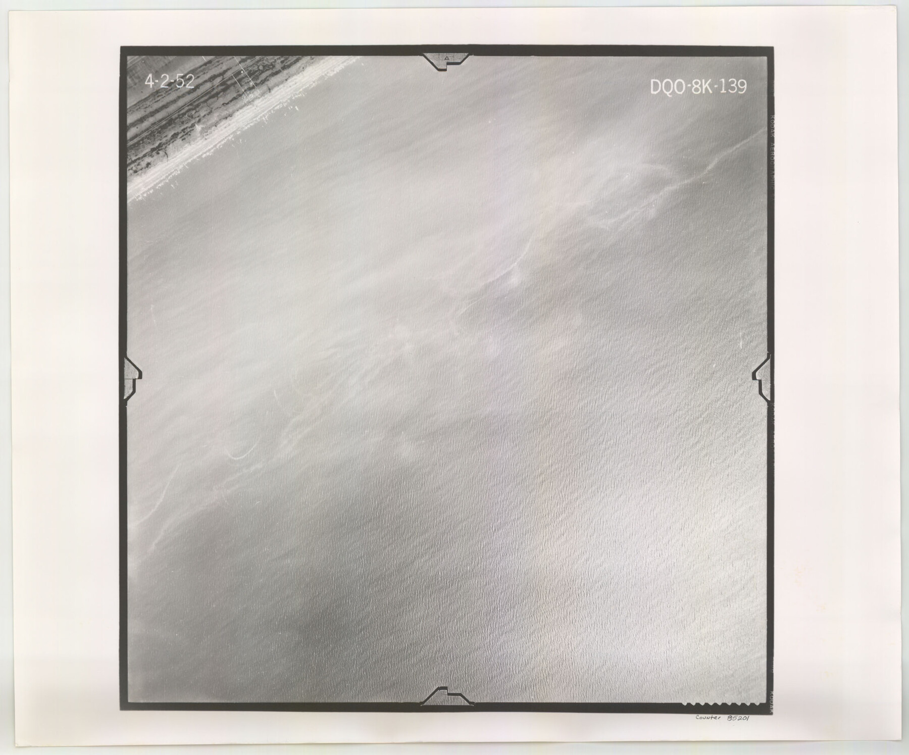
Flight Mission No. DQO-8K, Frame 139, Galveston County
DQO-8K-139
-
Map/Doc
85201
-
Collection
General Map Collection
-
Object Dates
1952/4/2 (Creation Date)
-
People and Organizations
U. S. Department of Agriculture (Publisher)
-
Counties
Galveston
-
Subjects
Aerial Photograph
-
Height x Width
18.6 x 22.4 inches
47.2 x 56.9 cm
-
Comments
Flown by Aero Exploration Company of Tulsa, Oklahoma.
Part of: General Map Collection
Ellis County Sketch File 18a

Print $40.00
- Digital $50.00
Ellis County Sketch File 18a
Size 12.8 x 16.0 inches
Map/Doc 21864
Harris County Rolled Sketch 59

Print $20.00
- Digital $50.00
Harris County Rolled Sketch 59
1937
Size 18.7 x 20.9 inches
Map/Doc 6105
Concho County Working Sketch 9

Print $20.00
- Digital $50.00
Concho County Working Sketch 9
1950
Size 20.0 x 14.6 inches
Map/Doc 68191
Maps of Gulf Intracoastal Waterway, Texas - Sabine River to the Rio Grande and connecting waterways including ship channels

Print $20.00
- Digital $50.00
Maps of Gulf Intracoastal Waterway, Texas - Sabine River to the Rio Grande and connecting waterways including ship channels
1966
Size 14.5 x 22.2 inches
Map/Doc 61926

Coryell County Working Sketch 23

Print $20.00
- Digital $50.00
Coryell County Working Sketch 23
1977
Size 27.6 x 30.6 inches
Map/Doc 68230
Controlled Mosaic by Jack Amman Photogrammetric Engineers, Inc - Sheet 20

Print $20.00
- Digital $50.00
Controlled Mosaic by Jack Amman Photogrammetric Engineers, Inc - Sheet 20
1954
Size 19.3 x 24.0 inches
Map/Doc 83469
Bandera County Working Sketch 19

Print $20.00
- Digital $50.00
Bandera County Working Sketch 19
1946
Size 43.3 x 35.8 inches
Map/Doc 67615
List of County School Lands

Print $20.00
- Digital $50.00
List of County School Lands
Size 18.4 x 23.4 inches
Map/Doc 65798
Harris County Historic Topographic 15

Print $20.00
- Digital $50.00
Harris County Historic Topographic 15
1916
Size 29.2 x 22.9 inches
Map/Doc 65825
Bandera County Working Sketch 9

Print $20.00
- Digital $50.00
Bandera County Working Sketch 9
1920
Size 15.2 x 17.1 inches
Map/Doc 67602
Pecos County Rolled Sketch 135

Print $20.00
- Digital $50.00
Pecos County Rolled Sketch 135
Size 18.1 x 23.3 inches
Map/Doc 7271
You may also like
Denton County Sketch File 22

Print $4.00
- Digital $50.00
Denton County Sketch File 22
1872
Size 8.5 x 16.0 inches
Map/Doc 20746
Presidio County Sketch File 92

Print $10.00
- Digital $50.00
Presidio County Sketch File 92
1958
Size 11.2 x 8.8 inches
Map/Doc 34765
General Highway Map, Calhoun County, Texas

Print $20.00
General Highway Map, Calhoun County, Texas
1940
Size 18.5 x 25.3 inches
Map/Doc 79036
Webb County Working Sketch 48

Print $20.00
- Digital $50.00
Webb County Working Sketch 48
1948
Size 28.5 x 41.4 inches
Map/Doc 72413
Hudspeth County Sketch File 44

Print $6.00
- Digital $50.00
Hudspeth County Sketch File 44
1886
Size 11.0 x 8.5 inches
Map/Doc 27027

The Chief Justice County of Bexar. May 1, 1837

Print $20.00
The Chief Justice County of Bexar. May 1, 1837
2020
Size 25.4 x 21.6 inches
Map/Doc 96038
Jack County Sketch File 15a

Print $6.00
- Digital $50.00
Jack County Sketch File 15a
1875
Size 14.7 x 10.2 inches
Map/Doc 27547
[Map of the Texas & Pacific Railway and connections]
![95414, [Map of the Texas & Pacific Railway and connections], Holcomb Digital Map Collection](https://historictexasmaps.com/wmedia_w700/maps/95414.tif.jpg)
Print $20.00
- Digital $50.00
[Map of the Texas & Pacific Railway and connections]
1902
Size 18.0 x 37.0 inches
Map/Doc 95414
Harrison County Rolled Sketch 11

Print $20.00
- Digital $50.00
Harrison County Rolled Sketch 11
1957
Size 24.7 x 30.2 inches
Map/Doc 6154
Van Zandt County Rolled Sketch 6

Print $3.00
- Digital $50.00
Van Zandt County Rolled Sketch 6
1946
Size 9.3 x 11.3 inches
Map/Doc 10311
Eastland County Working Sketch 44

Print $20.00
- Digital $50.00
Eastland County Working Sketch 44
1979
Size 28.8 x 23.5 inches
Map/Doc 68825