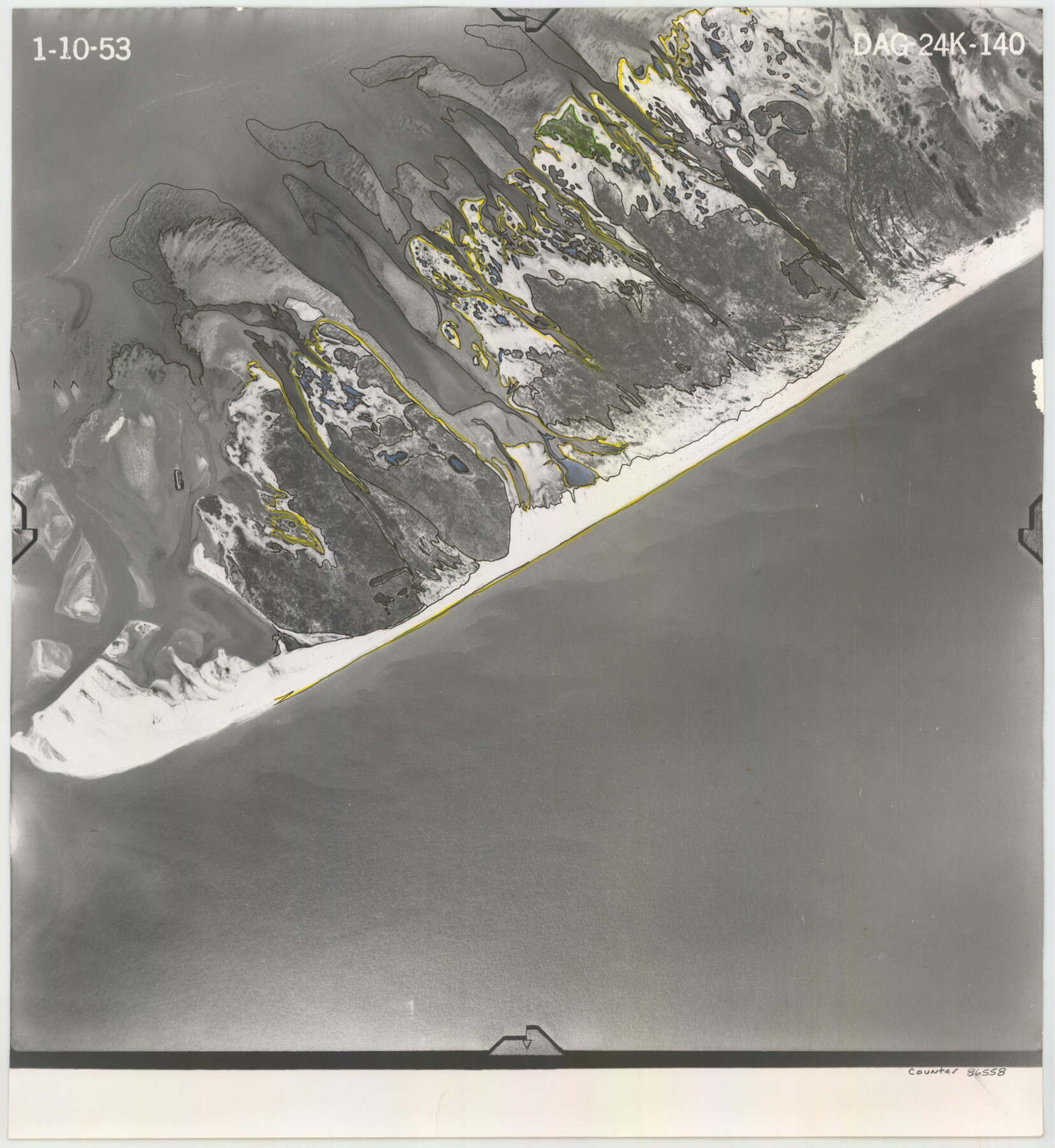
Flight Mission No. DAG-24K, Frame 140, Matagorda County
DAG-24K-140
-
Map/Doc
86558
-
Collection
General Map Collection
-
Object Dates
1953/1/10 (Creation Date)
-
People and Organizations
U. S. Department of Agriculture (Publisher)
-
Counties
Matagorda
-
Subjects
Aerial Photograph
-
Height x Width
17.0 x 15.6 inches
43.2 x 39.6 cm
-
Comments
Flown by Aero Exploration Company of Tulsa, Oklahoma.
Part of: General Map Collection
Hansford County

Print $20.00
- Digital $50.00
Hansford County
1932
Size 38.7 x 38.0 inches
Map/Doc 73169
Maverick County Sketch File 25

Print $20.00
- Digital $50.00
Maverick County Sketch File 25
1914
Size 18.4 x 25.6 inches
Map/Doc 12055
Bexar County Rolled Sketch 16

Print $20.00
- Digital $50.00
Bexar County Rolled Sketch 16
1847
Size 21.1 x 14.8 inches
Map/Doc 5141
Burnet County

Print $20.00
- Digital $50.00
Burnet County
1888
Size 47.0 x 44.5 inches
Map/Doc 42995

Brazoria County

Print $20.00
- Digital $50.00
Brazoria County
1873
Size 26.7 x 26.1 inches
Map/Doc 858
Motley County Sketch File 4 (S)

Print $4.00
- Digital $50.00
Motley County Sketch File 4 (S)
Size 12.9 x 8.4 inches
Map/Doc 32143
Karnes County Sketch File 8

Print $78.00
- Digital $50.00
Karnes County Sketch File 8
1876
Size 12.7 x 8.2 inches
Map/Doc 28565
[Houston & Texas Central Ry.]
![64363, [Houston & Texas Central Ry.], General Map Collection](https://historictexasmaps.com/wmedia_w700/maps/64363.tif.jpg)
Print $20.00
- Digital $50.00
[Houston & Texas Central Ry.]
1939
Size 15.5 x 13.8 inches
Map/Doc 64363
Current Miscellaneous File 81

Print $14.00
- Digital $50.00
Current Miscellaneous File 81
1942
Size 14.2 x 8.9 inches
Map/Doc 74217
Sabine County Working Sketch 4

Print $20.00
- Digital $50.00
Sabine County Working Sketch 4
1913
Size 23.7 x 32.0 inches
Map/Doc 63675
Bee County Sketch File 4a

Print $4.00
- Digital $50.00
Bee County Sketch File 4a
Size 7.1 x 8.5 inches
Map/Doc 14270
You may also like
Chambers County Sketch File 29

Print $20.00
- Digital $50.00
Chambers County Sketch File 29
Size 29.0 x 34.5 inches
Map/Doc 10332
Henderson County Sketch File 5

Print $4.00
- Digital $50.00
Henderson County Sketch File 5
1853
Size 12.9 x 8.2 inches
Map/Doc 26325
Hale County Boundary File 9

Print $68.00
- Digital $50.00
Hale County Boundary File 9
Size 14.2 x 8.8 inches
Map/Doc 54111
Kimble County Working Sketch 38

Print $20.00
- Digital $50.00
Kimble County Working Sketch 38
1946
Size 37.4 x 26.2 inches
Map/Doc 70106
Medina County

Print $40.00
- Digital $50.00
Medina County
1976
Size 52.5 x 43.2 inches
Map/Doc 73237
Brewster County Sketch File S-1

Print $10.00
- Digital $50.00
Brewster County Sketch File S-1
1921
Size 13.3 x 8.8 inches
Map/Doc 15726
Shelby County Working Sketch 13

Print $40.00
- Digital $50.00
Shelby County Working Sketch 13
1946
Size 52.0 x 33.7 inches
Map/Doc 63866
Crane County Rolled Sketch 9

Print $20.00
- Digital $50.00
Crane County Rolled Sketch 9
1930
Size 29.6 x 35.0 inches
Map/Doc 5573
Foard County Rolled Sketch 13

Print $20.00
- Digital $50.00
Foard County Rolled Sketch 13
1958
Size 25.2 x 31.4 inches
Map/Doc 5887
Flight Mission No. DIX-10P, Frame 145, Aransas County

Print $20.00
- Digital $50.00
Flight Mission No. DIX-10P, Frame 145, Aransas County
1956
Size 18.7 x 22.3 inches
Map/Doc 83947
Pecos County Rolled Sketch 154

Print $20.00
- Digital $50.00
Pecos County Rolled Sketch 154
Size 35.9 x 27.0 inches
Map/Doc 7283
Falls County Sketch File 24

Print $4.00
- Digital $50.00
Falls County Sketch File 24
1859
Size 13.1 x 8.2 inches
Map/Doc 22428