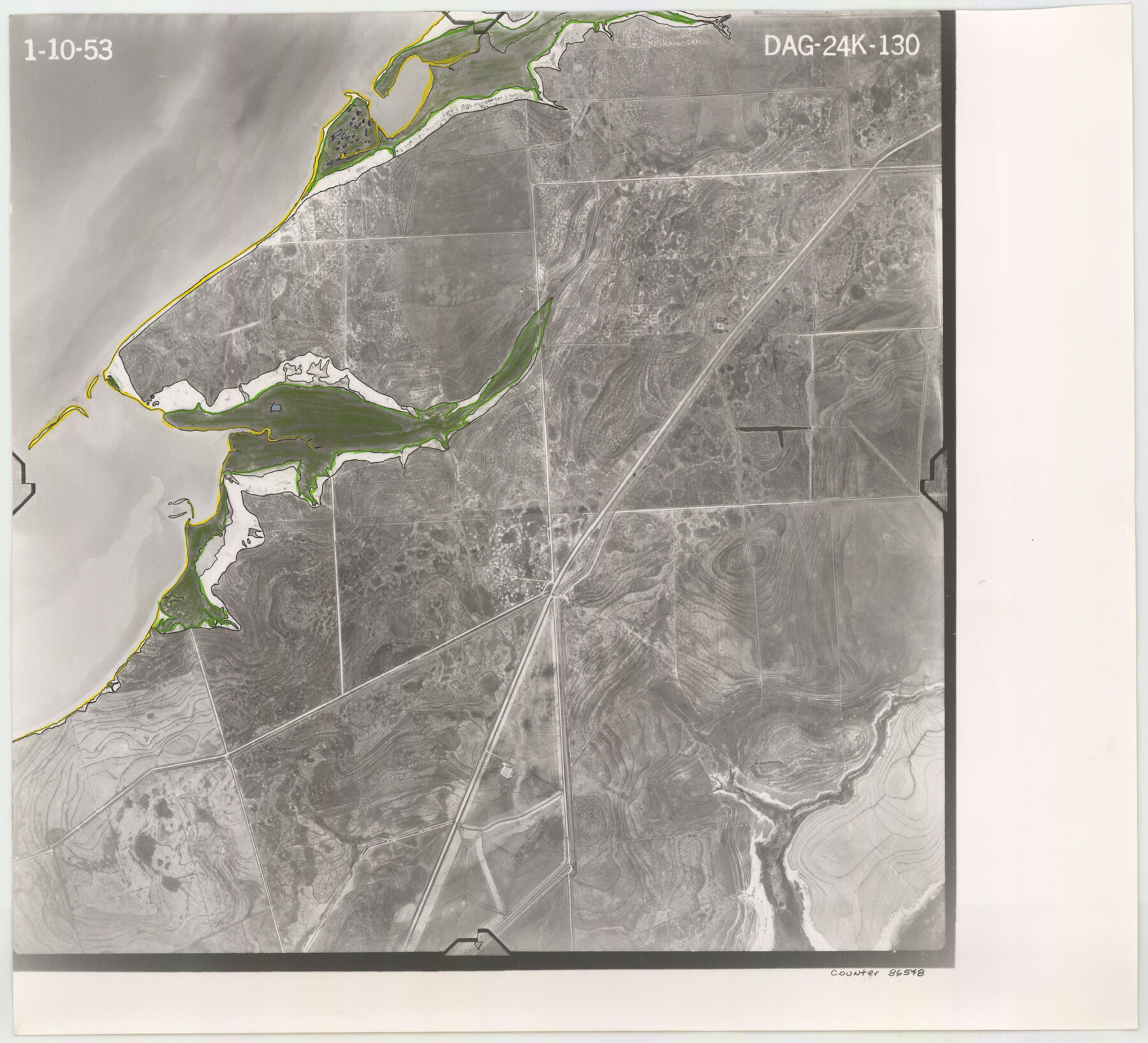
Flight Mission No. DAG-24K, Frame 130, Matagorda County
DAG-24K-130
-
Map/Doc
86548
-
Collection
General Map Collection
-
Object Dates
1953/1/10 (Creation Date)
-
People and Organizations
U. S. Department of Agriculture (Publisher)
-
Counties
Matagorda
-
Subjects
Aerial Photograph
-
Height x Width
17.1 x 18.8 inches
43.4 x 47.8 cm
-
Comments
Flown by Aero Exploration Company of Tulsa, Oklahoma.
Part of: General Map Collection
Die Eisenbahm von dem Missisippi nach dem stillen Ocean (Californien)

Print $20.00
- Digital $50.00
Die Eisenbahm von dem Missisippi nach dem stillen Ocean (Californien)
1856
Size 14.0 x 14.8 inches
Map/Doc 94075
Gaines County Sketch File 11

Print $6.00
- Digital $50.00
Gaines County Sketch File 11
1943
Size 7.3 x 8.9 inches
Map/Doc 23195
Flight Mission No. DIX-8P, Frame 90, Aransas County

Print $20.00
- Digital $50.00
Flight Mission No. DIX-8P, Frame 90, Aransas County
1956
Size 18.6 x 22.4 inches
Map/Doc 83915
Flight Mission No. DAG-24K, Frame 41, Matagorda County

Print $20.00
- Digital $50.00
Flight Mission No. DAG-24K, Frame 41, Matagorda County
1953
Size 18.5 x 22.4 inches
Map/Doc 86528
Mason County Working Sketch 17

Print $20.00
- Digital $50.00
Mason County Working Sketch 17
1983
Size 24.3 x 41.1 inches
Map/Doc 70853
Flight Mission No. BRA-3M, Frame 130, Jefferson County

Print $20.00
- Digital $50.00
Flight Mission No. BRA-3M, Frame 130, Jefferson County
1953
Size 18.6 x 22.3 inches
Map/Doc 85404
Hardin County Sketch File 27

Print $4.00
- Digital $50.00
Hardin County Sketch File 27
Size 13.0 x 8.1 inches
Map/Doc 25151
[Sketch for Mineral Application 35981 - Liberty County, John Mecom]
![65618, [Sketch for Mineral Application 35981 - Liberty County, John Mecom], General Map Collection](https://historictexasmaps.com/wmedia_w700/maps/65618.tif.jpg)
Print $20.00
- Digital $50.00
[Sketch for Mineral Application 35981 - Liberty County, John Mecom]
1941
Size 30.1 x 26.4 inches
Map/Doc 65618
[Surveys near Crabapple Creek in the Bexar District]
![87, [Surveys near Crabapple Creek in the Bexar District], General Map Collection](https://historictexasmaps.com/wmedia_w700/maps/87.tif.jpg)
Print $2.00
- Digital $50.00
[Surveys near Crabapple Creek in the Bexar District]
1846
Size 9.1 x 7.0 inches
Map/Doc 87
Outer Continental Shelf Leasing Maps (Louisiana Offshore Operations)

Print $20.00
- Digital $50.00
Outer Continental Shelf Leasing Maps (Louisiana Offshore Operations)
1955
Size 14.0 x 12.8 inches
Map/Doc 76085
Flight Mission No. BQR-20K, Frame 4, Brazoria County

Print $20.00
- Digital $50.00
Flight Mission No. BQR-20K, Frame 4, Brazoria County
1952
Size 18.8 x 22.4 inches
Map/Doc 84106
Starr County Sketch File D

Print $8.00
- Digital $50.00
Starr County Sketch File D
1892
Size 14.2 x 8.7 inches
Map/Doc 36915
You may also like
Denton County Sketch File 27

Print $4.00
- Digital $50.00
Denton County Sketch File 27
1858
Size 7.9 x 12.1 inches
Map/Doc 20754
Flight Mission No. DAH-17M, Frame 18, Orange County

Print $20.00
- Digital $50.00
Flight Mission No. DAH-17M, Frame 18, Orange County
1953
Size 18.5 x 22.6 inches
Map/Doc 86881
Aransas County NRC Article 33.136 Sketch 15

Print $42.00
- Digital $50.00
Aransas County NRC Article 33.136 Sketch 15
Size 24.0 x 36.0 inches
Map/Doc 95316
Current Miscellaneous File 102

Print $611.00
- Digital $50.00
Current Miscellaneous File 102
Size 11.5 x 7.1 inches
Map/Doc 74379
Palo Pinto County Sketch File 3

Print $20.00
- Digital $50.00
Palo Pinto County Sketch File 3
1850
Size 24.6 x 19.3 inches
Map/Doc 12132
Victoria County Working Sketch 3

Print $20.00
- Digital $50.00
Victoria County Working Sketch 3
1939
Size 14.0 x 18.3 inches
Map/Doc 72273
Survey for H.A. Wroe

Print $20.00
- Digital $50.00
Survey for H.A. Wroe
Size 19.6 x 10.4 inches
Map/Doc 601
Presidio County Working Sketch 99

Print $20.00
- Digital $50.00
Presidio County Working Sketch 99
1979
Size 26.8 x 39.8 inches
Map/Doc 71776
[WWI Topographic Planning Map of the Ardennes]
![94129, [WWI Topographic Planning Map of the Ardennes], Non-GLO Digital Images](https://historictexasmaps.com/wmedia_w700/maps/94129-1.tif.jpg)
Print $20.00
[WWI Topographic Planning Map of the Ardennes]
1918
Size 35.8 x 20.2 inches
Map/Doc 94129
Presidio County Sketch File 42

Print $4.00
- Digital $50.00
Presidio County Sketch File 42
1913
Size 10.2 x 8.2 inches
Map/Doc 34518
Bailey County Sketch File 11a

Print $4.00
- Digital $50.00
Bailey County Sketch File 11a
1912
Size 8.4 x 11.1 inches
Map/Doc 13967
La Salle County Sketch File 29

Print $4.00
- Digital $50.00
La Salle County Sketch File 29
1889
Size 9.0 x 13.6 inches
Map/Doc 29561