![65618, [Sketch for Mineral Application 35981 - Liberty County, John Mecom], General Map Collection](https://historictexasmaps.com/wmedia_w1800h1800/maps/65618.tif.jpg)
[Sketch for Mineral Application 35981 - Liberty County, John Mecom]
Working Sketch in Liberty County, TX
K-1-45
-
Map/Doc
65618
-
Collection
General Map Collection
-
Object Dates
1941 (Creation Date)
-
Counties
Liberty
-
Subjects
Energy Surface
-
Height x Width
30.1 x 26.4 inches
76.5 x 67.1 cm
Part of: General Map Collection
Crockett County Rolled Sketch 52

Print $20.00
- Digital $50.00
Crockett County Rolled Sketch 52
Size 36.7 x 44.7 inches
Map/Doc 8715
Upton County Rolled Sketch 39

Print $40.00
- Digital $50.00
Upton County Rolled Sketch 39
Size 53.4 x 44.1 inches
Map/Doc 10055
Atascosa County Working Sketch 10

Print $20.00
- Digital $50.00
Atascosa County Working Sketch 10
1919
Size 26.2 x 22.3 inches
Map/Doc 67206
Kinney County Sketch File E1

Print $20.00
- Digital $50.00
Kinney County Sketch File E1
1885
Size 29.8 x 31.9 inches
Map/Doc 10619
United States Atlantic and Gulf Coasts Including Puerto Rico and the Virgin Islands

Print $40.00
- Digital $50.00
United States Atlantic and Gulf Coasts Including Puerto Rico and the Virgin Islands
1973
Size 21.9 x 60.6 inches
Map/Doc 76125
Red River County Working Sketch 49

Print $6.00
- Digital $50.00
Red River County Working Sketch 49
1970
Size 31.3 x 21.5 inches
Map/Doc 72032
Hutchinson County Sketch File 25

Print $6.00
- Digital $50.00
Hutchinson County Sketch File 25
1922
Size 11.2 x 8.8 inches
Map/Doc 27258
Culberson County Sketch File 12a

Print $4.00
- Digital $50.00
Culberson County Sketch File 12a
1926
Size 14.3 x 8.8 inches
Map/Doc 20174
Matagorda County Rolled Sketch 12

Print $20.00
- Digital $50.00
Matagorda County Rolled Sketch 12
Size 30.0 x 28.0 inches
Map/Doc 6681
Flight Mission No. DQN-2K, Frame 116, Calhoun County

Print $20.00
- Digital $50.00
Flight Mission No. DQN-2K, Frame 116, Calhoun County
1953
Size 18.6 x 22.3 inches
Map/Doc 84292
Kimble County Sketch File A1

Print $4.00
- Digital $50.00
Kimble County Sketch File A1
Size 8.8 x 13.4 inches
Map/Doc 28961
Harris County NRC Article 33.136 Sketch 12

Print $30.00
- Digital $50.00
Harris County NRC Article 33.136 Sketch 12
2007
Size 24.0 x 17.5 inches
Map/Doc 94627
You may also like
Terrell County Working Sketch 53

Print $20.00
- Digital $50.00
Terrell County Working Sketch 53
Size 13.5 x 17.8 inches
Map/Doc 69802
[Sketch for Mineral Application 15273 - Sabine River Bed]
![65576, [Sketch for Mineral Application 15273 - Sabine River Bed], General Map Collection](https://historictexasmaps.com/wmedia_w700/maps/65576.tif.jpg)
Print $20.00
- Digital $50.00
[Sketch for Mineral Application 15273 - Sabine River Bed]
1926
Size 45.4 x 28.1 inches
Map/Doc 65576
![94191, California [Verso], General Map Collection](https://historictexasmaps.com/wmedia_w700/maps/94191.tif.jpg)
Houston Ship Channel, Alexander Island to Carpenter Bayou

Print $40.00
- Digital $50.00
Houston Ship Channel, Alexander Island to Carpenter Bayou
1992
Size 35.3 x 49.3 inches
Map/Doc 69917
Flight Mission No. DIX-6P, Frame 120, Aransas County

Print $20.00
- Digital $50.00
Flight Mission No. DIX-6P, Frame 120, Aransas County
1956
Size 18.7 x 22.2 inches
Map/Doc 83826
Knox County Sketch File 17

Print $20.00
- Digital $50.00
Knox County Sketch File 17
1902
Size 18.4 x 25.0 inches
Map/Doc 11960
Hemphill County Working Sketch 1

Print $20.00
- Digital $50.00
Hemphill County Working Sketch 1
1926
Size 15.1 x 19.7 inches
Map/Doc 66096
Victoria County Rolled Sketch 6

Print $20.00
- Digital $50.00
Victoria County Rolled Sketch 6
Size 27.9 x 36.3 inches
Map/Doc 8152
General Highway Map, Tom Green County, Texas

Print $20.00
General Highway Map, Tom Green County, Texas
1940
Size 24.9 x 18.3 inches
Map/Doc 79259
Bastrop County Sketch File 7

Print $40.00
- Digital $50.00
Bastrop County Sketch File 7
Size 13.2 x 12.4 inches
Map/Doc 14052
Nueces County Rolled Sketch 3
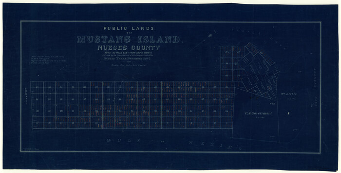
Print $20.00
- Digital $50.00
Nueces County Rolled Sketch 3
1907
Size 17.3 x 34.2 inches
Map/Doc 6866
Presidio County Rolled Sketch 54

Print $20.00
- Digital $50.00
Presidio County Rolled Sketch 54
1913
Size 17.1 x 18.5 inches
Map/Doc 7348