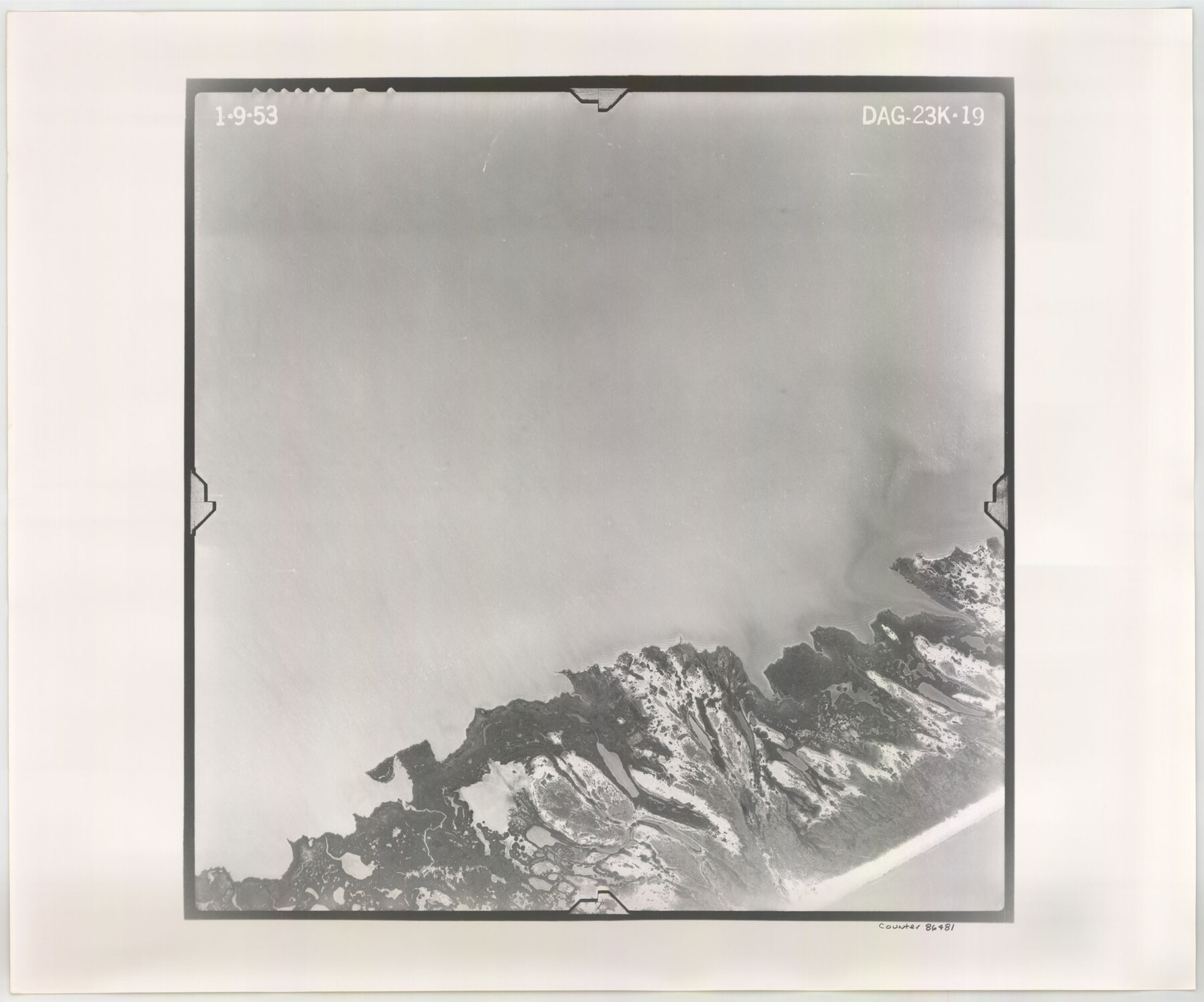
Flight Mission No. DAG-23K, Frame 19, Matagorda County
DAG-23K-19
-
Map/Doc
86481
-
Collection
General Map Collection
-
Object Dates
1953/1/9 (Creation Date)
-
People and Organizations
U. S. Department of Agriculture (Publisher)
-
Counties
Matagorda
-
Subjects
Aerial Photograph
-
Height x Width
18.5 x 22.2 inches
47.0 x 56.4 cm
-
Comments
Flown by Aero Exploration Company of Tulsa, Oklahoma.
Part of: General Map Collection
Borden County Working Sketch 5

Print $20.00
- Digital $50.00
Borden County Working Sketch 5
1944
Size 35.1 x 45.2 inches
Map/Doc 67465
Nueces County Sketch File 10

Print $4.00
- Digital $50.00
Nueces County Sketch File 10
Size 8.2 x 10.1 inches
Map/Doc 32516
Hunt County Sketch File 38

Print $6.00
- Digital $50.00
Hunt County Sketch File 38
Size 11.0 x 10.8 inches
Map/Doc 27157
Haskell County Working Sketch 11

Print $20.00
- Digital $50.00
Haskell County Working Sketch 11
1976
Size 38.0 x 33.4 inches
Map/Doc 66069
Terrell County Working Sketch 46

Print $20.00
- Digital $50.00
Terrell County Working Sketch 46
1958
Size 23.8 x 23.4 inches
Map/Doc 62139
Montague County Sketch File 28

Print $4.00
- Digital $50.00
Montague County Sketch File 28
1963
Size 18.7 x 22.6 inches
Map/Doc 12110
Nueces County Rolled Sketch 125

Print $34.00
Nueces County Rolled Sketch 125
1998
Size 18.1 x 25.0 inches
Map/Doc 7160
Current Miscellaneous File 48

Print $32.00
- Digital $50.00
Current Miscellaneous File 48
Size 11.2 x 8.7 inches
Map/Doc 73996
Real County Rolled Sketch 11

Print $20.00
- Digital $50.00
Real County Rolled Sketch 11
Size 31.4 x 36.5 inches
Map/Doc 7458
Harris County Working Sketch 111

Print $20.00
- Digital $50.00
Harris County Working Sketch 111
1982
Size 21.7 x 16.0 inches
Map/Doc 66003
McLennan County Sketch File 15

Print $4.00
- Digital $50.00
McLennan County Sketch File 15
1872
Size 8.2 x 11.3 inches
Map/Doc 31274
San Patricio County Rolled Sketch 38A

Print $20.00
- Digital $50.00
San Patricio County Rolled Sketch 38A
1958
Size 26.6 x 23.5 inches
Map/Doc 7589
You may also like
Baylor County Sketch File 20

Print $8.00
- Digital $50.00
Baylor County Sketch File 20
1887
Size 12.9 x 8.2 inches
Map/Doc 14195
University Land Field Note Volume Index

University Land Field Note Volume Index
2023
Size 8.5 x 11.0 inches
Map/Doc 97177
Matagorda County NRC Article 33.136 Sketch 5

Print $28.00
- Digital $50.00
Matagorda County NRC Article 33.136 Sketch 5
2009
Size 24.2 x 35.0 inches
Map/Doc 95006
[G. H. & H. Block 2]
![90714, [G. H. & H. Block 2], Twichell Survey Records](https://historictexasmaps.com/wmedia_w700/maps/90714-1.tif.jpg)
Print $20.00
- Digital $50.00
[G. H. & H. Block 2]
Size 24.1 x 18.5 inches
Map/Doc 90714
Swisher County Sketch File 6

Print $20.00
- Digital $50.00
Swisher County Sketch File 6
Size 15.4 x 12.1 inches
Map/Doc 12404
[Canadian River North]
![91826, [Canadian River North], Twichell Survey Records](https://historictexasmaps.com/wmedia_w700/maps/91826-1.tif.jpg)
Print $3.00
- Digital $50.00
[Canadian River North]
Size 17.9 x 11.7 inches
Map/Doc 91826
Ellwood Farms, Situated in Lamb County, Texas

Print $20.00
- Digital $50.00
Ellwood Farms, Situated in Lamb County, Texas
Size 12.7 x 23.1 inches
Map/Doc 90994
Presidio County Sketch File 63

Print $4.00
- Digital $50.00
Presidio County Sketch File 63
1939
Size 20.7 x 22.3 inches
Map/Doc 11718
[Surveying sketch of Jones County showing Micaela Fiagoso survey]
![387, [Surveying sketch of Jones County showing Micaela Fiagoso survey], Maddox Collection](https://historictexasmaps.com/wmedia_w700/maps/0387-1.tif.jpg)
Print $20.00
- Digital $50.00
[Surveying sketch of Jones County showing Micaela Fiagoso survey]
Size 19.5 x 16.8 inches
Map/Doc 387
Flight Mission No. DAG-17K, Frame 137, Matagorda County

Print $20.00
- Digital $50.00
Flight Mission No. DAG-17K, Frame 137, Matagorda County
1952
Size 16.5 x 16.2 inches
Map/Doc 86354
Travis County Rolled Sketch 7

Print $20.00
- Digital $50.00
Travis County Rolled Sketch 7
Size 17.4 x 37.0 inches
Map/Doc 8012
Plat showing survey of tracts in the C. A. West survey A-337 and the Wm. Standiferd survey A-301 in Bastrop County as surveyed for the Veteran's Land Board

Print $20.00
- Digital $50.00
Plat showing survey of tracts in the C. A. West survey A-337 and the Wm. Standiferd survey A-301 in Bastrop County as surveyed for the Veteran's Land Board
1992
Size 34.9 x 46.8 inches
Map/Doc 61151