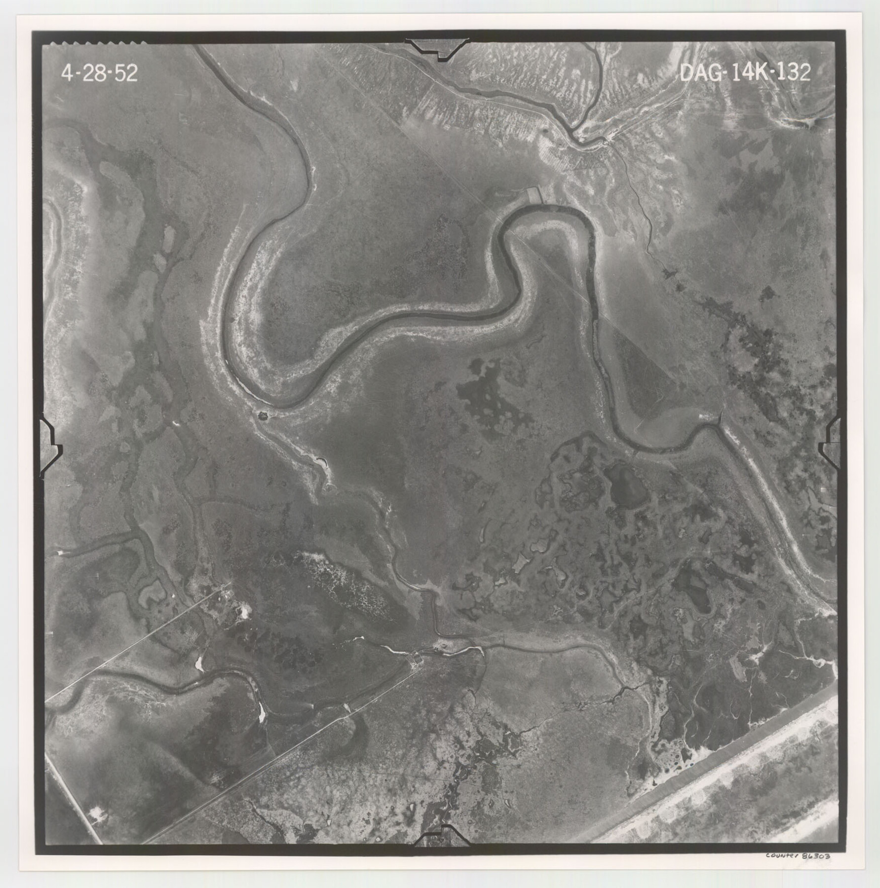
Flight Mission No. DAG-14K, Frame 132, Matagorda County
DAG-14K-132
-
Map/Doc
86303
-
Collection
General Map Collection
-
Object Dates
1952/4/28 (Creation Date)
-
People and Organizations
U. S. Department of Agriculture (Publisher)
-
Counties
Matagorda
-
Subjects
Aerial Photograph
-
Height x Width
17.6 x 17.5 inches
44.7 x 44.5 cm
-
Comments
Flown by Aero Exploration Company of Tulsa, Oklahoma.
Part of: General Map Collection
Wharton County Sketch File 9

Print $4.00
- Digital $50.00
Wharton County Sketch File 9
1884
Size 9.1 x 11.7 inches
Map/Doc 39929
Atascosa County Sketch File A

Print $40.00
- Digital $50.00
Atascosa County Sketch File A
Size 16.3 x 15.6 inches
Map/Doc 10869
Pecos County Working Sketch 53

Print $20.00
- Digital $50.00
Pecos County Working Sketch 53
1948
Size 37.6 x 25.8 inches
Map/Doc 71525
Henderson County Sketch File 8a

Print $18.00
- Digital $50.00
Henderson County Sketch File 8a
1861
Size 10.3 x 8.4 inches
Map/Doc 26334
Bowie County Rolled Sketch 6A

Print $20.00
- Digital $50.00
Bowie County Rolled Sketch 6A
1992
Size 11.3 x 17.8 inches
Map/Doc 5162
Lynn County Sketch File A1

Print $12.00
- Digital $50.00
Lynn County Sketch File A1
1903
Size 12.7 x 8.2 inches
Map/Doc 30464
La Salle County Rolled Sketch 13

Print $20.00
- Digital $50.00
La Salle County Rolled Sketch 13
1948
Size 28.7 x 34.2 inches
Map/Doc 6576
Webb County Working Sketch 56

Print $20.00
- Digital $50.00
Webb County Working Sketch 56
1958
Size 22.9 x 32.0 inches
Map/Doc 72422
Brewster County Rolled Sketch 111

Print $20.00
- Digital $50.00
Brewster County Rolled Sketch 111
1962
Size 32.2 x 44.7 inches
Map/Doc 8512
Donley County Working Sketch 6

Print $20.00
- Digital $50.00
Donley County Working Sketch 6
1965
Size 34.3 x 42.2 inches
Map/Doc 68739
Parker County Sketch File 31

Print $6.00
- Digital $50.00
Parker County Sketch File 31
1877
Size 9.9 x 9.8 inches
Map/Doc 33572
Real County Working Sketch 87

Print $20.00
- Digital $50.00
Real County Working Sketch 87
1988
Size 30.9 x 29.6 inches
Map/Doc 71979
You may also like
McLennan County Boundary File 6

Print $16.00
- Digital $50.00
McLennan County Boundary File 6
Size 11.1 x 8.6 inches
Map/Doc 56997
Flight Mission No. BQR-16K, Frame 36, Brazoria County

Print $20.00
- Digital $50.00
Flight Mission No. BQR-16K, Frame 36, Brazoria County
1952
Size 18.4 x 22.2 inches
Map/Doc 84103
Hemphill County Working Sketch 15

Print $20.00
- Digital $50.00
Hemphill County Working Sketch 15
1969
Size 20.2 x 20.0 inches
Map/Doc 66110
Irion County Sketch File 8

Print $6.00
- Digital $50.00
Irion County Sketch File 8
Size 14.5 x 9.8 inches
Map/Doc 27473
Flight Mission No. CRC-4R, Frame 70, Chambers County

Print $20.00
- Digital $50.00
Flight Mission No. CRC-4R, Frame 70, Chambers County
1956
Size 18.7 x 22.4 inches
Map/Doc 84874
Sherman County Rolled Sketch 12

Print $40.00
- Digital $50.00
Sherman County Rolled Sketch 12
1951
Size 63.9 x 11.3 inches
Map/Doc 10611

Brewster County Sketch File 16

Print $46.00
- Digital $50.00
Brewster County Sketch File 16
1936
Size 14.3 x 8.6 inches
Map/Doc 15777
Castro County

Print $20.00
- Digital $50.00
Castro County
1932
Size 43.4 x 38.6 inches
Map/Doc 73102
Morris County Rolled Sketch 2A

Print $20.00
- Digital $50.00
Morris County Rolled Sketch 2A
Size 36.0 x 25.0 inches
Map/Doc 10236
Hamilton County Working Sketch 12

Print $20.00
- Digital $50.00
Hamilton County Working Sketch 12
1949
Size 43.9 x 41.7 inches
Map/Doc 63350
Crockett County Working Sketch 40

Print $20.00
- Digital $50.00
Crockett County Working Sketch 40
1928
Size 29.5 x 23.7 inches
Map/Doc 68373