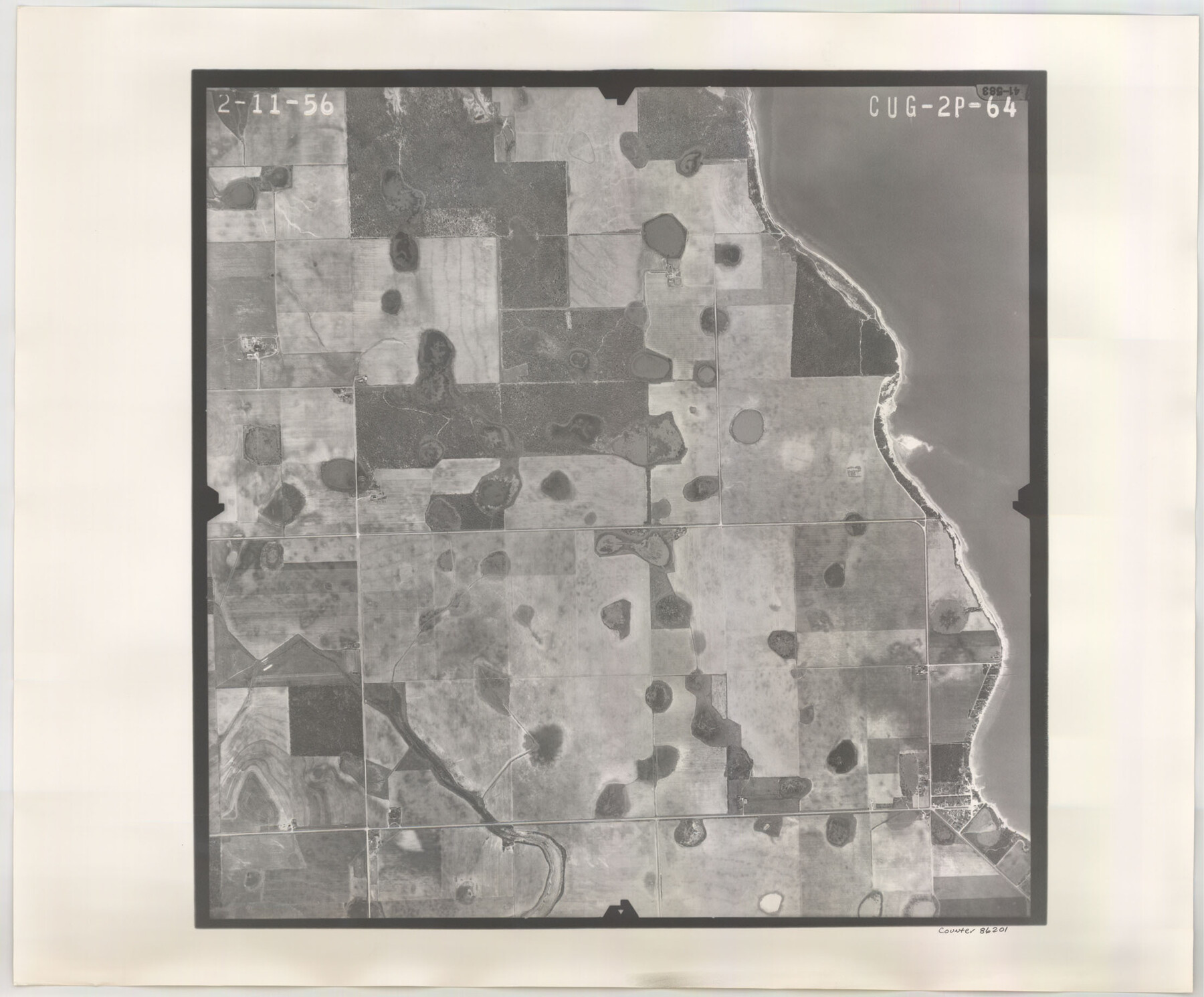
Flight Mission No. CUG-2P, Frame 64, Kleberg County
CUG-2P-64
-
Map/Doc
86201
-
Collection
General Map Collection
-
Object Dates
1956/2/11 (Creation Date)
-
People and Organizations
U. S. Department of Agriculture (Publisher)
-
Counties
Kleberg
-
Subjects
Aerial Photograph
-
Height x Width
18.4 x 22.2 inches
46.7 x 56.4 cm
-
Comments
Flown by V. L. Beavers and Associates of San Antonio, Texas.
Part of: General Map Collection
Real County Working Sketch 65

Print $20.00
- Digital $50.00
Real County Working Sketch 65
1969
Size 31.1 x 23.4 inches
Map/Doc 71957
Donley County Sketch File 12

Print $2.00
- Digital $50.00
Donley County Sketch File 12
Size 12.9 x 8.2 inches
Map/Doc 21248
Terrell County Rolled Sketch 37

Print $20.00
- Digital $50.00
Terrell County Rolled Sketch 37
1940
Size 23.8 x 33.3 inches
Map/Doc 7941
[Sketch for Mineral Application 24072, San Jacinto River]
![65585, [Sketch for Mineral Application 24072, San Jacinto River], General Map Collection](https://historictexasmaps.com/wmedia_w700/maps/65585.tif.jpg)
Print $20.00
- Digital $50.00
[Sketch for Mineral Application 24072, San Jacinto River]
1929
Size 21.7 x 11.1 inches
Map/Doc 65585

Atascosa County Working Sketch 21

Print $20.00
- Digital $50.00
Atascosa County Working Sketch 21
1954
Size 26.0 x 22.4 inches
Map/Doc 67217
Collin County Boundary File 18c

Print $12.00
- Digital $50.00
Collin County Boundary File 18c
Size 12.9 x 8.1 inches
Map/Doc 51733
Archer County Working Sketch 20

Print $20.00
- Digital $50.00
Archer County Working Sketch 20
1975
Size 31.7 x 24.4 inches
Map/Doc 67161
Irion County Sketch File 16

Print $8.00
- Digital $50.00
Irion County Sketch File 16
1952
Size 11.1 x 8.7 inches
Map/Doc 27490
Cameron County Rolled Sketch 10A

Print $71.00
- Digital $50.00
Cameron County Rolled Sketch 10A
Size 11.1 x 8.7 inches
Map/Doc 41749
Bastrop County Rolled Sketch 1A

Print $20.00
- Digital $50.00
Bastrop County Rolled Sketch 1A
Size 37.0 x 24.5 inches
Map/Doc 5122
Copy of a portion of Arista's map

Print $20.00
- Digital $50.00
Copy of a portion of Arista's map
1847
Size 27.5 x 18.3 inches
Map/Doc 73057
You may also like
Sketch showing the Chas. M. Roberts 53 1/2 acres about 16 miles N of Houston, east of I.&G.N. R.R.

Print $2.00
- Digital $50.00
Sketch showing the Chas. M. Roberts 53 1/2 acres about 16 miles N of Houston, east of I.&G.N. R.R.
Size 8.0 x 5.9 inches
Map/Doc 374
Flight Mission No. CRK-5P, Frame 124, Refugio County

Print $20.00
- Digital $50.00
Flight Mission No. CRK-5P, Frame 124, Refugio County
1956
Size 18.7 x 22.5 inches
Map/Doc 86927
Travis County Working Sketch 24

Print $20.00
- Digital $50.00
Travis County Working Sketch 24
1948
Size 25.6 x 23.1 inches
Map/Doc 69408
Stonewall County

Print $40.00
- Digital $50.00
Stonewall County
1933
Size 48.0 x 39.4 inches
Map/Doc 95646
Liberty County Sketch File 28

Print $6.00
- Digital $50.00
Liberty County Sketch File 28
Size 5.2 x 8.0 inches
Map/Doc 29952
Culberson County Sketch [showing PSL Blocks 109-111, 113-115 and University Block 46]
![90500, Culberson County Sketch [showing PSL Blocks 109-111, 113-115 and University Block 46], Twichell Survey Records](https://historictexasmaps.com/wmedia_w700/maps/90500-1.tif.jpg)
Print $20.00
- Digital $50.00
Culberson County Sketch [showing PSL Blocks 109-111, 113-115 and University Block 46]
Size 25.8 x 12.7 inches
Map/Doc 90500
Ennis, Ellis County, Texas

Print $20.00
- Digital $50.00
Ennis, Ellis County, Texas
1934
Size 34.6 x 22.9 inches
Map/Doc 4826
Flight Mission No. CZW-3R, Frame 82

Print $20.00
- Digital $50.00
Flight Mission No. CZW-3R, Frame 82
1956
Size 18.6 x 22.3 inches
Map/Doc 85240
The Republic County of Fort Bend. Created, December 29, 1837

Print $20.00
The Republic County of Fort Bend. Created, December 29, 1837
2020
Size 14.7 x 21.6 inches
Map/Doc 96137
Pecos County Working Sketch 129

Print $20.00
- Digital $50.00
Pecos County Working Sketch 129
1976
Map/Doc 71603
Working Sketch in Cottle, Foard & Hardeman Counties

Print $20.00
- Digital $50.00
Working Sketch in Cottle, Foard & Hardeman Counties
1917
Size 26.9 x 28.0 inches
Map/Doc 4485
El Paso County Boundary File 4b

Print $24.00
- Digital $50.00
El Paso County Boundary File 4b
Size 12.3 x 9.0 inches
Map/Doc 53066