Culberson County Sketch [showing PSL Blocks 109-111, 113-115 and University Block 46]
55-3
-
Map/Doc
90500
-
Collection
Twichell Survey Records
-
People and Organizations
Sylvan Sanders (Surveyor/Engineer)
-
Counties
Culberson
-
Height x Width
25.8 x 12.7 inches
65.5 x 32.3 cm
Part of: Twichell Survey Records
[Subdivision of Blk. M]
![90406, [Subdivision of Blk. M], Twichell Survey Records](https://historictexasmaps.com/wmedia_w700/maps/90406-1.tif.jpg)
![90406, [Subdivision of Blk. M], Twichell Survey Records](https://historictexasmaps.com/wmedia_w700/maps/90406-1.tif.jpg)
Print $20.00
- Digital $50.00
[Subdivision of Blk. M]
Size 17.7 x 24.6 inches
Map/Doc 90406
[Working Sketch Showing Southwest Part of the County]
![91117, [Working Sketch Showing Southwest Part of the County], Twichell Survey Records](https://historictexasmaps.com/wmedia_w700/maps/91117-1.tif.jpg)
![91117, [Working Sketch Showing Southwest Part of the County], Twichell Survey Records](https://historictexasmaps.com/wmedia_w700/maps/91117-1.tif.jpg)
Print $2.00
- Digital $50.00
[Working Sketch Showing Southwest Part of the County]
1886
Size 14.9 x 9.0 inches
Map/Doc 91117
Mrs. Minnie Slaughter Veal's Subdivision of C. C. Slaughter Cattle Co. Division, Cochran County, Texas


Print $20.00
- Digital $50.00
Mrs. Minnie Slaughter Veal's Subdivision of C. C. Slaughter Cattle Co. Division, Cochran County, Texas
Size 26.6 x 20.5 inches
Map/Doc 90296
Working Sketch in Stephens County
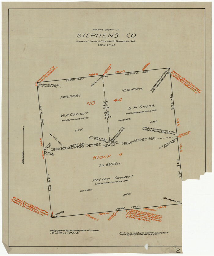

Print $20.00
- Digital $50.00
Working Sketch in Stephens County
1919
Size 15.4 x 18.6 inches
Map/Doc 91912
Nora Jane Wilson Lease
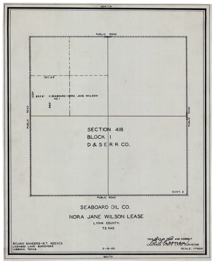

Print $20.00
- Digital $50.00
Nora Jane Wilson Lease
1952
Size 12.5 x 15.0 inches
Map/Doc 92962
[Sketch Showing Connections Between Blocks X, RG, and A]
![91375, [Sketch Showing Connections Between Blocks X, RG, and A], Twichell Survey Records](https://historictexasmaps.com/wmedia_w700/maps/91375-1.tif.jpg)
![91375, [Sketch Showing Connections Between Blocks X, RG, and A], Twichell Survey Records](https://historictexasmaps.com/wmedia_w700/maps/91375-1.tif.jpg)
Print $20.00
- Digital $50.00
[Sketch Showing Connections Between Blocks X, RG, and A]
Size 17.5 x 26.0 inches
Map/Doc 91375
[Blocks C22, C23, C24, 77, B3, B5, 26, 27, 74, 75]
![91973, [Blocks C22, C23, C24, 77, B3, B5, 26, 27, 74, 75], Twichell Survey Records](https://historictexasmaps.com/wmedia_w700/maps/91973-1.tif.jpg)
![91973, [Blocks C22, C23, C24, 77, B3, B5, 26, 27, 74, 75], Twichell Survey Records](https://historictexasmaps.com/wmedia_w700/maps/91973-1.tif.jpg)
Print $20.00
- Digital $50.00
[Blocks C22, C23, C24, 77, B3, B5, 26, 27, 74, 75]
Size 21.9 x 16.9 inches
Map/Doc 91973
[County School Land Leagues]
![90280, [County School Land Leagues], Twichell Survey Records](https://historictexasmaps.com/wmedia_w700/maps/90280-1.tif.jpg)
![90280, [County School Land Leagues], Twichell Survey Records](https://historictexasmaps.com/wmedia_w700/maps/90280-1.tif.jpg)
Print $20.00
- Digital $50.00
[County School Land Leagues]
1913
Size 21.2 x 25.4 inches
Map/Doc 90280
Oldham County


Print $20.00
- Digital $50.00
Oldham County
1888
Size 19.8 x 16.5 inches
Map/Doc 93019
[G. H. & H. Block 2]
![91894, [G. H. & H. Block 2], Twichell Survey Records](https://historictexasmaps.com/wmedia_w700/maps/91894-1.tif.jpg)
![91894, [G. H. & H. Block 2], Twichell Survey Records](https://historictexasmaps.com/wmedia_w700/maps/91894-1.tif.jpg)
Print $20.00
- Digital $50.00
[G. H. & H. Block 2]
Size 20.6 x 18.4 inches
Map/Doc 91894
You may also like
Webb County Rolled Sketch 72
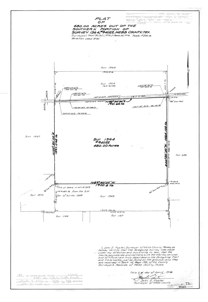

Print $20.00
- Digital $50.00
Webb County Rolled Sketch 72
1976
Size 25.5 x 17.5 inches
Map/Doc 8220
No. 1 - Survey for a road from the Brazo Santiago to the Rio Grande
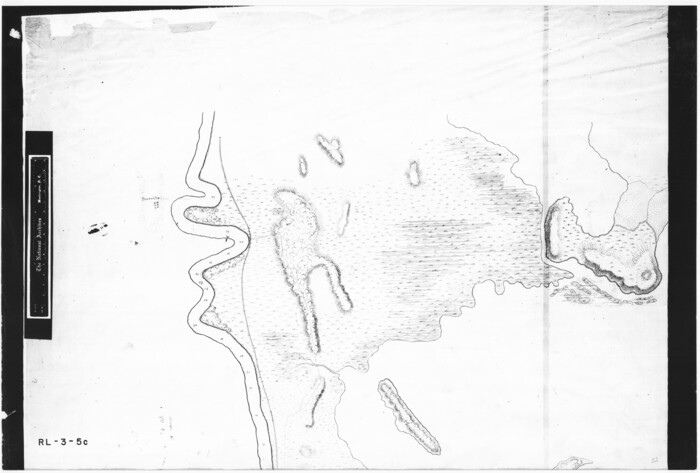

Print $20.00
- Digital $50.00
No. 1 - Survey for a road from the Brazo Santiago to the Rio Grande
1847
Size 18.3 x 27.0 inches
Map/Doc 72873
Kaufman County Sketch File 11
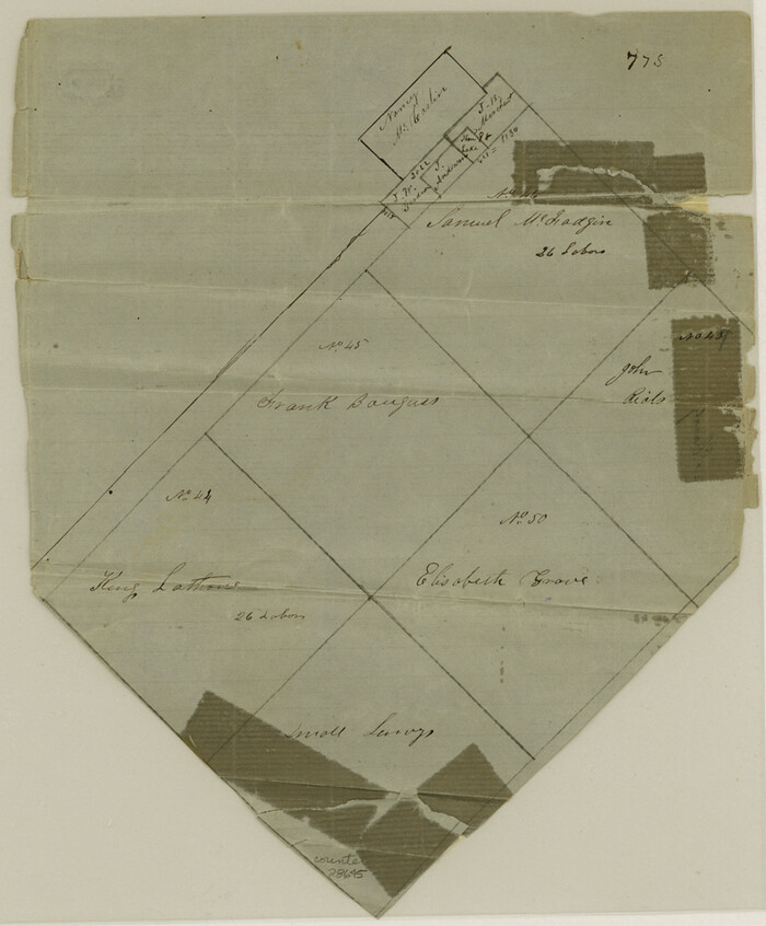

Print $4.00
- Digital $50.00
Kaufman County Sketch File 11
1874
Size 10.2 x 8.4 inches
Map/Doc 28645
Refugio County Boundary File 1

Print $6.00
- Digital $50.00
Refugio County Boundary File 1
Size 8.1 x 3.4 inches
Map/Doc 58225
Hartley County


Print $40.00
- Digital $50.00
Hartley County
1902
Size 44.5 x 58.0 inches
Map/Doc 2480
Reeves County Rolled Sketch 34
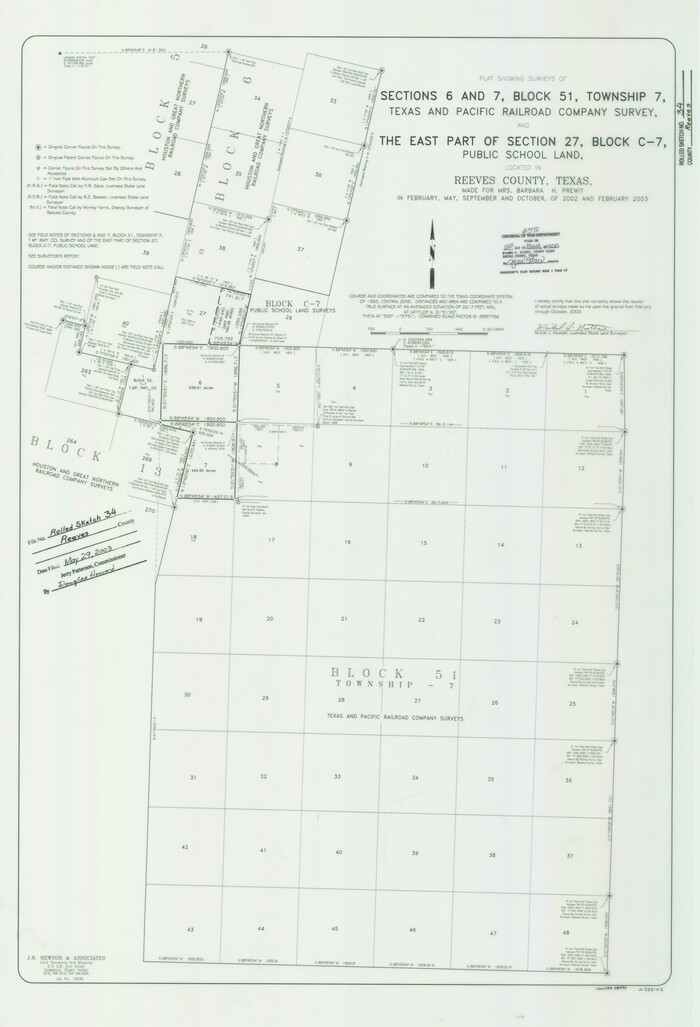

Print $20.00
- Digital $50.00
Reeves County Rolled Sketch 34
Size 35.4 x 24.1 inches
Map/Doc 78490
McMullen County Working Sketch 39
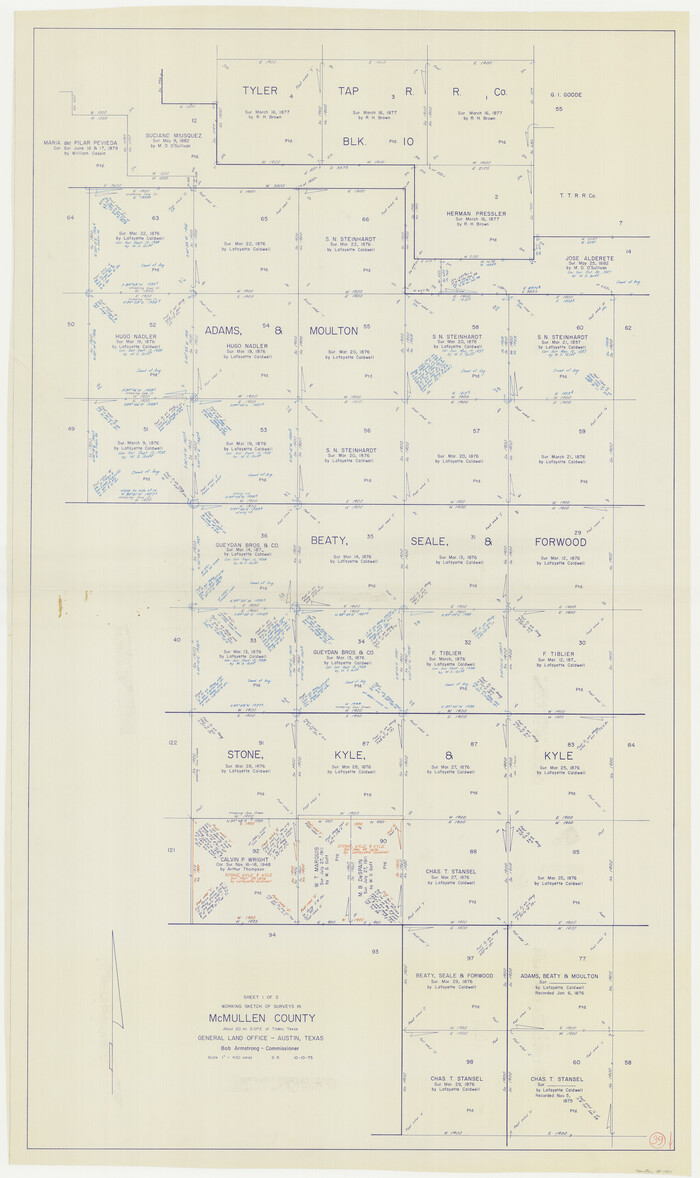

Print $40.00
- Digital $50.00
McMullen County Working Sketch 39
1975
Size 53.3 x 31.7 inches
Map/Doc 70740
Arthur E. Miller Irrigated Farm West Half Section 19, Block D6


Print $20.00
- Digital $50.00
Arthur E. Miller Irrigated Farm West Half Section 19, Block D6
Size 11.9 x 21.8 inches
Map/Doc 92317
North Part of El Paso Co.
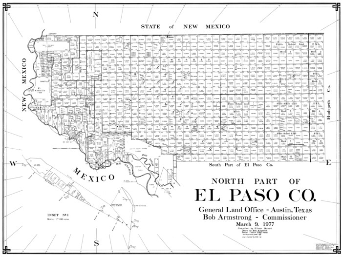

Print $20.00
- Digital $50.00
North Part of El Paso Co.
1977
Size 30.5 x 40.5 inches
Map/Doc 77273
Concho County Working Sketch 7
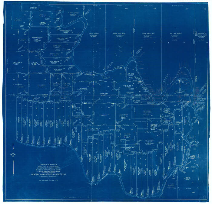

Print $20.00
- Digital $50.00
Concho County Working Sketch 7
1948
Size 44.3 x 46.0 inches
Map/Doc 68189
Walker County Working Sketch 1
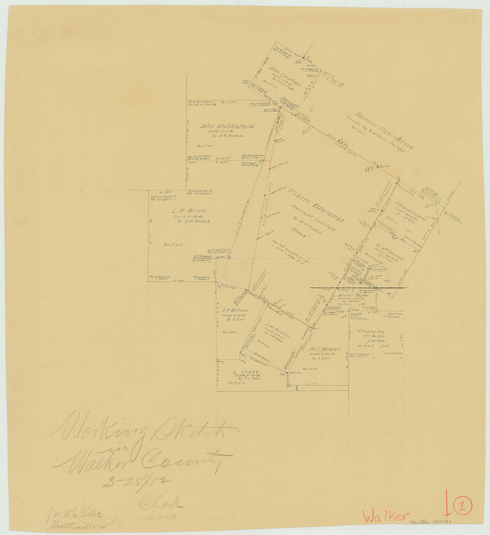

Print $20.00
- Digital $50.00
Walker County Working Sketch 1
1912
Size 20.1 x 18.4 inches
Map/Doc 72281
Cooke County Working Sketch 2


Print $20.00
- Digital $50.00
Cooke County Working Sketch 2
1925
Size 22.2 x 10.9 inches
Map/Doc 68239
![90500, Culberson County Sketch [showing PSL Blocks 109-111, 113-115 and University Block 46], Twichell Survey Records](https://historictexasmaps.com/wmedia_w1800h1800/maps/90500-1.tif.jpg)
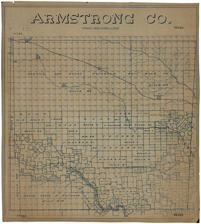
![91463, [Block B7], Twichell Survey Records](https://historictexasmaps.com/wmedia_w700/maps/91463-1.tif.jpg)