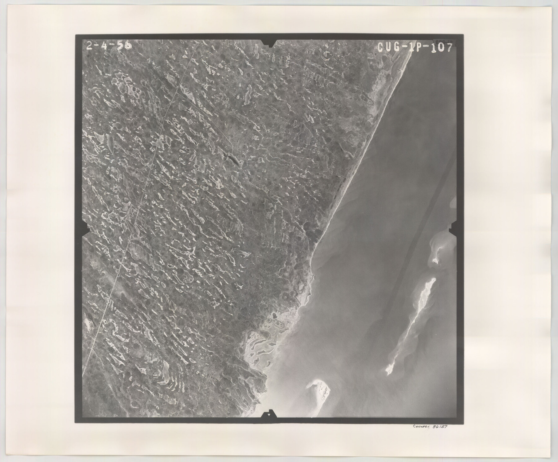
Flight Mission No. CUG-1P, Frame 107, Kleberg County
CUG-1P-107
-
Map/Doc
86157
-
Collection
General Map Collection
-
Object Dates
1956/2/4 (Creation Date)
-
People and Organizations
U. S. Department of Agriculture (Publisher)
-
Counties
Kleberg
-
Subjects
Aerial Photograph
-
Height x Width
18.5 x 22.3 inches
47.0 x 56.6 cm
-
Comments
Flown by V. L. Beavers and Associates of San Antonio, Texas.
Part of: General Map Collection
Current Miscellaneous File 29

Print $10.00
- Digital $50.00
Current Miscellaneous File 29
Size 11.2 x 8.8 inches
Map/Doc 73920
McMullen County Working Sketch 11

Print $20.00
- Digital $50.00
McMullen County Working Sketch 11
1938
Size 26.8 x 31.6 inches
Map/Doc 70712
Foard County Boundary File 5

Print $20.00
- Digital $50.00
Foard County Boundary File 5
Size 10.3 x 8.8 inches
Map/Doc 53536
Harris County Sketch File 62

Print $14.00
- Digital $50.00
Harris County Sketch File 62
1930
Size 11.4 x 8.7 inches
Map/Doc 25486

Armstrong County

Print $20.00
- Digital $50.00
Armstrong County
1933
Size 43.2 x 41.2 inches
Map/Doc 95420

Jeff Davis County Rolled Sketch 22

Print $399.00
- Digital $50.00
Jeff Davis County Rolled Sketch 22
Size 17.2 x 15.8 inches
Map/Doc 6487
Fifteenth Census 1930 Population - Texas

Print $20.00
- Digital $50.00
Fifteenth Census 1930 Population - Texas
1930
Size 19.5 x 22.6 inches
Map/Doc 2146
Hays County Working Sketch 20

Print $40.00
- Digital $50.00
Hays County Working Sketch 20
1980
Size 42.9 x 65.6 inches
Map/Doc 66094
Edwards County Working Sketch 47

Print $20.00
- Digital $50.00
Edwards County Working Sketch 47
1950
Size 37.9 x 24.1 inches
Map/Doc 68923
Sketch showing surveys on Harbor Island in Nueces County

Print $20.00
- Digital $50.00
Sketch showing surveys on Harbor Island in Nueces County
1978
Size 46.4 x 36.0 inches
Map/Doc 2020
You may also like
Haskell County

Print $20.00
- Digital $50.00
Haskell County
1933
Size 45.8 x 39.4 inches
Map/Doc 1852
Red River County Sketch File 18

Print $2.00
- Digital $50.00
Red River County Sketch File 18
Size 5.5 x 7.9 inches
Map/Doc 35149
Kerr County Working Sketch 34

Print $40.00
- Digital $50.00
Kerr County Working Sketch 34
1980
Size 51.6 x 38.9 inches
Map/Doc 70065
Castro County Sketch File 4j

Print $4.00
- Digital $50.00
Castro County Sketch File 4j
Size 13.5 x 8.7 inches
Map/Doc 17483
Aransas County Rolled Sketch 15

Print $20.00
- Digital $50.00
Aransas County Rolled Sketch 15
1889
Size 39.3 x 38.0 inches
Map/Doc 78223
Starr County Sketch File 50

Print $40.00
- Digital $50.00
Starr County Sketch File 50
1963
Size 12.4 x 15.5 inches
Map/Doc 37007
Franklin County Working Sketch 4

Print $20.00
- Digital $50.00
Franklin County Working Sketch 4
1999
Size 19.2 x 16.6 inches
Map/Doc 69242
Upton County Rolled Sketch 47

Print $20.00
- Digital $50.00
Upton County Rolled Sketch 47
1937
Size 22.6 x 35.3 inches
Map/Doc 8083
Briscoe County Sketch File 4

Print $40.00
- Digital $50.00
Briscoe County Sketch File 4
Size 26.0 x 33.5 inches
Map/Doc 10993

Anderson County Boundary File 3

Print $9.00
- Digital $50.00
Anderson County Boundary File 3
Size 14.3 x 8.8 inches
Map/Doc 49733
Jones County Sketch File 1

Print $20.00
- Digital $50.00
Jones County Sketch File 1
1857
Size 17.8 x 30.3 inches
Map/Doc 11894