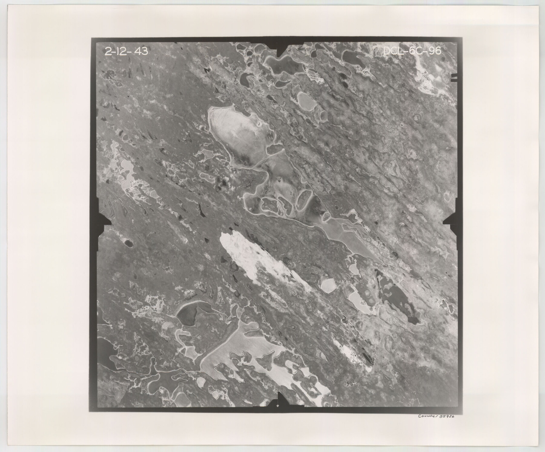
Flight Mission No. DCL-6C, Frame 96, Kenedy County
DCL-6C-96
-
Map/Doc
85926
-
Collection
General Map Collection
-
Object Dates
1943/2/12 (Creation Date)
-
People and Organizations
U. S. Department of Agriculture (Publisher)
-
Counties
Kenedy
-
Subjects
Aerial Photograph
-
Height x Width
18.6 x 22.4 inches
47.2 x 56.9 cm
-
Comments
Flown by Aerial Surveys of Pittsburgh, Inc. of Pittsburgh, Pennsylvania.
Part of: General Map Collection
Travis County Working Sketch 15

Print $20.00
- Digital $50.00
Travis County Working Sketch 15
1939
Size 16.1 x 19.7 inches
Map/Doc 69399
Sabine Pass and Lake

Print $20.00
- Digital $50.00
Sabine Pass and Lake
1961
Size 46.7 x 28.1 inches
Map/Doc 69824
Hopkins County Sketch File 27

Print $6.00
- Digital $50.00
Hopkins County Sketch File 27
1873
Size 16.6 x 11.0 inches
Map/Doc 26738
Hays County Working Sketch 3

Print $20.00
- Digital $50.00
Hays County Working Sketch 3
1925
Size 28.2 x 24.1 inches
Map/Doc 66077
Terry County Sketch File 19

Print $6.00
- Digital $50.00
Terry County Sketch File 19
1998
Size 11.2 x 8.9 inches
Map/Doc 38047
Harris County Working Sketch Graphic Index, Sheet 2 (Sketches 69 to Most Recent)

Print $20.00
- Digital $50.00
Harris County Working Sketch Graphic Index, Sheet 2 (Sketches 69 to Most Recent)
1940
Size 38.5 x 46.2 inches
Map/Doc 76569
Flight Mission No. BQR-9K, Frame 50, Brazoria County

Print $20.00
- Digital $50.00
Flight Mission No. BQR-9K, Frame 50, Brazoria County
1952
Size 18.7 x 22.4 inches
Map/Doc 84054
Bandera County Rolled Sketch 11

Print $20.00
- Digital $50.00
Bandera County Rolled Sketch 11
Size 30.8 x 41.1 inches
Map/Doc 77503
Gregg County Rolled Sketch 21

Print $20.00
- Digital $50.00
Gregg County Rolled Sketch 21
1957
Size 34.4 x 40.4 inches
Map/Doc 10650
Dallam County Sketch File 11

Print $4.00
- Digital $50.00
Dallam County Sketch File 11
1935
Size 11.8 x 7.2 inches
Map/Doc 20377
Grimes County Working Sketch 5

Print $40.00
- Digital $50.00
Grimes County Working Sketch 5
1949
Size 43.6 x 83.2 inches
Map/Doc 63296
Current Miscellaneous File 24

Print $26.00
- Digital $50.00
Current Miscellaneous File 24
1953
Size 10.6 x 8.2 inches
Map/Doc 73883
You may also like
Hidalgo County Sketch File 9

Print $40.00
- Digital $50.00
Hidalgo County Sketch File 9
1904
Size 8.8 x 5.7 inches
Map/Doc 26409
Howard County Rolled Sketch 5

Print $20.00
- Digital $50.00
Howard County Rolled Sketch 5
Size 19.6 x 16.5 inches
Map/Doc 6234
Block 34, Township 5 South

Print $3.00
- Digital $50.00
Block 34, Township 5 South
1876
Size 9.6 x 9.6 inches
Map/Doc 90752
Pecos County Sketch File 71

Print $8.00
- Digital $50.00
Pecos County Sketch File 71
1936
Size 11.2 x 8.7 inches
Map/Doc 33872
Map of Castro's Colony - Bexar District

Print $20.00
- Digital $50.00
Map of Castro's Colony - Bexar District
1851
Size 36.4 x 33.1 inches
Map/Doc 1962
Henderson County Rolled Sketch 9

Print $40.00
- Digital $50.00
Henderson County Rolled Sketch 9
1963
Size 51.9 x 33.8 inches
Map/Doc 9165
Reagan County Sketch File 19

Print $26.00
- Digital $50.00
Reagan County Sketch File 19
1937
Size 14.0 x 28.7 inches
Map/Doc 12220
Medina County

Print $40.00
- Digital $50.00
Medina County
1915
Size 53.2 x 44.8 inches
Map/Doc 10790
Flight Mission No. DIX-10P, Frame 147, Aransas County

Print $20.00
- Digital $50.00
Flight Mission No. DIX-10P, Frame 147, Aransas County
1956
Size 18.7 x 22.4 inches
Map/Doc 83949
[Sketch of PSL Blocks A20, A35, A44, A45]
![89739, [Sketch of PSL Blocks A20, A35, A44, A45], Twichell Survey Records](https://historictexasmaps.com/wmedia_w700/maps/89739-1.tif.jpg)
Print $40.00
- Digital $50.00
[Sketch of PSL Blocks A20, A35, A44, A45]
Size 22.7 x 66.9 inches
Map/Doc 89739
Kingston South Quadrangle

Print $20.00
- Digital $50.00
Kingston South Quadrangle
1999
Size 35.4 x 23.4 inches
Map/Doc 97364
Map of Upshur County, Texas

Print $20.00
- Digital $50.00
Map of Upshur County, Texas
1879
Size 21.5 x 17.5 inches
Map/Doc 763