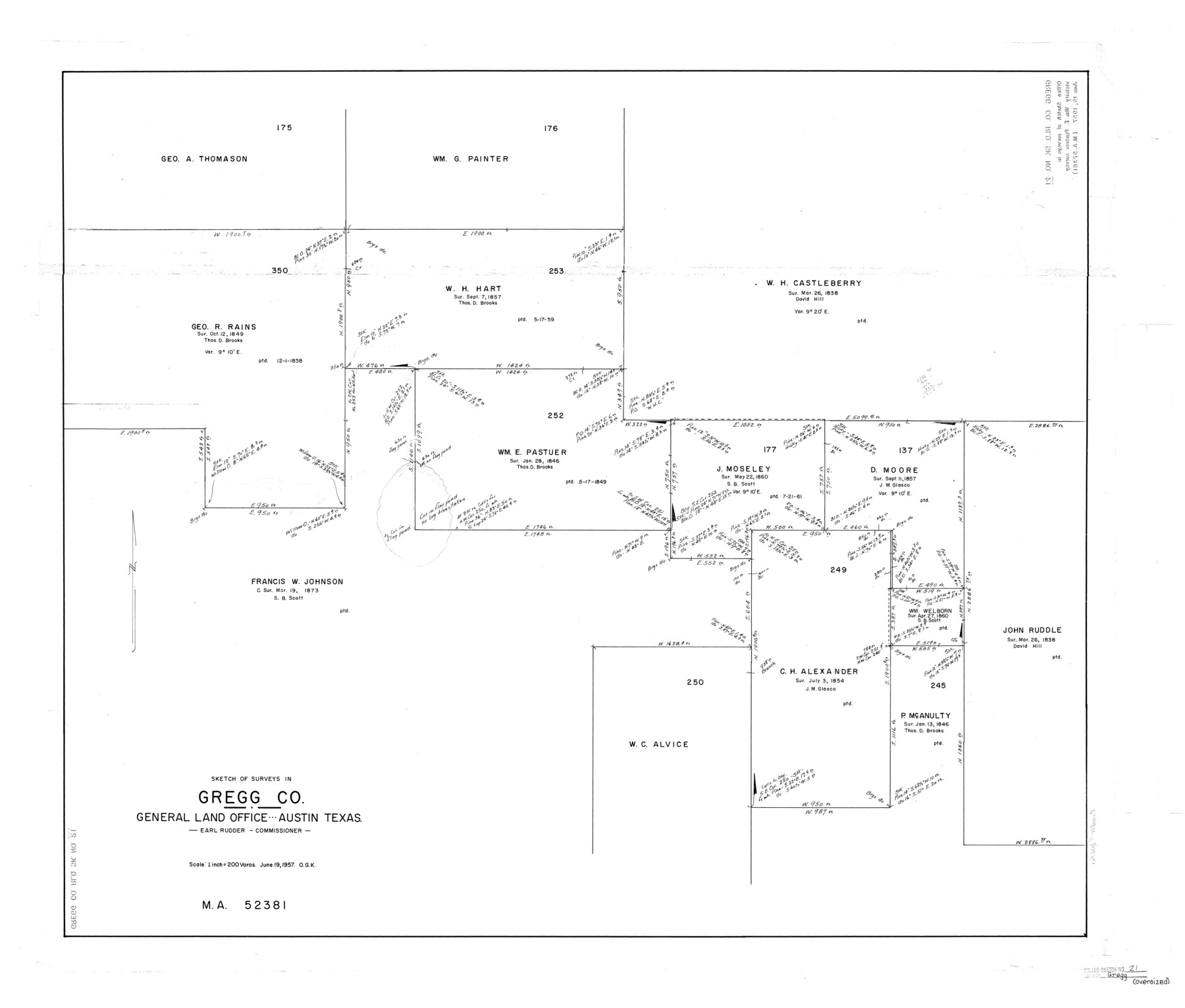
Gregg County Rolled Sketch 21
Sketch of surveys in Gregg Co. - MA 52381
-
Map/Doc
10650
-
Collection
General Map Collection
-
Object Dates
1957/6/19 (Creation Date)
1957/8/7 (File Date)
-
Counties
Gregg
-
Subjects
Surveying Rolled Sketch
-
Height x Width
34.4 x 40.4 inches
87.4 x 102.6 cm
-
Scale
1" = 200 varas
Part of: General Map Collection
Erath County Working Sketch 38

Print $20.00
- Digital $50.00
Erath County Working Sketch 38
1974
Size 22.1 x 31.7 inches
Map/Doc 69119
Guadalupe County

Print $20.00
- Digital $50.00
Guadalupe County
1877
Size 21.5 x 21.4 inches
Map/Doc 3608
Wise County Working Sketch 17

Print $20.00
- Digital $50.00
Wise County Working Sketch 17
1972
Size 29.9 x 25.0 inches
Map/Doc 72631
Dimmit County Rolled Sketch CHM

Print $20.00
- Digital $50.00
Dimmit County Rolled Sketch CHM
1935
Size 38.4 x 43.4 inches
Map/Doc 8795
Wood County Boundary File 2

Print $8.00
- Digital $50.00
Wood County Boundary File 2
Size 8.4 x 7.1 inches
Map/Doc 60155
Map of Matagorda Bay and County, with the adjacent country

Print $20.00
- Digital $50.00
Map of Matagorda Bay and County, with the adjacent country
1846
Size 18.3 x 26.0 inches
Map/Doc 72765
Panola County Sketch File 21

Print $10.00
- Digital $50.00
Panola County Sketch File 21
Size 11.2 x 8.7 inches
Map/Doc 33487
Galveston County NRC Article 33.136 Sketch 27

Print $126.00
- Digital $50.00
Galveston County NRC Article 33.136 Sketch 27
2003
Size 24.4 x 36.2 inches
Map/Doc 81970
Current Miscellaneous File 110

Print $62.00
- Digital $50.00
Current Miscellaneous File 110
1972
Size 11.1 x 8.8 inches
Map/Doc 74713
Franklin County

Print $20.00
- Digital $50.00
Franklin County
1897
Size 35.1 x 14.3 inches
Map/Doc 3556
Flight Mission No. BQR-7K, Frame 29, Brazoria County

Print $20.00
- Digital $50.00
Flight Mission No. BQR-7K, Frame 29, Brazoria County
1952
Size 19.6 x 25.0 inches
Map/Doc 84027
Webb County Rolled Sketch 71

Print $20.00
- Digital $50.00
Webb County Rolled Sketch 71
1967
Size 26.2 x 20.5 inches
Map/Doc 8219
You may also like
[Sketch of a portion of a Bastrop District GLO map]
![90240, [Sketch of a portion of a Bastrop District GLO map], Twichell Survey Records](https://historictexasmaps.com/wmedia_w700/maps/90240-1.tif.jpg)
Print $3.00
- Digital $50.00
[Sketch of a portion of a Bastrop District GLO map]
1923
Size 11.4 x 15.1 inches
Map/Doc 90240
[Map of Hidalgo County]
![6207, [Map of Hidalgo County], General Map Collection](https://historictexasmaps.com/wmedia_w700/maps/6207.tif.jpg)
Print $20.00
- Digital $50.00
[Map of Hidalgo County]
1882
Size 26.0 x 19.9 inches
Map/Doc 6207

Val Verde County Sketch File 35

Print $23.00
- Digital $50.00
Val Verde County Sketch File 35
1937
Size 15.3 x 9.4 inches
Map/Doc 12574
Wilbarger County Sketch File 4

Print $4.00
- Digital $50.00
Wilbarger County Sketch File 4
1883
Size 12.7 x 8.2 inches
Map/Doc 40168
Brewster County Sketch File NS-7

Print $14.00
- Digital $50.00
Brewster County Sketch File NS-7
1945
Size 11.3 x 8.8 inches
Map/Doc 15992
Preliminary Chart of Galveston Bay, Texas

Print $20.00
- Digital $50.00
Preliminary Chart of Galveston Bay, Texas
1855
Size 22.5 x 18.4 inches
Map/Doc 69867
Shackelford County Sketch File 6

Print $20.00
- Digital $50.00
Shackelford County Sketch File 6
Size 14.8 x 24.5 inches
Map/Doc 81981
Part of Lea County

Print $20.00
- Digital $50.00
Part of Lea County
Size 42.2 x 35.5 inches
Map/Doc 92438
Brazoria County Sketch File 15a

Print $4.00
- Digital $50.00
Brazoria County Sketch File 15a
1892
Size 14.2 x 8.7 inches
Map/Doc 14979
Lamar County Sketch File 2

Print $4.00
- Digital $50.00
Lamar County Sketch File 2
1859
Size 12.1 x 7.5 inches
Map/Doc 29273
Pecos County Working Sketch 64

Print $20.00
- Digital $50.00
Pecos County Working Sketch 64
1955
Size 27.7 x 43.4 inches
Map/Doc 71536