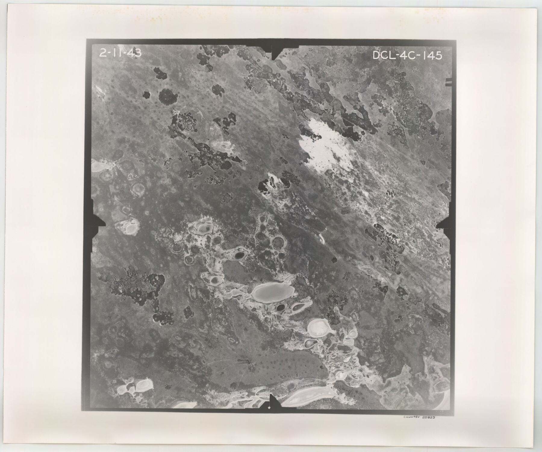
Flight Mission No. DCL-4C, Frame 145, Kenedy County
DCL-4C-145
-
Map/Doc
85823
-
Collection
General Map Collection
-
Object Dates
1943/2/11 (Creation Date)
-
People and Organizations
U. S. Department of Agriculture (Publisher)
-
Counties
Kenedy
-
Subjects
Aerial Photograph
-
Height x Width
18.6 x 22.4 inches
47.2 x 56.9 cm
-
Comments
Flown by Aerial Surveys of Pittsburgh, Inc. of Pittsburgh, Pennsylvania.
Part of: General Map Collection
Tanglewood, Station Map-Tracks & Structures-Lands, San Antonio & Aransas Pass Railway Co., Station 4804+179 to Station 4856+179

Print $4.00
- Digital $50.00
Tanglewood, Station Map-Tracks & Structures-Lands, San Antonio & Aransas Pass Railway Co., Station 4804+179 to Station 4856+179
1919
Size 11.7 x 18.6 inches
Map/Doc 62569
Lamb County Sketch File 14

Print $6.00
- Digital $50.00
Lamb County Sketch File 14
1914
Size 7.3 x 8.7 inches
Map/Doc 29374
The City of Austin and Suburbs

Print $40.00
- Digital $50.00
The City of Austin and Suburbs
1919
Size 120.7 x 43.9 inches
Map/Doc 88862
Terrell County Working Sketch 25

Print $40.00
- Digital $50.00
Terrell County Working Sketch 25
1942
Size 41.9 x 49.1 inches
Map/Doc 62175
Crosby County Sketch File 33

Print $20.00
- Digital $50.00
Crosby County Sketch File 33
1954
Size 30.9 x 37.1 inches
Map/Doc 10354
Part of Matagorda Bay & Peninsula, Texas

Print $40.00
- Digital $50.00
Part of Matagorda Bay & Peninsula, Texas
1856
Size 31.8 x 51.4 inches
Map/Doc 69978
Flight Mission No. BRA-8M, Frame 27, Jefferson County

Print $20.00
- Digital $50.00
Flight Mission No. BRA-8M, Frame 27, Jefferson County
1953
Size 18.6 x 22.3 inches
Map/Doc 85582
Flight Mission No. DCL-7C, Frame 20, Kenedy County

Print $20.00
- Digital $50.00
Flight Mission No. DCL-7C, Frame 20, Kenedy County
1943
Size 15.5 x 15.1 inches
Map/Doc 86012
Flight Mission No. CRE-3R, Frame 40, Jackson County

Print $20.00
- Digital $50.00
Flight Mission No. CRE-3R, Frame 40, Jackson County
1956
Size 18.6 x 22.3 inches
Map/Doc 85387
Archer County Working Sketch 1

Print $20.00
- Digital $50.00
Archer County Working Sketch 1
Size 42.4 x 42.0 inches
Map/Doc 67141
Kendall County Sketch File 4

Print $4.00
- Digital $50.00
Kendall County Sketch File 4
Size 7.8 x 8.6 inches
Map/Doc 28684
Flight Mission No. BRE-3P, Frame 93, Nueces County

Print $20.00
- Digital $50.00
Flight Mission No. BRE-3P, Frame 93, Nueces County
1956
Size 18.6 x 22.6 inches
Map/Doc 86824
You may also like
Kerr County Rolled Sketch 17

Print $20.00
- Digital $50.00
Kerr County Rolled Sketch 17
1953
Size 37.0 x 23.0 inches
Map/Doc 6499
McLennan County Sketch File 41

Print $44.00
- Digital $50.00
McLennan County Sketch File 41
1963
Size 11.1 x 8.6 inches
Map/Doc 31319
Sketch Z [Blocks K6 and K11]
![90610, Sketch Z [Blocks K6 and K11], Twichell Survey Records](https://historictexasmaps.com/wmedia_w700/maps/90610-1.tif.jpg)
Print $20.00
- Digital $50.00
Sketch Z [Blocks K6 and K11]
1903
Size 28.2 x 27.0 inches
Map/Doc 90610

Young County Working Sketch 23

Print $20.00
- Digital $50.00
Young County Working Sketch 23
1965
Size 31.3 x 22.3 inches
Map/Doc 62046
Atascosa County Sketch File 20

Print $4.00
- Digital $50.00
Atascosa County Sketch File 20
Size 7.9 x 9.0 inches
Map/Doc 13787
Presidio County Working Sketch 45

Print $20.00
- Digital $50.00
Presidio County Working Sketch 45
Size 25.2 x 20.0 inches
Map/Doc 71722
Edwards County Working Sketch 49

Print $20.00
- Digital $50.00
Edwards County Working Sketch 49
1950
Size 23.6 x 28.1 inches
Map/Doc 68925
Panola County Sketch File 4

Print $4.00
- Digital $50.00
Panola County Sketch File 4
1860
Size 8.9 x 8.9 inches
Map/Doc 33449
Kinney County Working Sketch 23

Print $20.00
- Digital $50.00
Kinney County Working Sketch 23
1950
Size 20.8 x 24.3 inches
Map/Doc 70205
Zavala County Rolled Sketch 12

Print $20.00
- Digital $50.00
Zavala County Rolled Sketch 12
Size 33.4 x 21.0 inches
Map/Doc 8320
