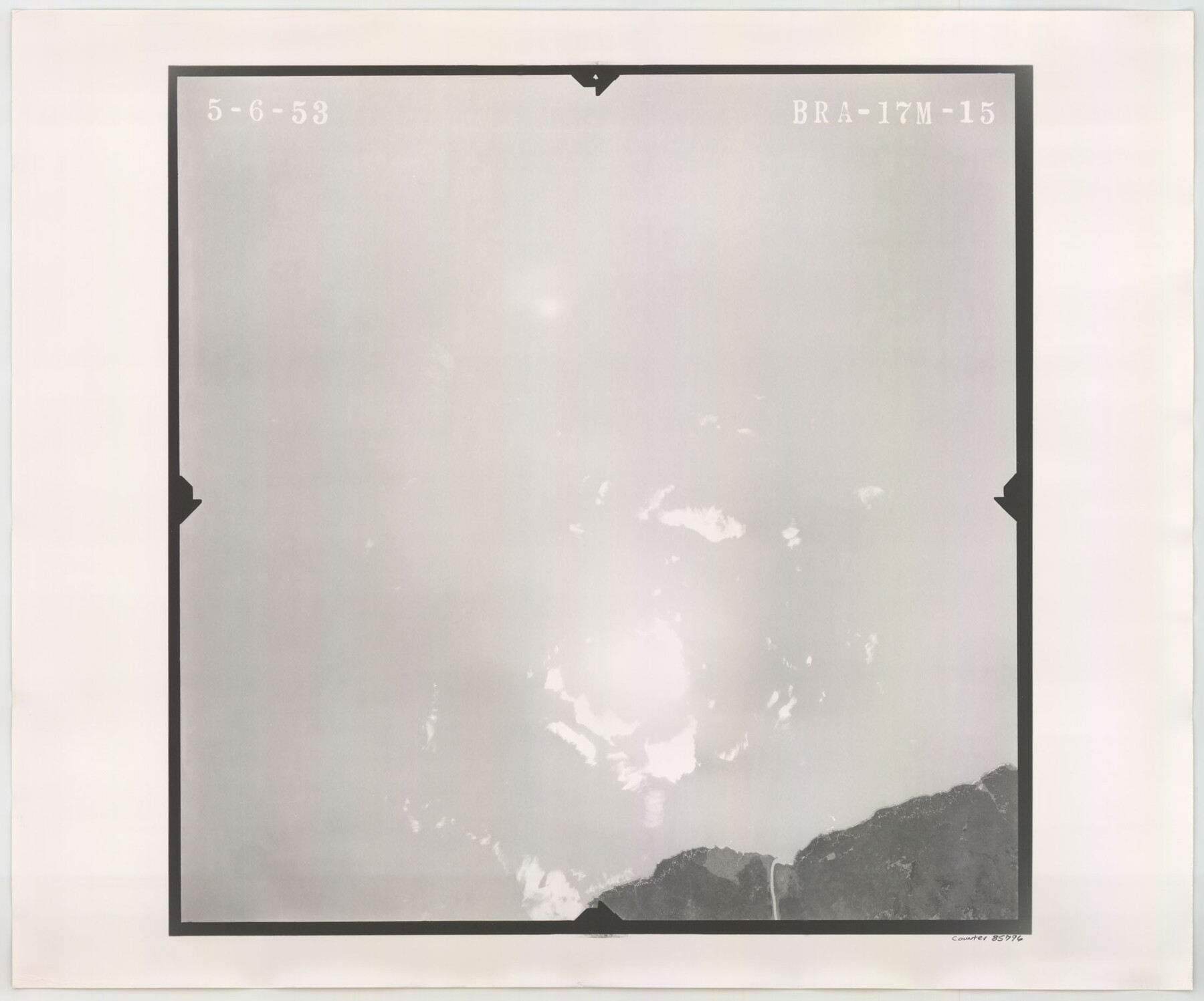
Flight Mission No. BRA-17M, Frame 15, Jefferson County
BRA-17M-15
-
Map/Doc
85796
-
Collection
General Map Collection
-
Object Dates
1953/5/6 (Creation Date)
-
People and Organizations
U. S. Department of Agriculture (Publisher)
-
Counties
Jefferson
-
Subjects
Aerial Photograph
-
Height x Width
18.5 x 22.3 inches
47.0 x 56.6 cm
-
Comments
Flown by Jack Ammann Photogrammetric Engineers of San Antonio, Texas.
Part of: General Map Collection
[Map of Nacogdoches County]
![10784, [Map of Nacogdoches County], General Map Collection](https://historictexasmaps.com/wmedia_w700/maps/10784-1.tif.jpg)
Print $40.00
- Digital $50.00
[Map of Nacogdoches County]
1840
Size 79.3 x 69.8 inches
Map/Doc 10784
Calhoun County NRC Article 33.136 Sketch 13

Print $24.00
Calhoun County NRC Article 33.136 Sketch 13
2023
Map/Doc 97272
Kenedy County Working Sketch 1

Print $20.00
- Digital $50.00
Kenedy County Working Sketch 1
Size 31.1 x 22.0 inches
Map/Doc 70002
Fort Bend County Rolled Sketch 17

Print $20.00
- Digital $50.00
Fort Bend County Rolled Sketch 17
1997
Size 28.0 x 38.5 inches
Map/Doc 5901
Kimble County Working Sketch 86

Print $20.00
- Digital $50.00
Kimble County Working Sketch 86
1973
Size 39.3 x 25.6 inches
Map/Doc 70154
Gregg County Rolled Sketch 9A

Print $20.00
- Digital $50.00
Gregg County Rolled Sketch 9A
1932
Size 38.1 x 30.2 inches
Map/Doc 6035
Flight Mission No. BRA-7M, Frame 128, Jefferson County

Print $20.00
- Digital $50.00
Flight Mission No. BRA-7M, Frame 128, Jefferson County
1953
Size 18.8 x 22.5 inches
Map/Doc 85522
Trinity County

Print $20.00
- Digital $50.00
Trinity County
1857
Size 19.2 x 30.8 inches
Map/Doc 4094
Kenedy County Rolled Sketch 4

Print $40.00
- Digital $50.00
Kenedy County Rolled Sketch 4
1904
Size 39.4 x 57.6 inches
Map/Doc 10654
[Beaumont, Sour Lake and Western Ry. Right of Way and Alignment - Frisco]
![64111, [Beaumont, Sour Lake and Western Ry. Right of Way and Alignment - Frisco], General Map Collection](https://historictexasmaps.com/wmedia_w700/maps/64111.tif.jpg)
Print $20.00
- Digital $50.00
[Beaumont, Sour Lake and Western Ry. Right of Way and Alignment - Frisco]
1910
Size 19.8 x 45.9 inches
Map/Doc 64111
[Surveys near Seco Creek]
![225, [Surveys near Seco Creek], General Map Collection](https://historictexasmaps.com/wmedia_w700/maps/225.tif.jpg)
Print $2.00
- Digital $50.00
[Surveys near Seco Creek]
1846
Size 13.1 x 7.3 inches
Map/Doc 225
Hansford County Working Sketch Graphic Index

Print $20.00
- Digital $50.00
Hansford County Working Sketch Graphic Index
1932
Size 39.2 x 38.2 inches
Map/Doc 76565
You may also like
Fractional Township No. 10 South Range No. 24 East of the Indian Meridian, Indian Territory

Print $20.00
- Digital $50.00
Fractional Township No. 10 South Range No. 24 East of the Indian Meridian, Indian Territory
1898
Size 19.1 x 24.2 inches
Map/Doc 75242
Pecos County Rolled Sketch 26A

Print $40.00
- Digital $50.00
Pecos County Rolled Sketch 26A
1890
Size 56.4 x 19.5 inches
Map/Doc 9689
Brewster County Working Sketch 10

Print $20.00
- Digital $50.00
Brewster County Working Sketch 10
1910
Size 17.8 x 16.8 inches
Map/Doc 67543
Flight Mission No. CUG-2P, Frame 70, Kleberg County

Print $20.00
- Digital $50.00
Flight Mission No. CUG-2P, Frame 70, Kleberg County
1956
Size 18.7 x 22.4 inches
Map/Doc 86207
Lamar County State Real Property Sketch 1

Print $20.00
- Digital $50.00
Lamar County State Real Property Sketch 1
2013
Size 24.0 x 36.0 inches
Map/Doc 93656
Mason County Rolled Sketch 2

Print $20.00
- Digital $50.00
Mason County Rolled Sketch 2
1952
Size 32.9 x 26.7 inches
Map/Doc 6675
Jim Hogg County Sketch File 8

Print $20.00
- Digital $50.00
Jim Hogg County Sketch File 8
1941
Size 21.9 x 27.0 inches
Map/Doc 11887
Burnet County Sketch File 41

Print $8.00
- Digital $50.00
Burnet County Sketch File 41
1950
Size 11.8 x 8.6 inches
Map/Doc 16757
Medina County Working Sketch Graphic Index

Print $40.00
- Digital $50.00
Medina County Working Sketch Graphic Index
1976
Size 52.8 x 42.8 inches
Map/Doc 76639
Coke County Boundary File 1

Print $50.00
- Digital $50.00
Coke County Boundary File 1
Size 8.9 x 4.0 inches
Map/Doc 51570
Tyler County Sketch File 25

Print $28.00
- Digital $50.00
Tyler County Sketch File 25
1953
Size 14.5 x 9.0 inches
Map/Doc 38689
[Surveys in Polk and Tyler Counties, Liberty District]
![354, [Surveys in Polk and Tyler Counties, Liberty District], General Map Collection](https://historictexasmaps.com/wmedia_w700/maps/354.tif.jpg)
Print $2.00
- Digital $50.00
[Surveys in Polk and Tyler Counties, Liberty District]
1847
Size 10.8 x 8.1 inches
Map/Doc 354