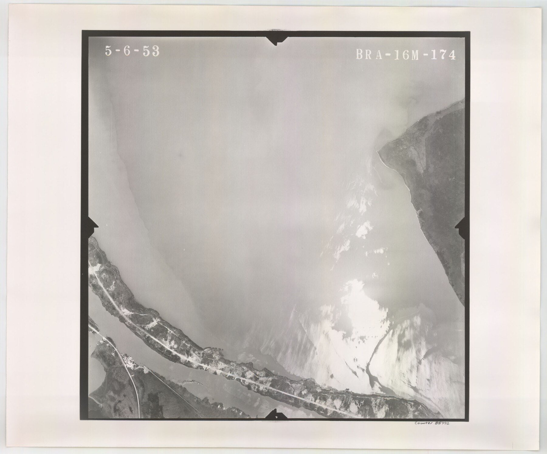
Flight Mission No. BRA-16M, Frame 174, Jefferson County
BRA-16M-174
-
Map/Doc
85772
-
Collection
General Map Collection
-
Object Dates
1953/5/6 (Creation Date)
-
People and Organizations
U. S. Department of Agriculture (Publisher)
-
Counties
Jefferson
-
Subjects
Aerial Photograph
-
Height x Width
18.6 x 22.4 inches
47.2 x 56.9 cm
-
Comments
Flown by Jack Ammann Photogrammetric Engineers of San Antonio, Texas.
Part of: General Map Collection
Walker County Sketch File 2

Print $6.00
- Digital $50.00
Walker County Sketch File 2
1854
Size 10.5 x 15.9 inches
Map/Doc 39549
Potter County Sketch File 13

Print $20.00
- Digital $50.00
Potter County Sketch File 13
Size 21.6 x 16.6 inches
Map/Doc 12199
Shackelford County Boundary File 6

Print $6.00
- Digital $50.00
Shackelford County Boundary File 6
Size 11.4 x 8.8 inches
Map/Doc 58668
San Jacinto County Working Sketch 36

Print $40.00
- Digital $50.00
San Jacinto County Working Sketch 36
1964
Size 33.0 x 57.2 inches
Map/Doc 63749
Colorado River, Glen Flora Sheet

Print $6.00
- Digital $50.00
Colorado River, Glen Flora Sheet
1941
Size 24.5 x 32.6 inches
Map/Doc 65310
Brewster County Rolled Sketch 97

Print $20.00
- Digital $50.00
Brewster County Rolled Sketch 97
1952
Size 31.6 x 30.7 inches
Map/Doc 5254
Intracoastal Waterway in Texas - Corpus Christi to Point Isabel including Arroyo Colorado to Mo. Pac. R.R. Bridge Near Harlingen

Print $20.00
- Digital $50.00
Intracoastal Waterway in Texas - Corpus Christi to Point Isabel including Arroyo Colorado to Mo. Pac. R.R. Bridge Near Harlingen
1933
Size 28.1 x 41.2 inches
Map/Doc 61845
Padre Island National Seashore, Texas - Dependent Resurvey

Print $4.00
- Digital $50.00
Padre Island National Seashore, Texas - Dependent Resurvey
2001
Size 17.8 x 24.2 inches
Map/Doc 60544
Haskell County Rolled Sketch 14

Print $3.00
- Digital $50.00
Haskell County Rolled Sketch 14
1991
Size 11.1 x 17.1 inches
Map/Doc 6172
Crane County Working Sketch 31

Print $20.00
- Digital $50.00
Crane County Working Sketch 31
1982
Size 34.3 x 37.7 inches
Map/Doc 68308
Winkler County Rolled Sketch 14

Print $20.00
- Digital $50.00
Winkler County Rolled Sketch 14
Size 25.9 x 38.4 inches
Map/Doc 8275
Flight Mission No. DIX-6P, Frame 131, Aransas County

Print $20.00
- Digital $50.00
Flight Mission No. DIX-6P, Frame 131, Aransas County
1956
Size 19.5 x 23.0 inches
Map/Doc 83837
You may also like
Jasper County Sketch File 16

Print $20.00
- Digital $50.00
Jasper County Sketch File 16
Size 16.8 x 16.2 inches
Map/Doc 11849
Bastrop County

Print $40.00
- Digital $50.00
Bastrop County
1917
Size 49.7 x 42.0 inches
Map/Doc 4796
Henderson County Working Sketch 2

Print $20.00
- Digital $50.00
Henderson County Working Sketch 2
Size 29.1 x 30.0 inches
Map/Doc 66135
Tarrant County Sketch File 32

Print $16.00
- Digital $50.00
Tarrant County Sketch File 32
1946
Size 11.3 x 8.8 inches
Map/Doc 37751
General Highway Map, La Salle County, Texas

Print $20.00
General Highway Map, La Salle County, Texas
1961
Size 18.2 x 25.0 inches
Map/Doc 79564
Donley County Sketch File 10

Print $8.00
- Digital $50.00
Donley County Sketch File 10
1889
Size 9.6 x 6.1 inches
Map/Doc 21240
The Star of Llano County

Price $20.00
The Star of Llano County
2023
Size 3.3 x 2.8 inches
Map/Doc 97175
Panola County Working Sketch 32

Print $20.00
- Digital $50.00
Panola County Working Sketch 32
1982
Map/Doc 71441
Montgomery County Working Sketch 67

Print $20.00
- Digital $50.00
Montgomery County Working Sketch 67
1972
Size 35.0 x 29.6 inches
Map/Doc 71174
Map of Stephens County, Texas

Print $20.00
- Digital $50.00
Map of Stephens County, Texas
Size 36.8 x 40.1 inches
Map/Doc 93026
Photo Index of Texas Coast - Sheet 2 of 6

Print $20.00
- Digital $50.00
Photo Index of Texas Coast - Sheet 2 of 6
1954
Size 20.0 x 24.0 inches
Map/Doc 83439
Burleson County Working Sketch 17

Print $20.00
- Digital $50.00
Burleson County Working Sketch 17
1980
Size 20.5 x 37.6 inches
Map/Doc 67736