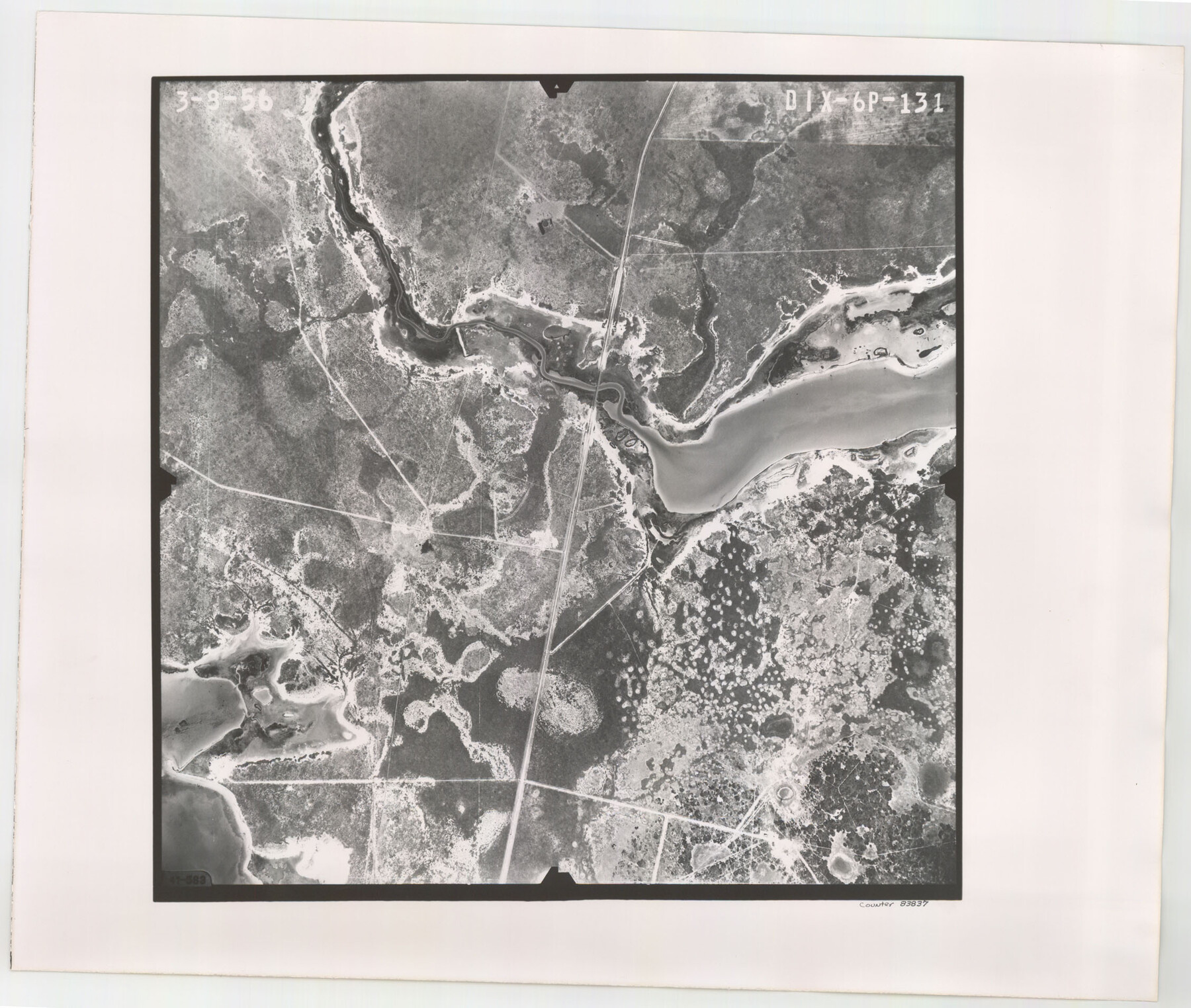
Flight Mission No. DIX-6P, Frame 131, Aransas County
DIX-6P-131
-
Map/Doc
83837
-
Collection
General Map Collection
-
Object Dates
1956/3/8 (Creation Date)
-
People and Organizations
U. S. Department of Agriculture (Publisher)
-
Counties
Aransas
-
Subjects
Aerial Photograph
-
Height x Width
19.5 x 23.0 inches
49.5 x 58.4 cm
-
Comments
Flown by V. L. Beavers and Associates of San Antonio, Texas.
Part of: General Map Collection
Flight Mission No. DIX-6P, Frame 181, Aransas County

Print $20.00
- Digital $50.00
Flight Mission No. DIX-6P, Frame 181, Aransas County
1956
Size 18.9 x 22.6 inches
Map/Doc 83843
Map of Comal County

Print $20.00
- Digital $50.00
Map of Comal County
1897
Size 40.0 x 45.8 inches
Map/Doc 66780
Refugio County Rolled Sketch 7

Print $20.00
- Digital $50.00
Refugio County Rolled Sketch 7
1946
Size 28.4 x 34.5 inches
Map/Doc 7508
Chambers County Sketch File 51

Print $35.00
- Digital $50.00
Chambers County Sketch File 51
1935
Size 14.3 x 9.0 inches
Map/Doc 18068
Chart of the Rio Bravo del Norte traced from a survey made by Henry Austin by Lieut. Bowman, 3d. Infy.

Print $20.00
- Digital $50.00
Chart of the Rio Bravo del Norte traced from a survey made by Henry Austin by Lieut. Bowman, 3d. Infy.
1866
Size 18.1 x 27.2 inches
Map/Doc 72890
Haskell County Boundary File 3

Print $6.00
- Digital $50.00
Haskell County Boundary File 3
Size 11.0 x 8.6 inches
Map/Doc 54539
Sterling County

Print $40.00
- Digital $50.00
Sterling County
1926
Size 48.5 x 34.7 inches
Map/Doc 63048
Presidio County Working Sketch 118

Print $20.00
- Digital $50.00
Presidio County Working Sketch 118
1983
Size 47.4 x 41.6 inches
Map/Doc 71795
Hamilton County Working Sketch 18

Print $20.00
- Digital $50.00
Hamilton County Working Sketch 18
1952
Size 22.4 x 25.1 inches
Map/Doc 63356
Colonial Texas. 1822 to 1834.

Print $20.00
- Digital $50.00
Colonial Texas. 1822 to 1834.
1897
Size 12.8 x 16.3 inches
Map/Doc 93410
Uvalde County Working Sketch 4

Print $20.00
- Digital $50.00
Uvalde County Working Sketch 4
1920
Size 23.1 x 17.1 inches
Map/Doc 72074
Outer Continental Shelf Leasing Maps (Louisiana Offshore Operations)

Print $20.00
- Digital $50.00
Outer Continental Shelf Leasing Maps (Louisiana Offshore Operations)
1955
Size 19.9 x 13.4 inches
Map/Doc 75860
You may also like
Ochiltree County State of Texas

Print $20.00
- Digital $50.00
Ochiltree County State of Texas
1889
Size 25.5 x 19.0 inches
Map/Doc 4609
Map of Limestone County

Print $20.00
- Digital $50.00
Map of Limestone County
1858
Size 23.2 x 23.8 inches
Map/Doc 3819
Pecos County Sketch File 79

Print $8.00
- Digital $50.00
Pecos County Sketch File 79
1944
Size 11.3 x 8.8 inches
Map/Doc 33914
Sutton County Sketch File 18

Print $94.00
- Digital $50.00
Sutton County Sketch File 18
1893
Size 12.9 x 8.3 inches
Map/Doc 37410
Pecos County Rolled Sketch 32

Print $20.00
- Digital $50.00
Pecos County Rolled Sketch 32
1890
Size 21.0 x 14.1 inches
Map/Doc 7214
King County Working Sketch 16

Print $40.00
- Digital $50.00
King County Working Sketch 16
1979
Size 41.4 x 59.4 inches
Map/Doc 70180
Lampasas County Working Sketch Graphic Index

Print $20.00
- Digital $50.00
Lampasas County Working Sketch Graphic Index
1972
Size 34.6 x 42.0 inches
Map/Doc 76614
Sutton County Working Sketch 2

Print $20.00
- Digital $50.00
Sutton County Working Sketch 2
1968
Size 31.2 x 29.3 inches
Map/Doc 62345
Calcasieu Pass to Sabine Pass

Print $20.00
- Digital $50.00
Calcasieu Pass to Sabine Pass
1972
Size 44.9 x 35.8 inches
Map/Doc 69811
Childress County Working Sketch 5

Print $20.00
- Digital $50.00
Childress County Working Sketch 5
1948
Size 19.6 x 23.5 inches
Map/Doc 68021
Flight Mission No. BRE-4P, Frame 172, Nueces County

Print $20.00
- Digital $50.00
Flight Mission No. BRE-4P, Frame 172, Nueces County
1956
Size 18.4 x 22.1 inches
Map/Doc 86835
San Patricio County NRC Article 33.136 Sketch 1

Print $32.00
- Digital $50.00
San Patricio County NRC Article 33.136 Sketch 1
2001
Size 18.5 x 24.1 inches
Map/Doc 61623