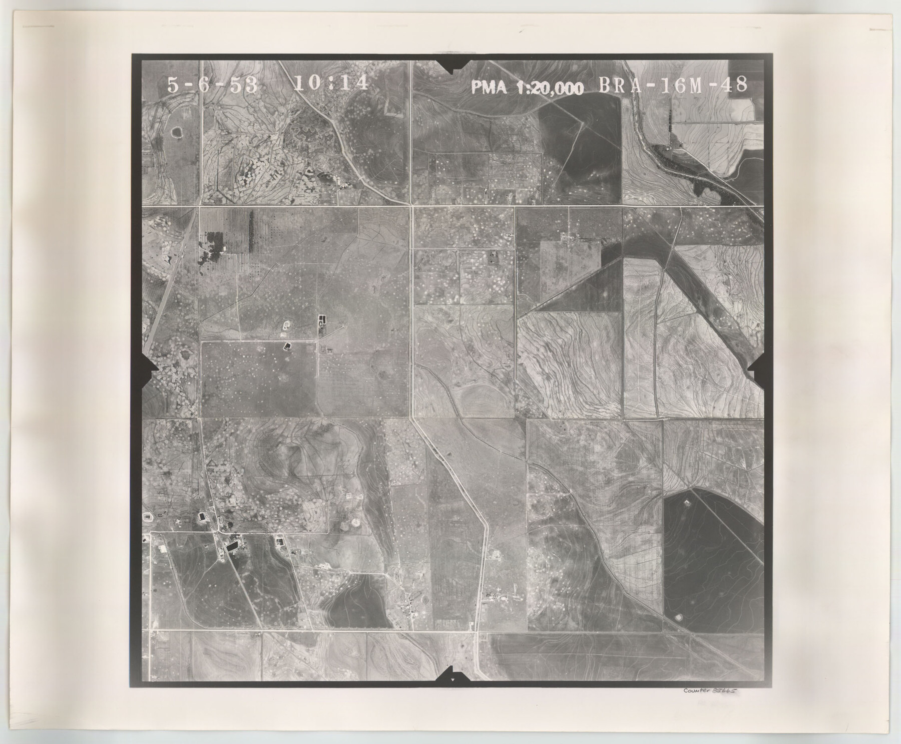
Flight Mission No. BRA-16M, Frame 48, Jefferson County
BRA-16M-48
-
Map/Doc
85665
-
Collection
General Map Collection
-
Object Dates
1953/5/6 (Creation Date)
-
People and Organizations
U. S. Department of Agriculture (Publisher)
-
Counties
Jefferson
-
Subjects
Aerial Photograph
-
Height x Width
18.6 x 22.5 inches
47.2 x 57.2 cm
-
Comments
Flown by Jack Ammann Photogrammetric Engineers of San Antonio, Texas.
Part of: General Map Collection
Aransas County Boundary File 4

Print $30.00
- Digital $50.00
Aransas County Boundary File 4
Size 9.2 x 7.8 inches
Map/Doc 49790
Swisher County Sketch File 1

Print $28.00
- Digital $50.00
Swisher County Sketch File 1
1884
Size 13.0 x 8.2 inches
Map/Doc 37566
Map of Asylum Lands

Print $20.00
- Digital $50.00
Map of Asylum Lands
1857
Size 28.4 x 18.5 inches
Map/Doc 2459
Harris County Sketch File 22

Print $4.00
- Digital $50.00
Harris County Sketch File 22
1862
Size 9.1 x 9.4 inches
Map/Doc 25375
Smith County Rolled Sketch 2

Print $20.00
- Digital $50.00
Smith County Rolled Sketch 2
Size 36.2 x 34.6 inches
Map/Doc 76010
Flight Mission No. DCL-7C, Frame 96, Kenedy County

Print $20.00
- Digital $50.00
Flight Mission No. DCL-7C, Frame 96, Kenedy County
1943
Size 15.4 x 15.2 inches
Map/Doc 86068
Cameron County Rolled Sketch 19

Print $20.00
- Digital $50.00
Cameron County Rolled Sketch 19
Size 16.1 x 11.3 inches
Map/Doc 5468
Flight Mission No. BRA-8M, Frame 87, Jefferson County

Print $20.00
- Digital $50.00
Flight Mission No. BRA-8M, Frame 87, Jefferson County
1953
Size 18.6 x 22.3 inches
Map/Doc 85607
Colorado River, Sandy Creek Sheet

Print $6.00
- Digital $50.00
Colorado River, Sandy Creek Sheet
1941
Size 27.5 x 30.7 inches
Map/Doc 65319
Navarro County Working Sketch Graphic Index

Print $40.00
- Digital $50.00
Navarro County Working Sketch Graphic Index
1924
Size 42.7 x 48.7 inches
Map/Doc 76652

Hunt County Boundary File 7

Print $14.00
- Digital $50.00
Hunt County Boundary File 7
Size 14.1 x 8.7 inches
Map/Doc 55228
You may also like
[H. & G. N. RR. Co. Block 1]
![90888, [H. & G. N. RR. Co. Block 1], Twichell Survey Records](https://historictexasmaps.com/wmedia_w700/maps/90888-1.tif.jpg)
Print $20.00
- Digital $50.00
[H. & G. N. RR. Co. Block 1]
Size 37.1 x 43.6 inches
Map/Doc 90888
Flight Mission No. BRA-7M, Frame 135, Jefferson County

Print $20.00
- Digital $50.00
Flight Mission No. BRA-7M, Frame 135, Jefferson County
1953
Size 18.6 x 22.4 inches
Map/Doc 85529
Kaufman County Sketch File 7

Print $5.00
- Digital $50.00
Kaufman County Sketch File 7
1847
Size 8.3 x 10.1 inches
Map/Doc 28636
Johnson County Working Sketch 14

Print $20.00
- Digital $50.00
Johnson County Working Sketch 14
1974
Size 37.3 x 31.7 inches
Map/Doc 66627
Hutchinson County Rolled Sketch 12

Print $20.00
- Digital $50.00
Hutchinson County Rolled Sketch 12
Size 26.1 x 41.4 inches
Map/Doc 6282
Foard County Sketch File 36

Print $20.00
- Digital $50.00
Foard County Sketch File 36
Size 15.4 x 28.0 inches
Map/Doc 11498
El Paso County Boundary File 16

Print $6.00
- Digital $50.00
El Paso County Boundary File 16
Size 14.0 x 8.5 inches
Map/Doc 53189
Leon County Rolled Sketch 17

Print $20.00
- Digital $50.00
Leon County Rolled Sketch 17
1981
Size 25.2 x 33.4 inches
Map/Doc 6602
[Surveys in Austin's Colony at Matagorda Bay and along the Trespalacios and Colorado Rivers]
![147, [Surveys in Austin's Colony at Matagorda Bay and along the Trespalacios and Colorado Rivers], General Map Collection](https://historictexasmaps.com/wmedia_w700/maps/147.tif.jpg)
Print $20.00
- Digital $50.00
[Surveys in Austin's Colony at Matagorda Bay and along the Trespalacios and Colorado Rivers]
1821
Size 31.6 x 20.5 inches
Map/Doc 147
Wharton County Sketch File A4

Print $11.00
- Digital $50.00
Wharton County Sketch File A4
1904
Size 11.0 x 8.4 inches
Map/Doc 39981
Plat Showing Positions of Blocks S, I, and X02 and Unsurveyed Area

Print $20.00
- Digital $50.00
Plat Showing Positions of Blocks S, I, and X02 and Unsurveyed Area
1928
Size 12.0 x 12.6 inches
Map/Doc 92194
Galveston County Sketch File 6

Print $4.00
- Digital $50.00
Galveston County Sketch File 6
Size 14.2 x 8.9 inches
Map/Doc 23362