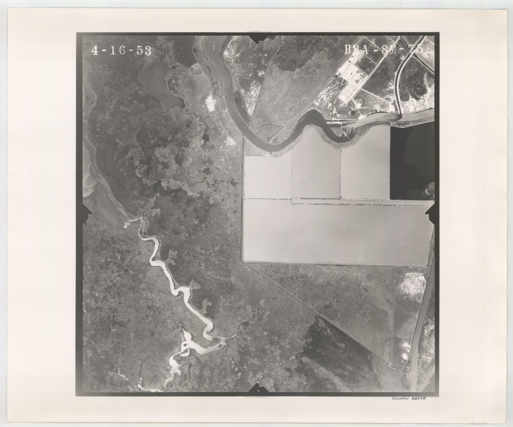
Flight Mission No. BRA-8M, Frame 75, Jefferson County
BRA-8M-75
-
Map/Doc
85595
-
Collection
General Map Collection
-
Object Dates
1953/4/16 (Creation Date)
-
People and Organizations
U. S. Department of Agriculture (Publisher)
-
Counties
Jefferson
-
Subjects
Aerial Photograph
-
Height x Width
18.6 x 22.4 inches
47.2 x 56.9 cm
-
Comments
Flown by Jack Ammann Photogrammetric Engineers of San Antonio, Texas.
Part of: General Map Collection
Dallas County Sketch File 11

Print $12.00
- Digital $50.00
Dallas County Sketch File 11
1860
Size 8.5 x 7.9 inches
Map/Doc 20416
Liberty County Working Sketch 66

Print $40.00
- Digital $50.00
Liberty County Working Sketch 66
1970
Size 42.9 x 49.9 inches
Map/Doc 70526
Edwards County Rolled Sketch 28

Print $20.00
- Digital $50.00
Edwards County Rolled Sketch 28
1950
Size 18.9 x 27.0 inches
Map/Doc 5814
Real County Working Sketch 38

Print $20.00
- Digital $50.00
Real County Working Sketch 38
1951
Size 34.0 x 37.9 inches
Map/Doc 71930
Copy of connection made by E. Sewell

Print $2.00
- Digital $50.00
Copy of connection made by E. Sewell
1841
Size 9.4 x 9.0 inches
Map/Doc 161
Oldham County Sketch File 6

Print $20.00
- Digital $50.00
Oldham County Sketch File 6
1883
Size 31.4 x 42.8 inches
Map/Doc 10561
Angelina County Working Sketch 25

Print $20.00
- Digital $50.00
Angelina County Working Sketch 25
1954
Size 25.0 x 17.5 inches
Map/Doc 67107

[Surveyor's certificate by James Howlet, District Surveyor]
![318, [Surveyor's certificate by James Howlet, District Surveyor], General Map Collection](https://historictexasmaps.com/wmedia_w700/maps/318.tif.jpg)
Print $2.00
- Digital $50.00
[Surveyor's certificate by James Howlet, District Surveyor]
Size 6.1 x 8.0 inches
Map/Doc 318
Atascosa County Sketch File 19

Print $6.00
- Digital $50.00
Atascosa County Sketch File 19
1854
Size 8.8 x 7.2 inches
Map/Doc 13784
Gregg County Sketch File 6

Print $10.00
- Digital $50.00
Gregg County Sketch File 6
1931
Size 11.2 x 8.8 inches
Map/Doc 24577
Presidio County Sketch File S

Print $27.00
- Digital $50.00
Presidio County Sketch File S
1917
Size 14.3 x 8.8 inches
Map/Doc 34561
You may also like
Wood County Working Sketch 15

Print $20.00
- Digital $50.00
Wood County Working Sketch 15
1981
Size 25.7 x 31.7 inches
Map/Doc 62015
Map of Briscoe County

Print $20.00
- Digital $50.00
Map of Briscoe County
1885
Size 24.4 x 20.1 inches
Map/Doc 3334
Dimmit County Rolled Sketch 22A

Print $20.00
- Digital $50.00
Dimmit County Rolled Sketch 22A
2012
Size 23.2 x 34.0 inches
Map/Doc 93630
Harris County Rolled Sketch 70

Print $20.00
- Digital $50.00
Harris County Rolled Sketch 70
1942
Size 29.6 x 36.2 inches
Map/Doc 6110
Zavala County Sketch File 14

Print $26.00
- Digital $50.00
Zavala County Sketch File 14
1887
Size 14.4 x 8.7 inches
Map/Doc 41308
Kleberg County Boundary File 2

Print $22.00
- Digital $50.00
Kleberg County Boundary File 2
Size 14.3 x 8.7 inches
Map/Doc 64966
Burnet County Sketch File 37

Print $2.00
- Digital $50.00
Burnet County Sketch File 37
1935
Size 10.1 x 8.2 inches
Map/Doc 16754
Wichita County Working Sketch 11

Print $20.00
- Digital $50.00
Wichita County Working Sketch 11
1920
Size 32.0 x 18.8 inches
Map/Doc 72520

Eastland County Working Sketch 28

Print $20.00
- Digital $50.00
Eastland County Working Sketch 28
1952
Size 25.0 x 21.3 inches
Map/Doc 68809
Concho County Sketch File 38

Print $4.00
- Digital $50.00
Concho County Sketch File 38
1938
Size 14.6 x 9.0 inches
Map/Doc 19188
Aransas County Sketch File 7

Print $4.00
- Digital $50.00
Aransas County Sketch File 7
Size 12.7 x 7.9 inches
Map/Doc 13112