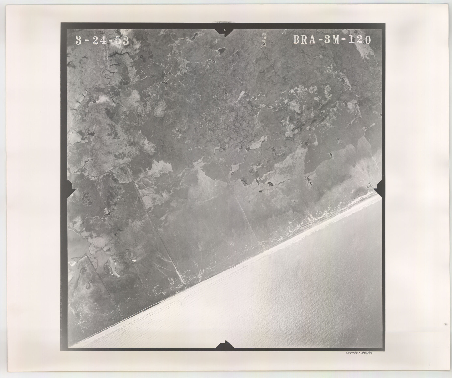
Flight Mission No. BRA-3M, Frame 120, Jefferson County
BRA-3M-120
-
Map/Doc
85394
-
Collection
General Map Collection
-
Object Dates
1953/3/24 (Creation Date)
-
People and Organizations
U. S. Department of Agriculture (Publisher)
-
Counties
Jefferson
-
Subjects
Aerial Photograph
-
Height x Width
18.6 x 22.3 inches
47.2 x 56.6 cm
-
Comments
Flown by Jack Ammann Photogrammetric Engineers of San Antonio, Texas.
Part of: General Map Collection
Coke County Sketch File 19

Print $20.00
- Digital $50.00
Coke County Sketch File 19
Size 18.5 x 25.0 inches
Map/Doc 11110
Tom Green County Sketch File 70

Print $6.00
- Digital $50.00
Tom Green County Sketch File 70
1945
Size 11.3 x 8.9 inches
Map/Doc 38241
Cameron County Rolled Sketch Z7

Print $20.00
- Digital $50.00
Cameron County Rolled Sketch Z7
1937
Size 28.3 x 34.1 inches
Map/Doc 5405
Flight Mission No. CGI-1N, Frame 184, Cameron County

Print $20.00
- Digital $50.00
Flight Mission No. CGI-1N, Frame 184, Cameron County
1955
Size 18.5 x 22.2 inches
Map/Doc 84519
Swisher County Sketch File 7

Print $32.00
- Digital $50.00
Swisher County Sketch File 7
1904
Size 9.0 x 8.4 inches
Map/Doc 37622
Kleberg County Rolled Sketch 13

Print $20.00
- Digital $50.00
Kleberg County Rolled Sketch 13
1995
Size 39.3 x 33.8 inches
Map/Doc 6554
Presidio County Working Sketch 18

Print $20.00
- Digital $50.00
Presidio County Working Sketch 18
1943
Size 26.0 x 25.4 inches
Map/Doc 71694
Pecos County Rolled Sketch P

Print $20.00
- Digital $50.00
Pecos County Rolled Sketch P
1885
Size 39.0 x 46.1 inches
Map/Doc 9686
Williamson County

Print $20.00
- Digital $50.00
Williamson County
1872
Size 18.4 x 28.2 inches
Map/Doc 4151
Fort Bend County Working Sketch 9

Print $20.00
- Digital $50.00
Fort Bend County Working Sketch 9
1932
Size 38.7 x 16.0 inches
Map/Doc 69215
Kendall County Rolled Sketch 4

Print $20.00
- Digital $50.00
Kendall County Rolled Sketch 4
1945
Size 29.9 x 27.0 inches
Map/Doc 6457
Foard County Working Sketch 6

Print $20.00
- Digital $50.00
Foard County Working Sketch 6
1944
Size 43.4 x 31.4 inches
Map/Doc 69197
You may also like
A Topographical Map of The Government Tract Adjoining the City of Austin

Print $20.00
- Digital $50.00
A Topographical Map of The Government Tract Adjoining the City of Austin
1840
Size 44.5 x 36.0 inches
Map/Doc 82031
Jack County Working Sketch 12

Print $20.00
- Digital $50.00
Jack County Working Sketch 12
1959
Size 18.0 x 22.4 inches
Map/Doc 66438
Van Zandt County Sketch File 40a

Print $4.00
- Digital $50.00
Van Zandt County Sketch File 40a
1872
Size 8.2 x 13.0 inches
Map/Doc 39488
Brewster County Rolled Sketch 122

Print $20.00
- Digital $50.00
Brewster County Rolled Sketch 122
1974
Size 32.0 x 25.5 inches
Map/Doc 5297
Webb County Rolled Sketch 28

Print $20.00
- Digital $50.00
Webb County Rolled Sketch 28
1932
Size 27.5 x 20.6 inches
Map/Doc 8186
Hardin County Sketch File 69

Print $20.00
- Digital $50.00
Hardin County Sketch File 69
1944
Size 25.1 x 22.0 inches
Map/Doc 11641
Rusk County Sketch File 46

Print $4.00
Rusk County Sketch File 46
1846
Size 12.6 x 7.8 inches
Map/Doc 35595
Brewster County Sketch File N-23

Print $6.00
- Digital $50.00
Brewster County Sketch File N-23
1951
Size 14.4 x 9.0 inches
Map/Doc 15697
Block 15, Willona Village, Addition to City of Lubbock, Out SW Corner of SE/4, Section 2, Blk E, George Soash, Owner

Print $20.00
- Digital $50.00
Block 15, Willona Village, Addition to City of Lubbock, Out SW Corner of SE/4, Section 2, Blk E, George Soash, Owner
1953
Size 18.2 x 23.1 inches
Map/Doc 92772
Stonewall County Sketch File 5

Print $40.00
- Digital $50.00
Stonewall County Sketch File 5
Size 14.9 x 14.4 inches
Map/Doc 37206
Moore County Working Sketch 13

Print $40.00
- Digital $50.00
Moore County Working Sketch 13
1967
Size 38.2 x 87.5 inches
Map/Doc 71195
Hamilton County Working Sketch 17

Print $20.00
- Digital $50.00
Hamilton County Working Sketch 17
1951
Size 44.4 x 25.0 inches
Map/Doc 63355