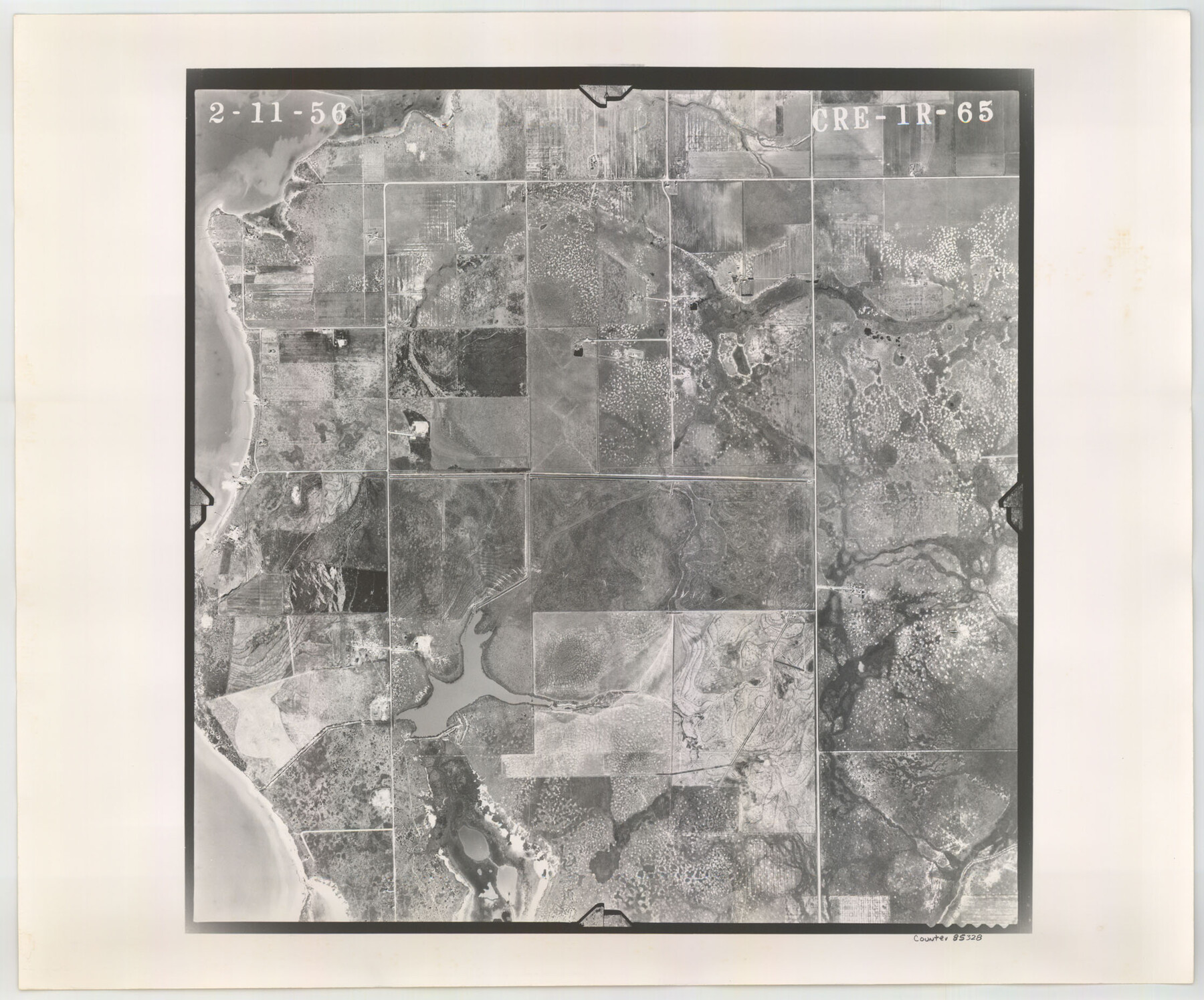
Flight Mission No. CRE-1R, Frame 65, Jackson County
CRE-1R-65
-
Map/Doc
85328
-
Collection
General Map Collection
-
Object Dates
1956/2/11 (Creation Date)
-
People and Organizations
U. S. Department of Agriculture (Publisher)
-
Counties
Jackson
-
Subjects
Aerial Photograph
-
Height x Width
18.6 x 22.3 inches
47.2 x 56.6 cm
-
Comments
Flown by Jack Ammann Photogrammetric Engineers of San Antonio, Texas.
Part of: General Map Collection
Territorios de Sierragorda e Isla del Carmen

Print $20.00
- Digital $50.00
Territorios de Sierragorda e Isla del Carmen
Size 22.9 x 31.2 inches
Map/Doc 97011
Webb County Sketch File 17

Print $20.00
- Digital $50.00
Webb County Sketch File 17
Size 13.5 x 15.4 inches
Map/Doc 12636
Hemphill County Sketch File 3

Print $8.00
- Digital $50.00
Hemphill County Sketch File 3
Size 11.4 x 6.5 inches
Map/Doc 26285
Maverick County Working Sketch 7

Print $20.00
- Digital $50.00
Maverick County Working Sketch 7
1959
Size 22.4 x 21.0 inches
Map/Doc 70899
Atascosa County Working Sketch 36

Print $20.00
- Digital $50.00
Atascosa County Working Sketch 36
2008
Size 29.4 x 44.5 inches
Map/Doc 88878
United States - Gulf Coast Texas - Southern part of Laguna Madre

Print $20.00
- Digital $50.00
United States - Gulf Coast Texas - Southern part of Laguna Madre
1941
Size 18.2 x 27.7 inches
Map/Doc 72947
Flight Mission No. BRA-7M, Frame 122, Jefferson County

Print $20.00
- Digital $50.00
Flight Mission No. BRA-7M, Frame 122, Jefferson County
1953
Size 18.7 x 22.3 inches
Map/Doc 85516
Shackelford County

Print $20.00
- Digital $50.00
Shackelford County
1972
Size 43.9 x 37.3 inches
Map/Doc 95638
Wise County Sketch File 16 and 17

Print $4.00
- Digital $50.00
Wise County Sketch File 16 and 17
1856
Size 13.1 x 8.3 inches
Map/Doc 40551

Flight Mission No. DCL-6C, Frame 177, Kenedy County

Print $20.00
- Digital $50.00
Flight Mission No. DCL-6C, Frame 177, Kenedy County
1943
Size 18.5 x 22.2 inches
Map/Doc 85989

You may also like
El Paso County State Real Property Sketch 3

Print $20.00
- Digital $50.00
El Paso County State Real Property Sketch 3
2012
Size 25.1 x 36.4 inches
Map/Doc 93700
Crane County Sketch File 9

Print $20.00
- Digital $50.00
Crane County Sketch File 9
1926
Size 21.7 x 34.1 inches
Map/Doc 11208
Outer Continental Shelf Leasing Maps (Texas Offshore Operations)

Print $20.00
- Digital $50.00
Outer Continental Shelf Leasing Maps (Texas Offshore Operations)
Size 19.4 x 18.5 inches
Map/Doc 75849
Montague County Working Sketch 28

Print $20.00
- Digital $50.00
Montague County Working Sketch 28
1963
Size 36.6 x 31.8 inches
Map/Doc 71094
Kleberg County Rolled Sketch 10-5

Print $20.00
- Digital $50.00
Kleberg County Rolled Sketch 10-5
1951
Size 37.6 x 35.6 inches
Map/Doc 9394
General Highway Map. Detail of Cities and Towns in Bell County, Texas [Belton and Rogers and vicinity]
![79369, General Highway Map. Detail of Cities and Towns in Bell County, Texas [Belton and Rogers and vicinity], Texas State Library and Archives](https://historictexasmaps.com/wmedia_w700/maps/79369.tif.jpg)
Print $20.00
General Highway Map. Detail of Cities and Towns in Bell County, Texas [Belton and Rogers and vicinity]
1961
Size 25.0 x 18.3 inches
Map/Doc 79369
Gillespie County, Texas

Print $20.00
- Digital $50.00
Gillespie County, Texas
1879
Size 21.2 x 26.9 inches
Map/Doc 547
Flight Mission No. DAG-21K, Frame 121, Matagorda County

Print $20.00
- Digital $50.00
Flight Mission No. DAG-21K, Frame 121, Matagorda County
1952
Size 18.6 x 22.3 inches
Map/Doc 86447
Van Zandt County Sketch File 3

Print $8.00
- Digital $50.00
Van Zandt County Sketch File 3
1858
Size 8.3 x 8.0 inches
Map/Doc 39366
[Sketch showing Runnels County School Land survey and surrounding surveys]
![93112, [Sketch showing Runnels County School Land survey and surrounding surveys], Twichell Survey Records](https://historictexasmaps.com/wmedia_w700/maps/93112-1.tif.jpg)
Print $20.00
- Digital $50.00
[Sketch showing Runnels County School Land survey and surrounding surveys]
Size 21.4 x 14.3 inches
Map/Doc 93112
Angelina County Working Sketch 41

Print $20.00
- Digital $50.00
Angelina County Working Sketch 41
1960
Size 33.9 x 21.6 inches
Map/Doc 67124
Flight Mission No. DIX-5P, Frame 143, Aransas County

Print $20.00
- Digital $50.00
Flight Mission No. DIX-5P, Frame 143, Aransas County
1956
Size 17.0 x 17.1 inches
Map/Doc 83804