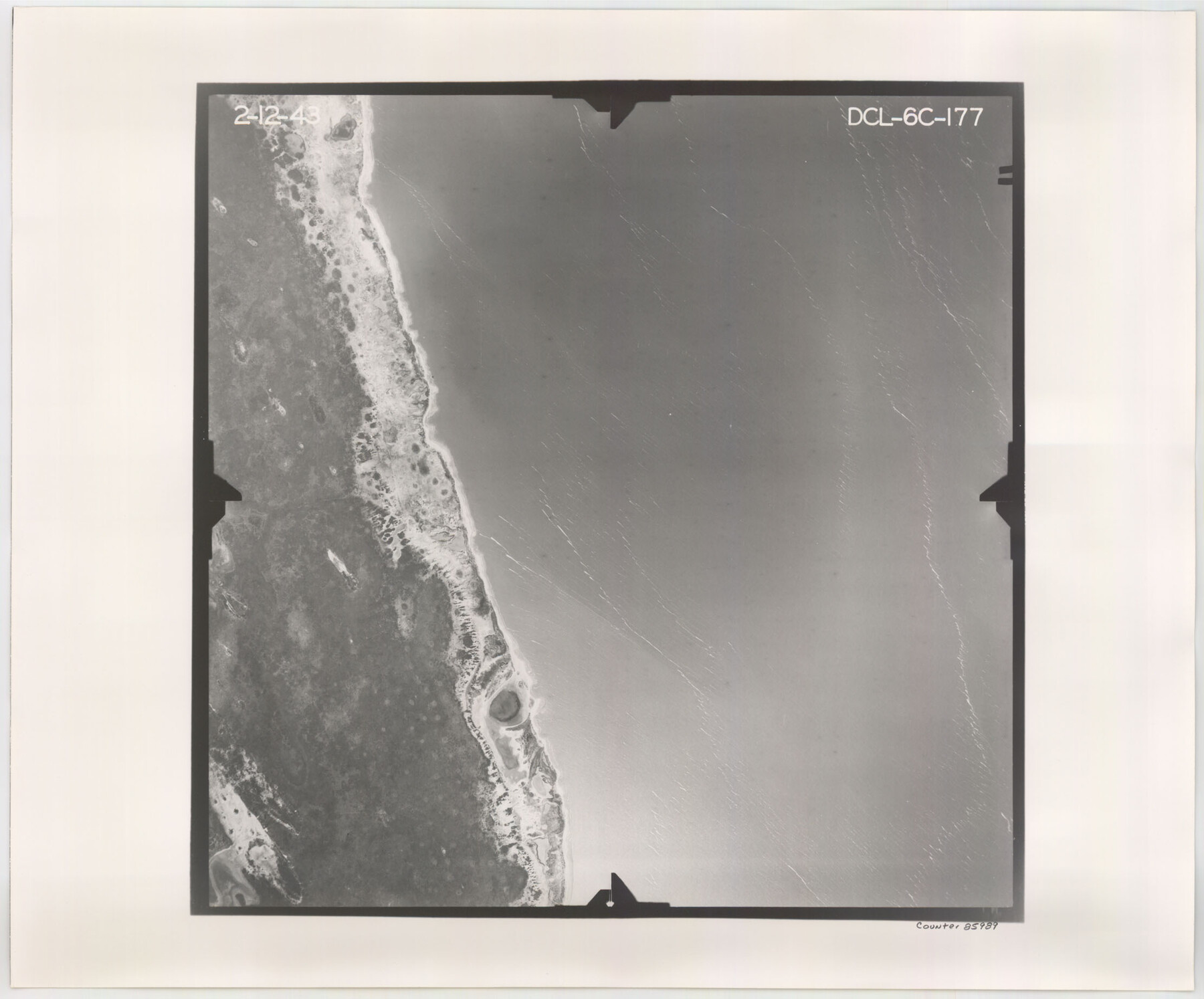
Flight Mission No. DCL-6C, Frame 177, Kenedy County
DCL-6C-177
-
Map/Doc
85989
-
Collection
General Map Collection
-
Object Dates
1943/2/12 (Creation Date)
-
People and Organizations
U. S. Department of Agriculture (Publisher)
-
Counties
Kenedy
-
Subjects
Aerial Photograph
-
Height x Width
18.5 x 22.2 inches
47.0 x 56.4 cm
-
Comments
Flown by Aerial Surveys of Pittsburgh, Inc. of Pittsburgh, Pennsylvania.
Part of: General Map Collection
Hays County Boundary File 42

Print $6.00
- Digital $50.00
Hays County Boundary File 42
Size 9.1 x 3.7 inches
Map/Doc 54609
Tarrant County Working Sketch 19

Print $20.00
- Digital $50.00
Tarrant County Working Sketch 19
1999
Size 11.8 x 18.1 inches
Map/Doc 62436
Medina County Rolled Sketch 22

Print $20.00
- Digital $50.00
Medina County Rolled Sketch 22
2007
Size 24.5 x 18.4 inches
Map/Doc 88849
Edwards County Sketch File 16b

Print $56.00
- Digital $50.00
Edwards County Sketch File 16b
1907
Size 9.4 x 8.7 inches
Map/Doc 21722
Flight Mission No. CRC-2R, Frame 181, Chambers County

Print $20.00
- Digital $50.00
Flight Mission No. CRC-2R, Frame 181, Chambers County
1956
Size 18.7 x 22.4 inches
Map/Doc 84759
Gaines County Rolled Sketch 6

Print $20.00
- Digital $50.00
Gaines County Rolled Sketch 6
1913
Size 30.5 x 45.4 inches
Map/Doc 5927
Brewster County Sketch File NS-8

Print $311.00
- Digital $50.00
Brewster County Sketch File NS-8
Size 15.0 x 9.1 inches
Map/Doc 15999
Hardin County Working Sketch 35

Print $20.00
- Digital $50.00
Hardin County Working Sketch 35
1981
Size 17.2 x 14.6 inches
Map/Doc 63433
Louisiana and Texas Intracoastal Waterway, Section 7, Galveston Bay to Brazos River and Section 8, Brazos River to Matagorda Bay

Print $20.00
- Digital $50.00
Louisiana and Texas Intracoastal Waterway, Section 7, Galveston Bay to Brazos River and Section 8, Brazos River to Matagorda Bay
1928
Size 31.3 x 42.7 inches
Map/Doc 73065
Coke County Sketch File 36

Print $24.00
- Digital $50.00
Coke County Sketch File 36
1918
Size 14.1 x 8.5 inches
Map/Doc 18652
McMullen County Working Sketch 4

Print $20.00
- Digital $50.00
McMullen County Working Sketch 4
1922
Size 36.2 x 36.6 inches
Map/Doc 70705
Neel's Creek of North Bosque

Print $2.00
- Digital $50.00
Neel's Creek of North Bosque
1847
Size 8.9 x 7.9 inches
Map/Doc 69755
You may also like
Levelland, Hockley County, Texas

Print $20.00
- Digital $50.00
Levelland, Hockley County, Texas
1950
Size 13.1 x 14.9 inches
Map/Doc 92241
Dimmit County Rolled Sketch 8

Print $20.00
- Digital $50.00
Dimmit County Rolled Sketch 8
1941
Size 30.0 x 29.6 inches
Map/Doc 5718
Part of Garza, Crosby, Lynn, and Lubbock Counties

Print $20.00
- Digital $50.00
Part of Garza, Crosby, Lynn, and Lubbock Counties
Size 25.3 x 20.2 inches
Map/Doc 91300
[Texas Boundary Line]
![92069, [Texas Boundary Line], Twichell Survey Records](https://historictexasmaps.com/wmedia_w700/maps/92069-1.tif.jpg)
Print $20.00
- Digital $50.00
[Texas Boundary Line]
Size 31.8 x 18.1 inches
Map/Doc 92069
Stonewall County Working Sketch 10

Print $20.00
- Digital $50.00
Stonewall County Working Sketch 10
1950
Size 16.8 x 22.8 inches
Map/Doc 62317
Chambers County Working Sketch 22

Print $20.00
- Digital $50.00
Chambers County Working Sketch 22
1978
Size 29.2 x 35.7 inches
Map/Doc 68005
[Santa Rosa Leagues, Brooks & Kenedy Counties, Texas]
![10774, [Santa Rosa Leagues, Brooks & Kenedy Counties, Texas], Maddox Collection](https://historictexasmaps.com/wmedia_w700/maps/10774.tif.jpg)
Print $20.00
- Digital $50.00
[Santa Rosa Leagues, Brooks & Kenedy Counties, Texas]
Size 21.0 x 24.6 inches
Map/Doc 10774
Kent County Sketch File 10

Print $42.00
- Digital $50.00
Kent County Sketch File 10
1924
Size 22.1 x 35.5 inches
Map/Doc 11914
Zavala County Working Sketch 29

Print $20.00
- Digital $50.00
Zavala County Working Sketch 29
1994
Size 33.1 x 42.9 inches
Map/Doc 62104
Sectional map of Texas traversed by the Missouri, Kansas & Texas Railway, showing the crops adapted to each section, with the elevation and annual rainfall

Print $20.00
- Digital $50.00
Sectional map of Texas traversed by the Missouri, Kansas & Texas Railway, showing the crops adapted to each section, with the elevation and annual rainfall
1908
Size 21.8 x 22.8 inches
Map/Doc 95817
Edwards County Working Sketch 4

Print $20.00
- Digital $50.00
Edwards County Working Sketch 4
Size 28.7 x 28.3 inches
Map/Doc 68880
Haskell County Rolled Sketch 9

Print $20.00
- Digital $50.00
Haskell County Rolled Sketch 9
Size 16.4 x 34.3 inches
Map/Doc 6168