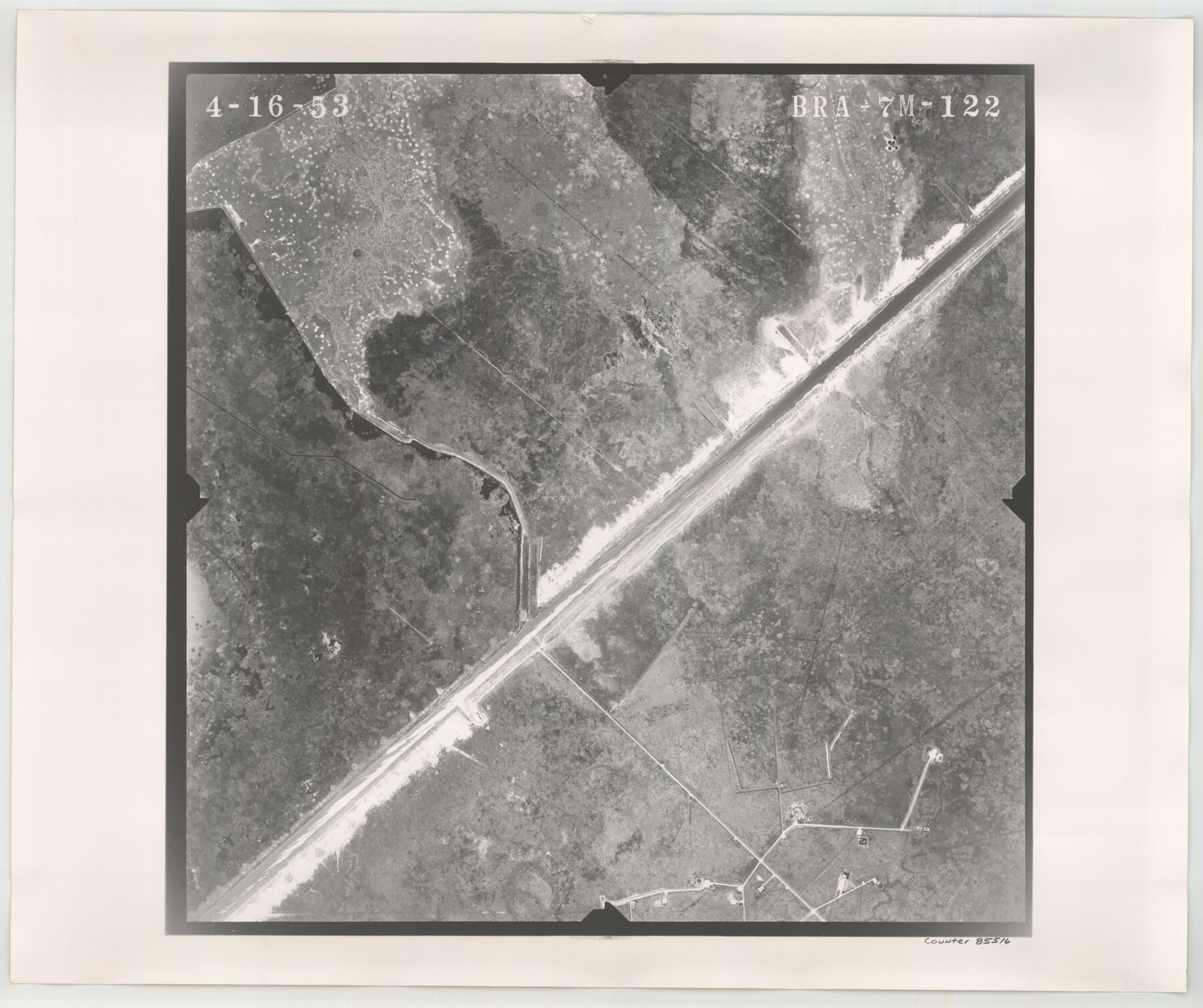
Flight Mission No. BRA-7M, Frame 122, Jefferson County
BRA-7M-122
-
Map/Doc
85516
-
Collection
General Map Collection
-
Object Dates
1953/4/16 (Creation Date)
-
People and Organizations
U. S. Department of Agriculture (Publisher)
-
Counties
Jefferson
-
Subjects
Aerial Photograph
-
Height x Width
18.7 x 22.3 inches
47.5 x 56.6 cm
-
Comments
Flown by Jack Ammann Photogrammetric Engineers of San Antonio, Texas.
Part of: General Map Collection
Concho County Rolled Sketch 11

Print $20.00
- Digital $50.00
Concho County Rolled Sketch 11
1957
Size 29.5 x 34.5 inches
Map/Doc 5569
[Sketch for M-12871 to M-13240 - Presidio County]
![65650, [Sketch for M-12871 to M-13240 - Presidio County], General Map Collection](https://historictexasmaps.com/wmedia_w700/maps/65650.tif.jpg)
Print $20.00
- Digital $50.00
[Sketch for M-12871 to M-13240 - Presidio County]
1927
Size 30.6 x 33.0 inches
Map/Doc 65650
Township No. 5 South Range No. 12 West of the Indian Meridian

Print $4.00
- Digital $50.00
Township No. 5 South Range No. 12 West of the Indian Meridian
1875
Size 18.1 x 22.6 inches
Map/Doc 75159
Hunt County Sketch File 29

Print $4.00
- Digital $50.00
Hunt County Sketch File 29
Size 7.4 x 7.8 inches
Map/Doc 27130
Brewster County Rolled Sketch 17

Print $40.00
- Digital $50.00
Brewster County Rolled Sketch 17
Size 25.1 x 63.4 inches
Map/Doc 5195
Morris County

Print $20.00
- Digital $50.00
Morris County
1906
Size 44.1 x 22.4 inches
Map/Doc 66944
Harris County

Print $40.00
- Digital $50.00
Harris County
1896
Size 44.4 x 69.3 inches
Map/Doc 66857
Harris County Rolled Sketch 61

Print $20.00
- Digital $50.00
Harris County Rolled Sketch 61
1928
Size 25.7 x 26.8 inches
Map/Doc 6107
Wilbarger Co.

Print $40.00
- Digital $50.00
Wilbarger Co.
1949
Size 48.2 x 39.2 inches
Map/Doc 63128
[Missouri, Kansas & Texas Line Map through Bastrop County]
![64032, [Missouri, Kansas & Texas Line Map through Bastrop County], General Map Collection](https://historictexasmaps.com/wmedia_w700/maps/64032.tif.jpg)
Print $40.00
- Digital $50.00
[Missouri, Kansas & Texas Line Map through Bastrop County]
1916
Size 25.4 x 106.0 inches
Map/Doc 64032
Map of Burleson County

Print $20.00
- Digital $50.00
Map of Burleson County
1856
Size 22.0 x 31.5 inches
Map/Doc 3345

You may also like
Van Zandt County Boundary File 90

Print $10.00
- Digital $50.00
Van Zandt County Boundary File 90
Size 9.5 x 4.0 inches
Map/Doc 59650
Orange County Working Sketch 27

Print $20.00
- Digital $50.00
Orange County Working Sketch 27
1953
Size 31.0 x 22.9 inches
Map/Doc 71359
[Map of Texas and Pacific Blocks from Brazos River westward through Palo Pinto, Stephens, Shackelford, Jones, Callahan, Taylor, Fisher, Nolan and Mitchell Counties]
![93457, [Map of Texas and Pacific Blocks from Brazos River westward through Palo Pinto, Stephens, Shackelford, Jones, Callahan, Taylor, Fisher, Nolan and Mitchell Counties], General Map Collection](https://historictexasmaps.com/wmedia_w700/maps/93457-1.tif.jpg)
Print $20.00
- Digital $50.00
[Map of Texas and Pacific Blocks from Brazos River westward through Palo Pinto, Stephens, Shackelford, Jones, Callahan, Taylor, Fisher, Nolan and Mitchell Counties]
Size 35.0 x 19.3 inches
Map/Doc 93457
Laguna Madre from Lone Palmetto Triangulation Station to Gum Pen Triangulation Station

Print $40.00
- Digital $50.00
Laguna Madre from Lone Palmetto Triangulation Station to Gum Pen Triangulation Station
1881
Size 33.1 x 54.7 inches
Map/Doc 73495
Township 3 South Range 12 West, South Western District, Louisiana

Print $20.00
- Digital $50.00
Township 3 South Range 12 West, South Western District, Louisiana
1879
Size 19.5 x 24.8 inches
Map/Doc 65883
Right of Way and Track Map, the Missouri, Kansas and Texas Ry. of Texas - Henrietta Division

Print $20.00
- Digital $50.00
Right of Way and Track Map, the Missouri, Kansas and Texas Ry. of Texas - Henrietta Division
1918
Size 11.8 x 26.8 inches
Map/Doc 64751
Runnels County Sketch File 17

Print $6.00
Runnels County Sketch File 17
Size 11.0 x 13.6 inches
Map/Doc 35474
Fisher County Working Sketch 9

Print $20.00
- Digital $50.00
Fisher County Working Sketch 9
1947
Size 18.1 x 17.9 inches
Map/Doc 69143
Flight Mission No. CRC-1R, Frame 38, Chambers County

Print $20.00
- Digital $50.00
Flight Mission No. CRC-1R, Frame 38, Chambers County
1956
Size 18.7 x 22.4 inches
Map/Doc 84706
Flight Mission No. BRA-16M, Frame 95, Jefferson County

Print $20.00
- Digital $50.00
Flight Mission No. BRA-16M, Frame 95, Jefferson County
1953
Size 18.5 x 22.2 inches
Map/Doc 85707
Tarrant County Working Sketch 12

Print $20.00
- Digital $50.00
Tarrant County Working Sketch 12
1986
Size 30.8 x 23.4 inches
Map/Doc 62429
[Strip between Block 8 and Block K4]
![90525, [Strip between Block 8 and Block K4], Twichell Survey Records](https://historictexasmaps.com/wmedia_w700/maps/90525-1.tif.jpg)
Print $2.00
- Digital $50.00
[Strip between Block 8 and Block K4]
Size 5.7 x 7.5 inches
Map/Doc 90525