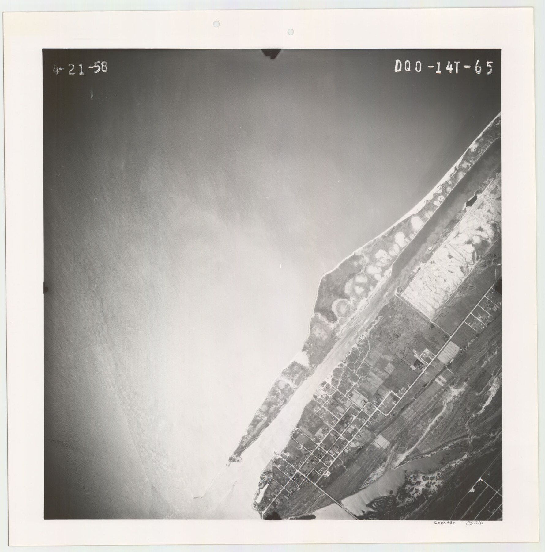
Flight Mission No. DQO-14T, Frame 65, Galveston County
DQO-14T-65
-
Map/Doc
85216
-
Collection
General Map Collection
-
Object Dates
1958/4/21 (Creation Date)
-
People and Organizations
U. S. Department of Agriculture (Publisher)
-
Counties
Galveston
-
Subjects
Aerial Photograph
-
Height x Width
17.6 x 17.4 inches
44.7 x 44.2 cm
Part of: General Map Collection
Blanco County Working Sketch 42

Print $20.00
- Digital $50.00
Blanco County Working Sketch 42
1986
Size 35.1 x 30.7 inches
Map/Doc 67402
Flight Mission No. DAG-21K, Frame 130, Matagorda County

Print $20.00
- Digital $50.00
Flight Mission No. DAG-21K, Frame 130, Matagorda County
1952
Size 18.5 x 22.4 inches
Map/Doc 86456
Blanco County Sketch File 46

Print $4.00
- Digital $50.00
Blanco County Sketch File 46
Size 12.5 x 8.4 inches
Map/Doc 14673
Map of Hale County

Print $40.00
- Digital $50.00
Map of Hale County
1900
Size 49.3 x 41.0 inches
Map/Doc 4691

Frio County Sketch File 3

Print $4.00
- Digital $50.00
Frio County Sketch File 3
1854
Size 8.5 x 3.6 inches
Map/Doc 23109
Jones County Sketch File 10

Print $20.00
- Digital $50.00
Jones County Sketch File 10
1875
Size 14.3 x 22.2 inches
Map/Doc 11900
Young County Sketch File 14

Print $20.00
- Digital $50.00
Young County Sketch File 14
1895
Size 10.9 x 27.3 inches
Map/Doc 12712
Marion County Working Sketch 43

Print $5.00
- Digital $50.00
Marion County Working Sketch 43
2002
Size 28.6 x 29.0 inches
Map/Doc 78214
Flight Mission No. CRC-4R, Frame 66, Chambers County

Print $20.00
- Digital $50.00
Flight Mission No. CRC-4R, Frame 66, Chambers County
1956
Size 18.6 x 22.5 inches
Map/Doc 84870
Stonewall County Sketch File 25

Print $7.00
- Digital $50.00
Stonewall County Sketch File 25
1952
Size 26.7 x 43.3 inches
Map/Doc 10375
Texas City Heights being a subdivision of the east half of the Robert Logan one third league, Galveston County, Texas

Print $20.00
- Digital $50.00
Texas City Heights being a subdivision of the east half of the Robert Logan one third league, Galveston County, Texas
1895
Size 22.4 x 17.3 inches
Map/Doc 95356
You may also like
Map of Coleman County

Print $40.00
- Digital $50.00
Map of Coleman County
1897
Size 49.9 x 34.2 inches
Map/Doc 4741
Sketch showing subdivision of surveys in Webb Co., Texas

Print $20.00
- Digital $50.00
Sketch showing subdivision of surveys in Webb Co., Texas
1933
Size 18.2 x 20.1 inches
Map/Doc 459
Anderson County Working Sketch 1

Print $20.00
- Digital $50.00
Anderson County Working Sketch 1
Size 24.0 x 19.3 inches
Map/Doc 67000
A Topographical Map of The Government Tract Adjoining the City of Austin

Print $20.00
- Digital $50.00
A Topographical Map of The Government Tract Adjoining the City of Austin
1840
Size 44.5 x 36.0 inches
Map/Doc 82031
Brazoria County NRC Article 33.136 Sketch 5

Print $22.00
- Digital $50.00
Brazoria County NRC Article 33.136 Sketch 5
2003
Size 24.2 x 35.4 inches
Map/Doc 80124
[Sketch for Mineral Application 13439 - Bed Lost Lake, Walle Merritt]
![65577, [Sketch for Mineral Application 13439 - Bed Lost Lake, Walle Merritt], General Map Collection](https://historictexasmaps.com/wmedia_w700/maps/65577.tif.jpg)
Print $20.00
- Digital $50.00
[Sketch for Mineral Application 13439 - Bed Lost Lake, Walle Merritt]
1925
Size 31.1 x 29.9 inches
Map/Doc 65577
Jeff Davis County Working Sketch 9

Print $20.00
- Digital $50.00
Jeff Davis County Working Sketch 9
1943
Size 28.5 x 27.3 inches
Map/Doc 66504
Midland County Working Sketch 23

Print $40.00
- Digital $50.00
Midland County Working Sketch 23
1956
Size 45.0 x 75.6 inches
Map/Doc 71004
Wilson County Sketch File 12

Print $8.00
- Digital $50.00
Wilson County Sketch File 12
1841
Size 14.1 x 8.6 inches
Map/Doc 40425
Hutchinson County Sketch File 6

Print $8.00
- Digital $50.00
Hutchinson County Sketch File 6
1890
Size 10.9 x 8.4 inches
Map/Doc 27198
Navigation Maps of Gulf Intracoastal Waterway, Port Arthur to Brownsville, Texas

Print $4.00
- Digital $50.00
Navigation Maps of Gulf Intracoastal Waterway, Port Arthur to Brownsville, Texas
1951
Size 16.7 x 21.4 inches
Map/Doc 65423
Triangulation Net of the United States

Print $20.00
- Digital $50.00
Triangulation Net of the United States
1938
Size 28.1 x 42.2 inches
Map/Doc 3117