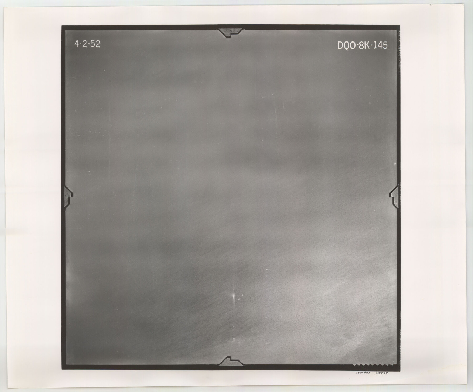
Flight Mission No. DQO-8K, Frame 145, Galveston County
DQO-8K-145
-
Map/Doc
85207
-
Collection
General Map Collection
-
Object Dates
1952/4/2 (Creation Date)
-
People and Organizations
U. S. Department of Agriculture (Publisher)
-
Counties
Galveston
-
Subjects
Aerial Photograph
-
Height x Width
18.6 x 22.5 inches
47.2 x 57.2 cm
-
Comments
Flown by Aero Exploration Company of Tulsa, Oklahoma.
Part of: General Map Collection
Kenedy County Rolled Sketch 8

Print $20.00
- Digital $50.00
Kenedy County Rolled Sketch 8
1915
Size 19.0 x 30.6 inches
Map/Doc 6468
Matagorda County Rolled Sketch 19

Print $20.00
- Digital $50.00
Matagorda County Rolled Sketch 19
1918
Size 13.0 x 16.6 inches
Map/Doc 6687
Map from Corpus Christi to Matagorda Bays, Texas [Inset: Survey of the channel of Copono Bay]
![72975, Map from Corpus Christi to Matagorda Bays, Texas [Inset: Survey of the channel of Copono Bay], General Map Collection](https://historictexasmaps.com/wmedia_w700/maps/72975.tif.jpg)
Print $20.00
- Digital $50.00
Map from Corpus Christi to Matagorda Bays, Texas [Inset: Survey of the channel of Copono Bay]
1846
Size 18.3 x 27.4 inches
Map/Doc 72975
Galveston County Working Sketch 14

Print $20.00
- Digital $50.00
Galveston County Working Sketch 14
1978
Size 33.6 x 40.4 inches
Map/Doc 69351
Garza County Sketch File C2

Print $6.00
- Digital $50.00
Garza County Sketch File C2
1900
Size 10.3 x 8.4 inches
Map/Doc 24019
Sutton County Working Sketch 5

Print $20.00
- Digital $50.00
Sutton County Working Sketch 5
1969
Size 25.4 x 33.4 inches
Map/Doc 62348
Floyd County Sketch File 28

Print $20.00
- Digital $50.00
Floyd County Sketch File 28
Size 17.4 x 18.6 inches
Map/Doc 11487
Pecos County Rolled Sketch 123

Print $20.00
- Digital $50.00
Pecos County Rolled Sketch 123
Size 20.3 x 25.4 inches
Map/Doc 7264
Nueces County Rolled Sketch 113A

Print $20.00
- Digital $50.00
Nueces County Rolled Sketch 113A
1972
Size 18.6 x 23.3 inches
Map/Doc 7122
Upton County Working Sketch 39

Print $20.00
- Digital $50.00
Upton County Working Sketch 39
1958
Size 25.4 x 30.1 inches
Map/Doc 69535
San Jacinto County Working Sketch 35

Print $20.00
- Digital $50.00
San Jacinto County Working Sketch 35
1955
Size 31.3 x 32.1 inches
Map/Doc 63748
Parker County Working Sketch 2

Print $20.00
- Digital $50.00
Parker County Working Sketch 2
1920
Map/Doc 71452
You may also like
Gaines County Sketch File 14

Print $20.00
- Digital $50.00
Gaines County Sketch File 14
1954
Size 23.4 x 32.1 inches
Map/Doc 11525
[Sketch Showing Loma Blanca and San Antonio de Encinal Leagues, Brooks County, Texas]
![4448, [Sketch Showing Loma Blanca and San Antonio de Encinal Leagues, Brooks County, Texas], Maddox Collection](https://historictexasmaps.com/wmedia_w700/maps/4448-1.tif.jpg)
Print $3.00
- Digital $50.00
[Sketch Showing Loma Blanca and San Antonio de Encinal Leagues, Brooks County, Texas]
1912
Size 15.1 x 11.4 inches
Map/Doc 4448
Map of Moser Ranch, Bowie County, Texas

Print $20.00
- Digital $50.00
Map of Moser Ranch, Bowie County, Texas
Size 29.0 x 27.4 inches
Map/Doc 73558
Hunt County Sketch File 34a

Print $4.00
- Digital $50.00
Hunt County Sketch File 34a
1873
Size 8.0 x 10.1 inches
Map/Doc 27146
Haskell County Rolled Sketch 11

Print $20.00
- Digital $50.00
Haskell County Rolled Sketch 11
1983
Size 23.0 x 28.0 inches
Map/Doc 6170
Concho County Sketch File 20

Print $20.00
- Digital $50.00
Concho County Sketch File 20
Size 17.0 x 18.2 inches
Map/Doc 11154
Angelina County Sketch File 5a

Print $4.00
- Digital $50.00
Angelina County Sketch File 5a
1857
Size 8.6 x 7.7 inches
Map/Doc 12931
Plat of Fee Land Adjoining the Town of Lovington, New Mexico

Print $20.00
- Digital $50.00
Plat of Fee Land Adjoining the Town of Lovington, New Mexico
Size 24.2 x 18.4 inches
Map/Doc 92422
Floyd County Rolled Sketch 5

Print $20.00
- Digital $50.00
Floyd County Rolled Sketch 5
1892
Size 27.2 x 18.7 inches
Map/Doc 5880
Morris County

Print $20.00
- Digital $50.00
Morris County
1906
Size 46.4 x 22.3 inches
Map/Doc 66943
Kimble County Working Sketch 88

Print $6.00
- Digital $50.00
Kimble County Working Sketch 88
1976
Size 31.5 x 30.8 inches
Map/Doc 70156
[Capitol Leagues 217, 218, 219 and 220]
![91460, [Capitol Leagues 217, 218, 219 and 220], Twichell Survey Records](https://historictexasmaps.com/wmedia_w700/maps/91460-1.tif.jpg)
Print $20.00
- Digital $50.00
[Capitol Leagues 217, 218, 219 and 220]
Size 23.2 x 10.3 inches
Map/Doc 91460