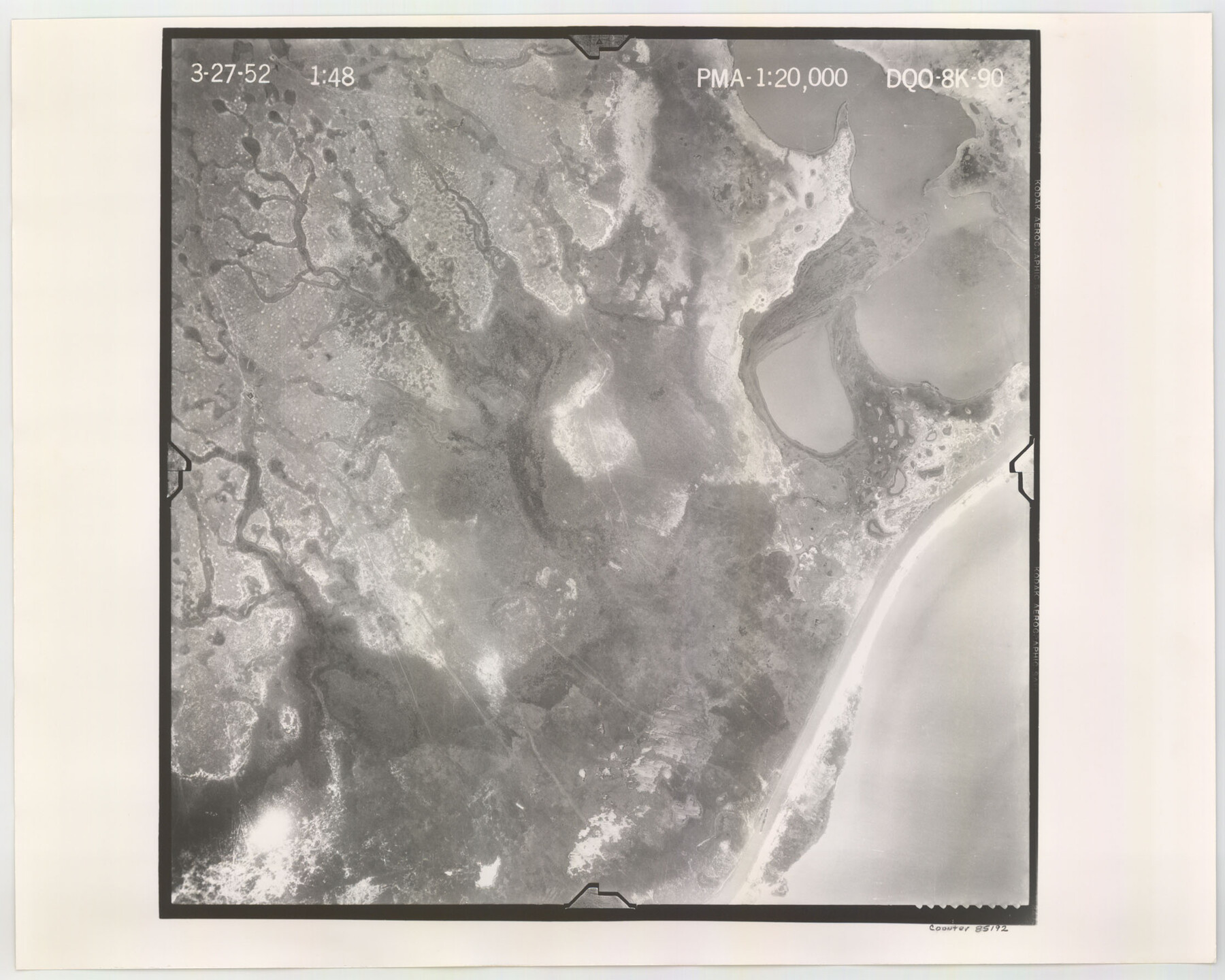
Flight Mission No. DQO-8K, Frame 90, Galveston County
DQO-8K-90
-
Map/Doc
85192
-
Collection
General Map Collection
-
Object Dates
1952/3/27 (Creation Date)
-
People and Organizations
U. S. Department of Agriculture (Publisher)
-
Counties
Galveston
-
Subjects
Aerial Photograph
-
Height x Width
17.9 x 22.3 inches
45.5 x 56.6 cm
-
Comments
Flown by Aero Exploration Company of Tulsa, Oklahoma.
Part of: General Map Collection
Hunt County Rolled Sketch 5

Print $20.00
- Digital $50.00
Hunt County Rolled Sketch 5
1956
Size 28.6 x 24.3 inches
Map/Doc 6268
Flight Mission No. DQN-5K, Frame 148, Calhoun County

Print $20.00
- Digital $50.00
Flight Mission No. DQN-5K, Frame 148, Calhoun County
1953
Size 18.6 x 21.9 inches
Map/Doc 84423
Bee County Sketch File 2a

Print $6.00
- Digital $50.00
Bee County Sketch File 2a
1847
Size 7.9 x 13.0 inches
Map/Doc 14356
Louisiana and Texas Intracoastal Waterway

Print $20.00
- Digital $50.00
Louisiana and Texas Intracoastal Waterway
1929
Size 13.9 x 19.3 inches
Map/Doc 83343
Intracoastal Waterway, Houma, LA to Corpus Christi, TX

Print $20.00
- Digital $50.00
Intracoastal Waterway, Houma, LA to Corpus Christi, TX
Size 18.9 x 27.9 inches
Map/Doc 61906
Dawson County Sketch File 5

Print $38.00
- Digital $50.00
Dawson County Sketch File 5
1924
Size 13.4 x 8.9 inches
Map/Doc 20509
Potter County Boundary File 3a

Print $4.00
- Digital $50.00
Potter County Boundary File 3a
Size 11.2 x 8.7 inches
Map/Doc 57977
Kinney County Working Sketch 3

Print $20.00
- Digital $50.00
Kinney County Working Sketch 3
Size 20.3 x 17.6 inches
Map/Doc 70185
Anderson County Sketch File 5

Print $6.00
- Digital $50.00
Anderson County Sketch File 5
1856
Size 9.7 x 7.8 inches
Map/Doc 12750
Waller County Working Sketch 4

Print $20.00
- Digital $50.00
Waller County Working Sketch 4
1965
Size 17.3 x 18.8 inches
Map/Doc 72303
Fayette County Working Sketch 6

Print $20.00
- Digital $50.00
Fayette County Working Sketch 6
1981
Size 17.0 x 15.1 inches
Map/Doc 69170
Briscoe County Sketch File 5

Print $40.00
- Digital $50.00
Briscoe County Sketch File 5
Size 29.8 x 26.5 inches
Map/Doc 10994
You may also like
Red River, Bois D'Arc Creek Floodway Sheet No. 7

Print $20.00
- Digital $50.00
Red River, Bois D'Arc Creek Floodway Sheet No. 7
1917
Size 29.0 x 23.8 inches
Map/Doc 69662
Wichita County Sketch File 20

Print $20.00
- Digital $50.00
Wichita County Sketch File 20
Size 12.0 x 22.5 inches
Map/Doc 12683
Current Miscellaneous File 61

Print $4.00
- Digital $50.00
Current Miscellaneous File 61
1956
Size 9.3 x 13.6 inches
Map/Doc 74066
Van Zandt County Sketch File 15a

Print $4.00
- Digital $50.00
Van Zandt County Sketch File 15a
1858
Size 6.7 x 8.1 inches
Map/Doc 39406
Map of Young County East of the Main Brazos River formerly Fannin and West of it Milam Land District

Print $20.00
- Digital $50.00
Map of Young County East of the Main Brazos River formerly Fannin and West of it Milam Land District
1859
Size 23.3 x 20.2 inches
Map/Doc 4173
Pecos County Sketch File 18

Print $32.00
- Digital $50.00
Pecos County Sketch File 18
1884
Size 24.5 x 9.6 inches
Map/Doc 12159
Presidio County Rolled Sketch 85

Print $20.00
- Digital $50.00
Presidio County Rolled Sketch 85
1930
Size 28.3 x 27.3 inches
Map/Doc 7371

Sectional map of Texas traversed by the Missouri, Kansas & Texas Railway, showing the crops adapted to each section, with the elevation and annual rainfall

Print $20.00
- Digital $50.00
Sectional map of Texas traversed by the Missouri, Kansas & Texas Railway, showing the crops adapted to each section, with the elevation and annual rainfall
1908
Size 21.8 x 22.8 inches
Map/Doc 95817
Leon County, Texas

Print $20.00
- Digital $50.00
Leon County, Texas
1879
Size 25.6 x 22.3 inches
Map/Doc 563
[Copy of a portion of] The Coast & Bays of Western Texas, St. Joseph's and Mustang Islands from Actual Survey, the Remainder from County Maps, Etc.
![72768, [Copy of a portion of] The Coast & Bays of Western Texas, St. Joseph's and Mustang Islands from Actual Survey, the Remainder from County Maps, Etc., General Map Collection](https://historictexasmaps.com/wmedia_w700/maps/72768.tif.jpg)
Print $20.00
- Digital $50.00
[Copy of a portion of] The Coast & Bays of Western Texas, St. Joseph's and Mustang Islands from Actual Survey, the Remainder from County Maps, Etc.
1857
Size 26.0 x 18.3 inches
Map/Doc 72768
Real County Rolled Sketch 18

Print $20.00
- Digital $50.00
Real County Rolled Sketch 18
Size 22.0 x 28.0 inches
Map/Doc 7464