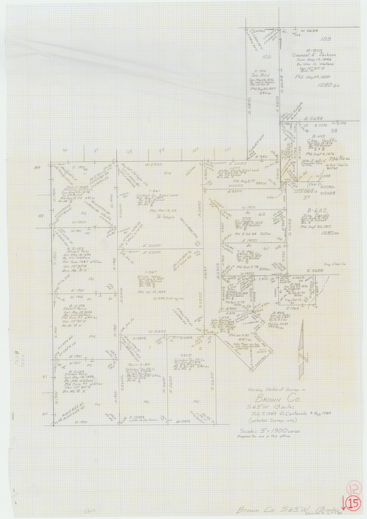
Brown County Working Sketch 15
-
Map/Doc
67780
-
Collection
General Map Collection
-
Object Dates
7/7/1989 (Creation Date)
-
Counties
Brown
-
Subjects
Surveying Working Sketch
-
Height x Width
23.6 x 16.7 inches
59.9 x 42.4 cm
-
Scale
3" = 1900 varas
Part of: General Map Collection
Flight Mission No. DCL-7C, Frame 149, Kenedy County

Print $20.00
- Digital $50.00
Flight Mission No. DCL-7C, Frame 149, Kenedy County
1943
Size 18.7 x 22.5 inches
Map/Doc 86106
Laguna Madre, Register No. 1477A

Print $40.00
- Digital $50.00
Laguna Madre, Register No. 1477A
1880
Size 34.3 x 56.0 inches
Map/Doc 73606
Austin County Working Sketch 8

Print $20.00
- Digital $50.00
Austin County Working Sketch 8
1992
Size 28.7 x 31.6 inches
Map/Doc 67249
Amistad International Reservoir on Rio Grande 72a

Print $20.00
- Digital $50.00
Amistad International Reservoir on Rio Grande 72a
1949
Size 28.3 x 39.6 inches
Map/Doc 73361
Edwards County Working Sketch 13

Print $20.00
- Digital $50.00
Edwards County Working Sketch 13
1922
Size 18.3 x 18.4 inches
Map/Doc 68889
Wood County Sketch File 4

Print $4.00
- Digital $50.00
Wood County Sketch File 4
1855
Size 10.2 x 8.1 inches
Map/Doc 40635
Jeff Davis County Rolled Sketch 33

Print $20.00
- Digital $50.00
Jeff Davis County Rolled Sketch 33
1986
Size 39.8 x 30.6 inches
Map/Doc 6379
Dimmit County Rolled Sketch 19

Print $20.00
- Digital $50.00
Dimmit County Rolled Sketch 19
1990
Size 45.4 x 41.7 inches
Map/Doc 8799
Map of the United States, the British Provinces, Mexico &c. Showing the Routes of the U.S. Mail Steam Packets to California and a Plan of the Gold Region

Print $20.00
- Digital $50.00
Map of the United States, the British Provinces, Mexico &c. Showing the Routes of the U.S. Mail Steam Packets to California and a Plan of the Gold Region
1849
Size 19.6 x 26.6 inches
Map/Doc 95695
Duval County Rolled Sketch 45

Print $20.00
- Digital $50.00
Duval County Rolled Sketch 45
1982
Size 36.3 x 24.5 inches
Map/Doc 5760
Kimble County Working Sketch 10

Print $20.00
- Digital $50.00
Kimble County Working Sketch 10
1921
Size 14.7 x 15.5 inches
Map/Doc 70078
Palo Pinto County Sketch File 1

Print $20.00
- Digital $50.00
Palo Pinto County Sketch File 1
Size 18.8 x 23.5 inches
Map/Doc 12131
You may also like
The Republic County of Liberty. January 20, 1841

Print $20.00
The Republic County of Liberty. January 20, 1841
2020
Size 19.9 x 21.7 inches
Map/Doc 96209
Austin County Boundary File 4

Print $10.00
- Digital $50.00
Austin County Boundary File 4
Size 14.1 x 8.6 inches
Map/Doc 50244
Oldham County Working Sketch 9

Print $20.00
- Digital $50.00
Oldham County Working Sketch 9
1982
Size 33.3 x 37.2 inches
Map/Doc 71331
Flight Mission No. BRA-16M, Frame 68, Jefferson County

Print $20.00
- Digital $50.00
Flight Mission No. BRA-16M, Frame 68, Jefferson County
1953
Size 18.7 x 22.4 inches
Map/Doc 85685
Morris County Working Sketch 1

Print $20.00
- Digital $50.00
Morris County Working Sketch 1
1948
Size 31.2 x 28.0 inches
Map/Doc 71200
Township 1 South Range 11 West, South Western District, Louisiana

Print $20.00
- Digital $50.00
Township 1 South Range 11 West, South Western District, Louisiana
1881
Size 19.7 x 24.8 inches
Map/Doc 65879
Crane County Rolled Sketch 5

Print $20.00
- Digital $50.00
Crane County Rolled Sketch 5
1927
Size 38.4 x 45.7 inches
Map/Doc 8677
Crockett County Sketch File 27

Print $10.00
- Digital $50.00
Crockett County Sketch File 27
1883
Size 9.1 x 14.5 inches
Map/Doc 19717
[Sketch of F.R. Lehmann surveys on the Rio Grande]
![554, [Sketch of F.R. Lehmann surveys on the Rio Grande], Maddox Collection](https://historictexasmaps.com/wmedia_w700/maps/554.tif.jpg)
Print $20.00
- Digital $50.00
[Sketch of F.R. Lehmann surveys on the Rio Grande]
Size 14.7 x 16.8 inches
Map/Doc 554
Atascosa County Sketch File 16a

Print $4.00
- Digital $50.00
Atascosa County Sketch File 16a
1878
Size 12.7 x 8.2 inches
Map/Doc 13781

Harris County Sketch File 101

Print $104.00
- Digital $50.00
Harris County Sketch File 101
1991
Size 11.3 x 8.9 inches
Map/Doc 25873