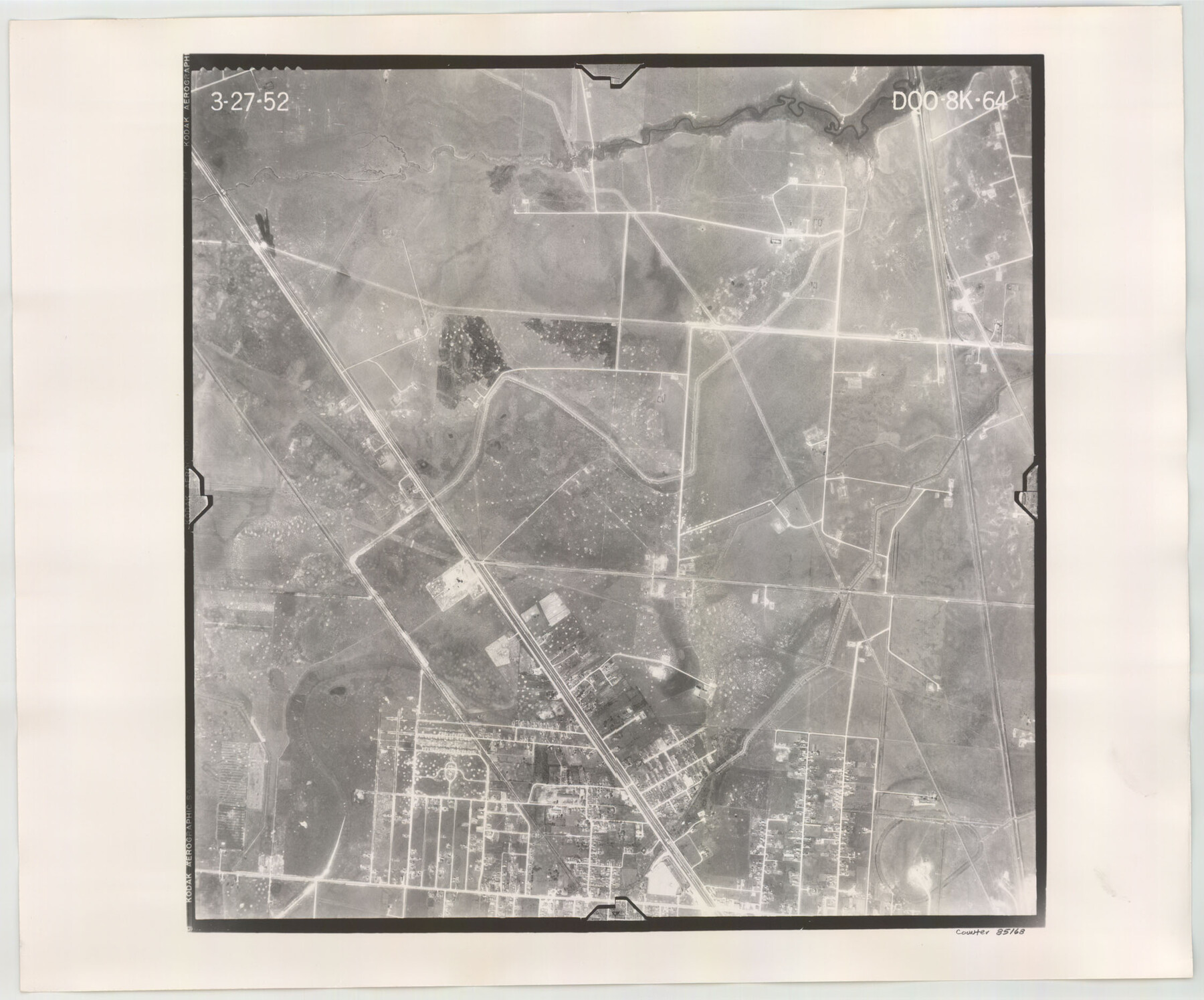
Flight Mission No. DQO-8K, Frame 64, Galveston County
DQO-8K-64
-
Map/Doc
85168
-
Collection
General Map Collection
-
Object Dates
1952/3/27 (Creation Date)
-
People and Organizations
U. S. Department of Agriculture (Publisher)
-
Counties
Galveston
-
Subjects
Aerial Photograph
-
Height x Width
18.6 x 22.4 inches
47.2 x 56.9 cm
-
Comments
Flown by Aero Exploration Company of Tulsa, Oklahoma.
Part of: General Map Collection
Flight Mission No. CUI-1H, Frame 169, Milam County

Print $20.00
- Digital $50.00
Flight Mission No. CUI-1H, Frame 169, Milam County
1951
Size 18.7 x 22.6 inches
Map/Doc 86611
Flight Mission No. BRA-17M, Frame 5, Jefferson County

Print $20.00
- Digital $50.00
Flight Mission No. BRA-17M, Frame 5, Jefferson County
1953
Size 18.7 x 22.4 inches
Map/Doc 85785
Polk County Working Sketch 42

Print $20.00
- Digital $50.00
Polk County Working Sketch 42
1992
Size 30.8 x 35.7 inches
Map/Doc 71659
Menard County Working Sketch 10

Print $20.00
- Digital $50.00
Menard County Working Sketch 10
1938
Size 21.8 x 18.5 inches
Map/Doc 70957
Right of Way Track Map, Wichita Falls & Southern Railroad Company

Print $40.00
- Digital $50.00
Right of Way Track Map, Wichita Falls & Southern Railroad Company
1942
Size 24.5 x 56.1 inches
Map/Doc 64514
Pecos County Sketch File 28a

Print $20.00
- Digital $50.00
Pecos County Sketch File 28a
Size 24.3 x 26.6 inches
Map/Doc 12169
Gray County Sketch File 14

Print $4.00
- Digital $50.00
Gray County Sketch File 14
1946
Size 11.3 x 8.9 inches
Map/Doc 24457
Brewster County Working Sketch 18

Print $20.00
- Digital $50.00
Brewster County Working Sketch 18
1934
Size 35.9 x 37.8 inches
Map/Doc 67552
Crosby County Sketch File 13 and 14

Print $44.00
- Digital $50.00
Crosby County Sketch File 13 and 14
1904
Size 9.0 x 8.6 inches
Map/Doc 20058

Flight Mission No. CUG-3P, Frame 140, Kleberg County

Print $20.00
- Digital $50.00
Flight Mission No. CUG-3P, Frame 140, Kleberg County
1956
Size 18.7 x 22.3 inches
Map/Doc 86275
Lamar County Sketch File 6

Print $40.00
- Digital $50.00
Lamar County Sketch File 6
Size 16.2 x 13.4 inches
Map/Doc 29286
You may also like
Duval County Sketch File 78

Print $2.00
- Digital $50.00
Duval County Sketch File 78
1984
Size 14.5 x 8.9 inches
Map/Doc 21468
Coast Chart No. 210 Aransas Pass and Corpus Christi Bay with the coast to latitude 27° 12' Texas

Print $20.00
- Digital $50.00
Coast Chart No. 210 Aransas Pass and Corpus Christi Bay with the coast to latitude 27° 12' Texas
1887
Size 26.6 x 18.3 inches
Map/Doc 72809
Amistad International Reservoir on Rio Grande 102

Print $20.00
- Digital $50.00
Amistad International Reservoir on Rio Grande 102
1950
Size 28.5 x 41.2 inches
Map/Doc 75533
Pecos County Sketch File 18

Print $32.00
- Digital $50.00
Pecos County Sketch File 18
1884
Size 24.5 x 9.6 inches
Map/Doc 12159
Zapata County Working Sketch 23

Print $20.00
- Digital $50.00
Zapata County Working Sketch 23
1982
Size 45.8 x 42.9 inches
Map/Doc 62074
Kendall County Sketch File 27

Print $6.00
- Digital $50.00
Kendall County Sketch File 27
1950
Size 12.4 x 10.9 inches
Map/Doc 28731
Map of Comal County

Print $20.00
- Digital $50.00
Map of Comal County
1897
Size 40.4 x 46.3 inches
Map/Doc 4917
Maps of Gulf Intracoastal Waterway, Texas - Sabine River to the Rio Grande and connecting waterways including ship channels

Print $20.00
- Digital $50.00
Maps of Gulf Intracoastal Waterway, Texas - Sabine River to the Rio Grande and connecting waterways including ship channels
1966
Size 14.6 x 22.2 inches
Map/Doc 61955
Nueces County Rolled Sketch 80

Print $58.00
Nueces County Rolled Sketch 80
1982
Size 24.2 x 36.7 inches
Map/Doc 6952
Webb County Working Sketch 12

Print $20.00
- Digital $50.00
Webb County Working Sketch 12
1921
Size 15.9 x 14.6 inches
Map/Doc 72377
Flight Mission No. DIX-10P, Frame 69, Aransas County

Print $20.00
- Digital $50.00
Flight Mission No. DIX-10P, Frame 69, Aransas County
1956
Size 18.8 x 22.4 inches
Map/Doc 83930
J No. 5 - Reconnaissance of San Clemente Harbor, California / Reconnaissance of Prisoner's Harbor, California / Reconnaissance of Cuyler's Harbor, Island of San Miguel, California

Print $20.00
- Digital $50.00
J No. 5 - Reconnaissance of San Clemente Harbor, California / Reconnaissance of Prisoner's Harbor, California / Reconnaissance of Cuyler's Harbor, Island of San Miguel, California
1852
Size 19.2 x 16.5 inches
Map/Doc 97234