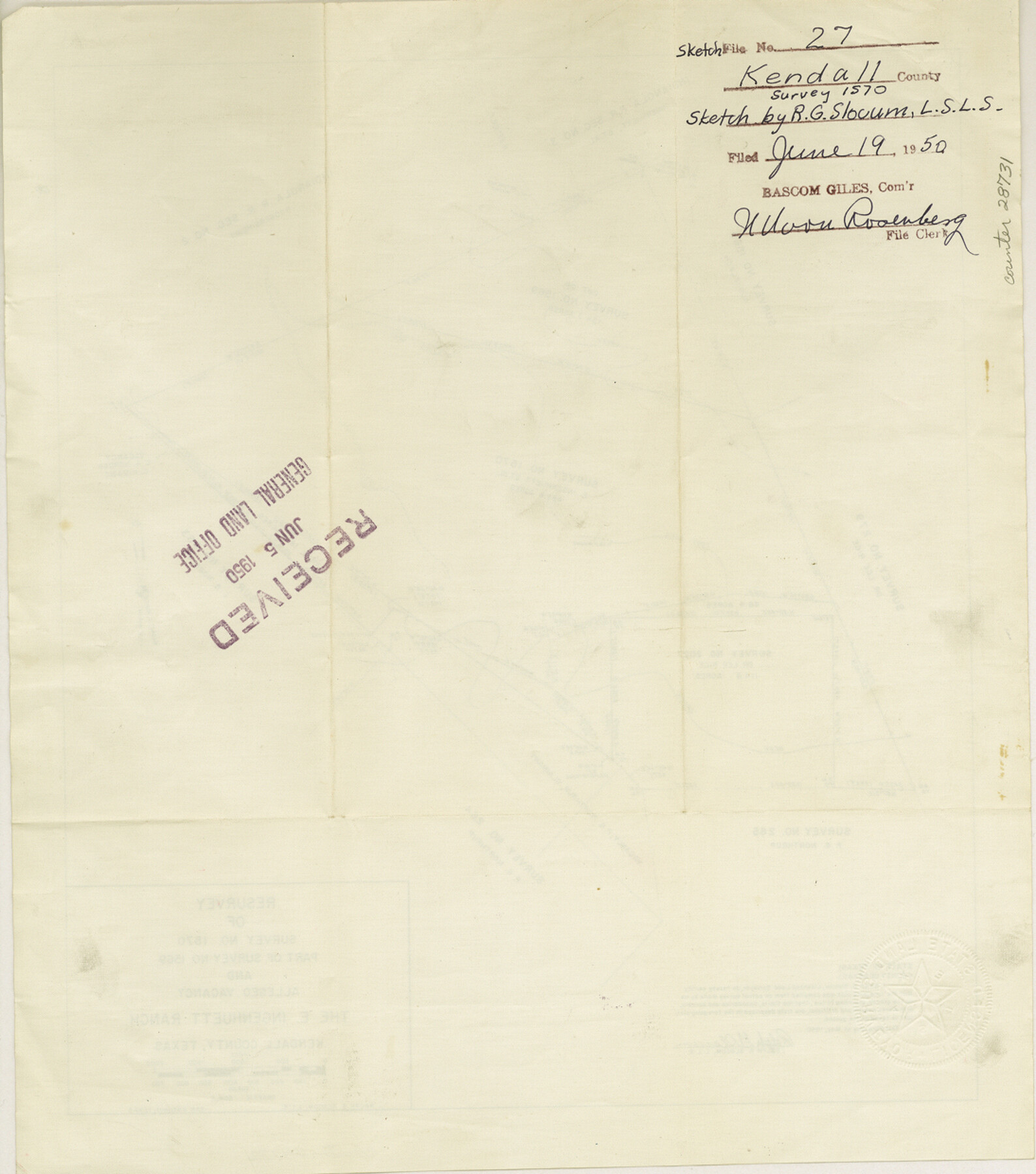
Kendall County Sketch File 27
[Sketch of Ingenhuett Ranch - survey no. 1570, part of survey 1569 and alleged vacancy]
-
Map/Doc
28731
-
Collection
General Map Collection
-
Object Dates
5/23/1950 (Creation Date)
6/19/1950 (File Date)
-
People and Organizations
Ralph G. Slocum (Surveyor/Engineer)
-
Counties
Kendall
-
Subjects
Surveying Sketch File
-
Height x Width
12.4 x 10.9 inches
31.5 x 27.7 cm
-
Medium
blueprint/diazo
-
Features
Foot Trrail
Deep Creek
E. Ingenhuett Ranch
Part of: General Map Collection
Oldham County Boundary File 1

Print $6.00
- Digital $50.00
Oldham County Boundary File 1
Size 8.8 x 7.2 inches
Map/Doc 57731
Jim Hogg County Sketch File 3

Print $6.00
- Digital $50.00
Jim Hogg County Sketch File 3
1926
Size 11.0 x 8.6 inches
Map/Doc 28401
Kaufman County Sketch File 10a

Print $20.00
- Digital $50.00
Kaufman County Sketch File 10a
1871
Size 18.3 x 14.6 inches
Map/Doc 11906
Harrison County Sketch File 10

Print $4.00
- Digital $50.00
Harrison County Sketch File 10
Size 7.7 x 8.0 inches
Map/Doc 26050
Map of San Patricio County

Print $40.00
- Digital $50.00
Map of San Patricio County
1896
Size 31.6 x 51.2 inches
Map/Doc 63018
Leon County Working Sketch 19

Print $20.00
- Digital $50.00
Leon County Working Sketch 19
1962
Size 31.2 x 31.4 inches
Map/Doc 70418
Fort Bend County Sketch File 33

Print $20.00
- Digital $50.00
Fort Bend County Sketch File 33
1889
Size 23.6 x 24.5 inches
Map/Doc 11513
Reagan County

Print $40.00
- Digital $50.00
Reagan County
1940
Size 50.5 x 37.7 inches
Map/Doc 78430
Schleicher County Sketch File 23a

Print $4.00
- Digital $50.00
Schleicher County Sketch File 23a
1937
Size 11.3 x 8.8 inches
Map/Doc 36514
Parker County Sketch File 31

Print $6.00
- Digital $50.00
Parker County Sketch File 31
1877
Size 9.9 x 9.8 inches
Map/Doc 33572
Duval County Working Sketch 30

Print $20.00
- Digital $50.00
Duval County Working Sketch 30
1950
Size 29.1 x 33.5 inches
Map/Doc 68754
Flight Mission No. DIX-10P, Frame 147, Aransas County

Print $20.00
- Digital $50.00
Flight Mission No. DIX-10P, Frame 147, Aransas County
1956
Size 18.7 x 22.4 inches
Map/Doc 83949
You may also like
Gillespie County Working Sketch 3

Print $20.00
- Digital $50.00
Gillespie County Working Sketch 3
1960
Size 23.0 x 21.7 inches
Map/Doc 63166
Swearingen Township situated in Cottle County, Texas

Print $20.00
- Digital $50.00
Swearingen Township situated in Cottle County, Texas
Size 26.4 x 15.7 inches
Map/Doc 4437
Brewster County Working Sketch 87

Print $40.00
- Digital $50.00
Brewster County Working Sketch 87
1973
Size 37.4 x 56.6 inches
Map/Doc 67687
Throckmorton County Sketch File 4

Print $40.00
- Digital $50.00
Throckmorton County Sketch File 4
Size 15.1 x 15.2 inches
Map/Doc 38054
Red River County Working Sketch 81-4

Print $20.00
- Digital $50.00
Red River County Working Sketch 81-4
1987
Size 21.8 x 16.7 inches
Map/Doc 72067
Edwards County Sketch File 12b

Print $4.00
- Digital $50.00
Edwards County Sketch File 12b
Size 14.4 x 8.8 inches
Map/Doc 21698
Llano County Sketch File 15

Print $2.00
- Digital $50.00
Llano County Sketch File 15
Size 10.4 x 7.7 inches
Map/Doc 30391
Travis County Rolled Sketch 55

Print $40.00
- Digital $50.00
Travis County Rolled Sketch 55
Size 43.1 x 50.5 inches
Map/Doc 10020
Northwest Part Pecos County

Print $20.00
- Digital $50.00
Northwest Part Pecos County
1975
Size 42.2 x 42.2 inches
Map/Doc 77395
Right of Way and Track Map, Galveston, Harrisburg & San Antonio Ry. operated by the T. & N. O. R.R. Co., Victoria Division, Rosenberg to Beeville

Print $40.00
- Digital $50.00
Right of Way and Track Map, Galveston, Harrisburg & San Antonio Ry. operated by the T. & N. O. R.R. Co., Victoria Division, Rosenberg to Beeville
1918
Size 24.4 x 57.9 inches
Map/Doc 76158
Stonewall County

Print $20.00
- Digital $50.00
Stonewall County
1882
Size 27.8 x 20.8 inches
Map/Doc 4059
Duval County Boundary File 3m

Print $8.00
- Digital $50.00
Duval County Boundary File 3m
Size 12.8 x 8.1 inches
Map/Doc 52763