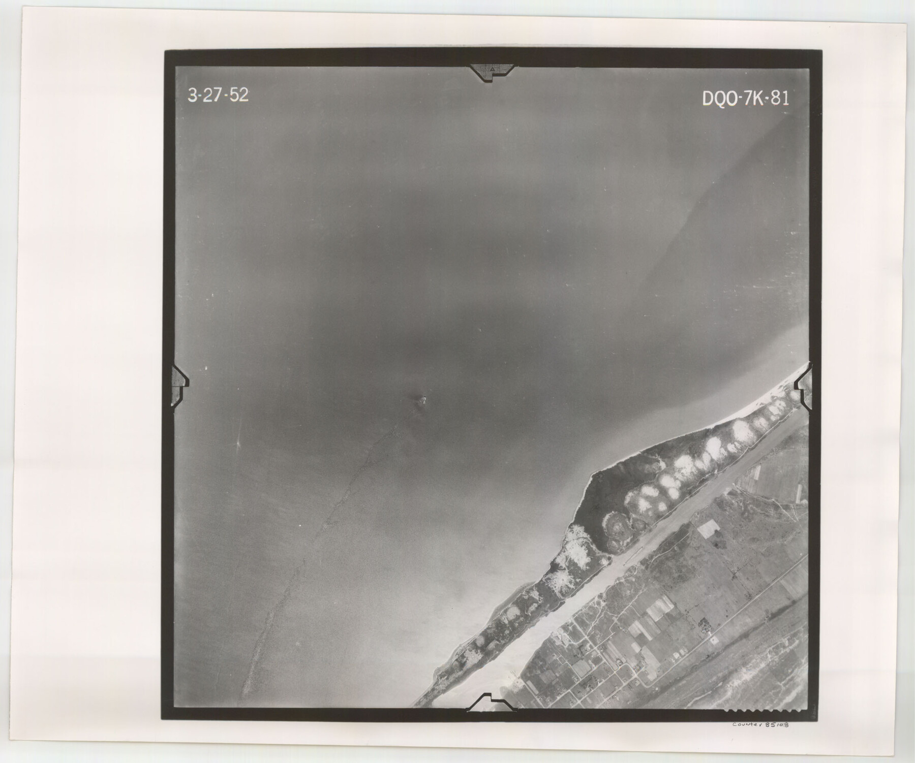
Flight Mission No. DQO-7K, Frame 81, Galveston County
DQO-7K-81
-
Map/Doc
85108
-
Collection
General Map Collection
-
Object Dates
1952/3/27 (Creation Date)
-
People and Organizations
U. S. Department of Agriculture (Publisher)
-
Counties
Galveston
-
Subjects
Aerial Photograph
-
Height x Width
18.8 x 22.6 inches
47.8 x 57.4 cm
-
Comments
Flown by Aero Exploration Company of Tulsa, Oklahoma.
Part of: General Map Collection
Fort Bend County Working Sketch 27

Print $20.00
- Digital $50.00
Fort Bend County Working Sketch 27
1982
Size 17.2 x 19.2 inches
Map/Doc 69233
Texas Aerial Photo-Illustrated Map

Texas Aerial Photo-Illustrated Map
Size 21.3 x 28.3 inches
Map/Doc 94397
Cooke County Sketch File 38 1/2

Print $20.00
- Digital $50.00
Cooke County Sketch File 38 1/2
Size 21.5 x 16.6 inches
Map/Doc 11175
Parker County Boundary File 1

Print $6.00
- Digital $50.00
Parker County Boundary File 1
Size 11.2 x 8.7 inches
Map/Doc 57833
Nueces County Working Sketch 8

Print $20.00
- Digital $50.00
Nueces County Working Sketch 8
1965
Size 20.3 x 23.8 inches
Map/Doc 71310
Webb County Rolled Sketch 79

Print $20.00
- Digital $50.00
Webb County Rolled Sketch 79
2020
Size 35.7 x 24.9 inches
Map/Doc 95916
Archer County Sketch File 20

Print $6.00
- Digital $50.00
Archer County Sketch File 20
1936
Size 11.0 x 8.7 inches
Map/Doc 13655
Plat showing proposed counties to be taken from Zapata, Starr & Hidalgo Counties

Print $20.00
- Digital $50.00
Plat showing proposed counties to be taken from Zapata, Starr & Hidalgo Counties
1911
Size 24.8 x 27.0 inches
Map/Doc 2478
Menard County Boundary File 4

Print $12.00
- Digital $50.00
Menard County Boundary File 4
Size 10.9 x 8.6 inches
Map/Doc 57076
Liberty County Working Sketch 28

Print $20.00
- Digital $50.00
Liberty County Working Sketch 28
1942
Size 22.4 x 23.2 inches
Map/Doc 70487
Wharton County Working Sketch 12

Print $20.00
- Digital $50.00
Wharton County Working Sketch 12
1970
Size 22.3 x 30.3 inches
Map/Doc 72476
Liberty County Working Sketch 22

Print $20.00
- Digital $50.00
Liberty County Working Sketch 22
1941
Size 19.6 x 26.1 inches
Map/Doc 70481
You may also like
Newton County Sketch File 24

Print $4.00
- Digital $50.00
Newton County Sketch File 24
1881
Size 8.4 x 8.1 inches
Map/Doc 32405
Travis County

Print $40.00
- Digital $50.00
Travis County
1936
Size 46.4 x 54.8 inches
Map/Doc 63076
Flight Mission No. CRC-3R, Frame 105, Chambers County

Print $20.00
- Digital $50.00
Flight Mission No. CRC-3R, Frame 105, Chambers County
1956
Size 18.8 x 22.4 inches
Map/Doc 84843
[Notes and rough sketch of survey 6, Block 16 and survey 19 1/2, Block 19]
![93053, [Notes and rough sketch of survey 6, Block 16 and survey 19 1/2, Block 19], Twichell Survey Records](https://historictexasmaps.com/wmedia_w700/maps/93053-1.tif.jpg)
Print $20.00
- Digital $50.00
[Notes and rough sketch of survey 6, Block 16 and survey 19 1/2, Block 19]
Size 23.8 x 11.8 inches
Map/Doc 93053
[John W. Carpenter and Surrounding Surveys]
![91085, [John W. Carpenter and Surrounding Surveys], Twichell Survey Records](https://historictexasmaps.com/wmedia_w700/maps/91085-1.tif.jpg)
Print $20.00
- Digital $50.00
[John W. Carpenter and Surrounding Surveys]
1922
Size 17.7 x 29.6 inches
Map/Doc 91085
Map of Texas with population and location of principal towns and cities according to latest reliable statistics

Print $20.00
- Digital $50.00
Map of Texas with population and location of principal towns and cities according to latest reliable statistics
1908
Size 18.6 x 20.5 inches
Map/Doc 95872
Johnson County Sketch File 25

Print $50.00
- Digital $50.00
Johnson County Sketch File 25
Size 13.9 x 8.3 inches
Map/Doc 28459
Upshur County Rolled Sketch 4

Print $20.00
- Digital $50.00
Upshur County Rolled Sketch 4
1972
Size 25.4 x 37.9 inches
Map/Doc 8063
Clay County Sketch File 49

Print $78.00
- Digital $50.00
Clay County Sketch File 49
1928
Size 14.2 x 8.8 inches
Map/Doc 18500
Bosque County Sketch File 34

Print $20.00
- Digital $50.00
Bosque County Sketch File 34
1856
Size 25.2 x 18.7 inches
Map/Doc 78486
Flight Mission No. CRC-2R, Frame 111, Chambers County

Print $20.00
- Digital $50.00
Flight Mission No. CRC-2R, Frame 111, Chambers County
1956
Size 18.4 x 22.3 inches
Map/Doc 84738
Current Miscellaneous File 83

Print $2.00
- Digital $50.00
Current Miscellaneous File 83
1936
Size 8.3 x 10.6 inches
Map/Doc 74226