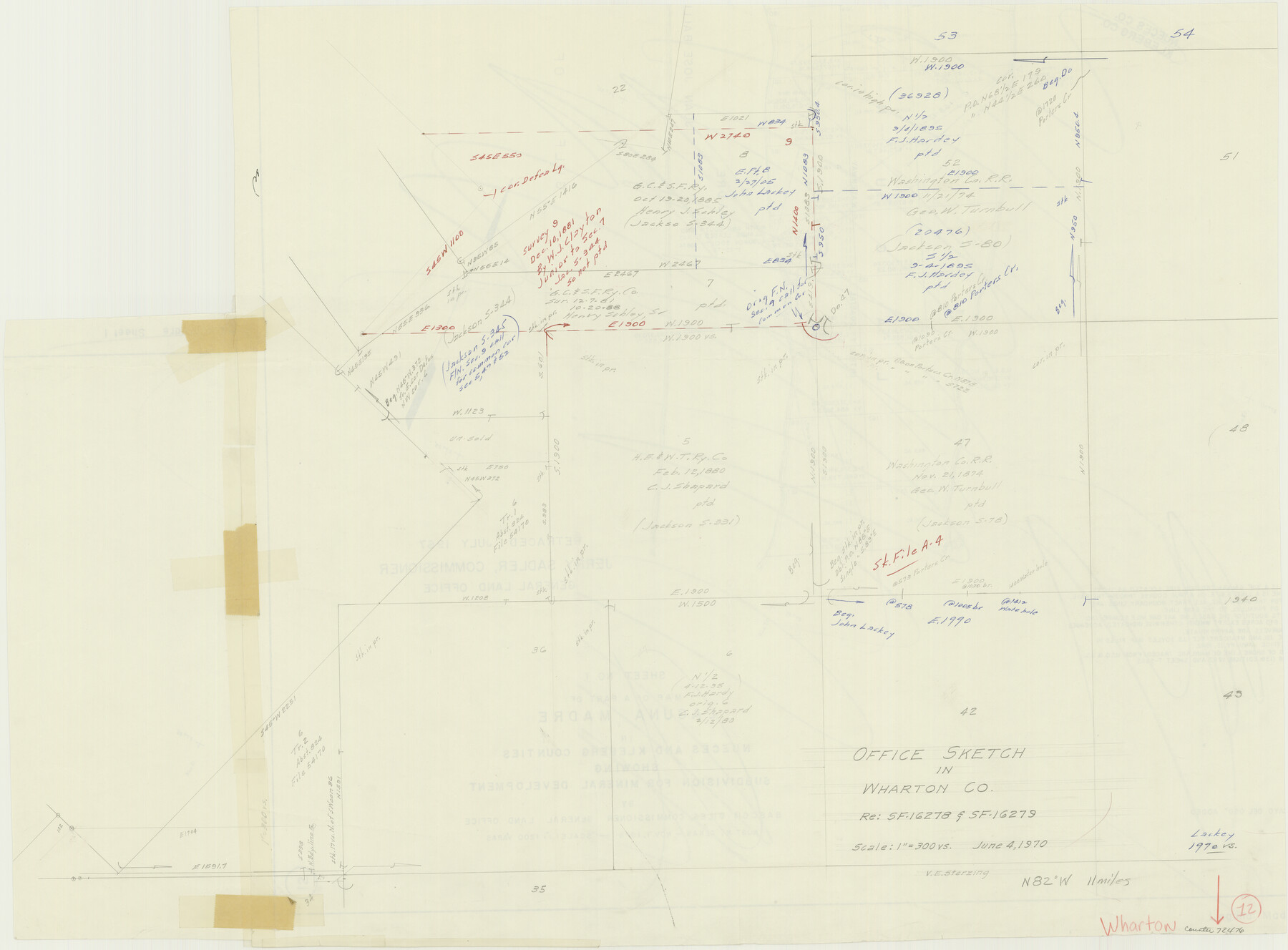
Wharton County Working Sketch 12
-
Map/Doc
72476
-
Collection
General Map Collection
-
Object Dates
6/4/1970 (Creation Date)
-
People and Organizations
Victor E. Sterzing (Draftsman)
-
Counties
Wharton
-
Subjects
Surveying Working Sketch
-
Height x Width
22.3 x 30.3 inches
56.6 x 77.0 cm
-
Scale
1" = 300 varas
Part of: General Map Collection
Hudspeth County Working Sketch 58

Print $40.00
- Digital $50.00
Hudspeth County Working Sketch 58
1992
Size 25.6 x 50.9 inches
Map/Doc 66343
Jefferson County Sketch File 9

Print $40.00
- Digital $50.00
Jefferson County Sketch File 9
1860
Size 12.6 x 15.2 inches
Map/Doc 28123
Denton County Sketch File 9

Print $6.00
- Digital $50.00
Denton County Sketch File 9
1856
Size 8.6 x 13.3 inches
Map/Doc 20705
La Salle County Working Sketch 53

Print $20.00
- Digital $50.00
La Salle County Working Sketch 53
Size 14.3 x 15.9 inches
Map/Doc 67362
Coke County Working Sketch 9

Print $20.00
- Digital $50.00
Coke County Working Sketch 9
1927
Size 23.9 x 30.3 inches
Map/Doc 68046
Post Route Map of Texas (Inset 1: Dallas-Fort Worth Area; Inset 2: Texas Panhandle)

Print $40.00
- Digital $50.00
Post Route Map of Texas (Inset 1: Dallas-Fort Worth Area; Inset 2: Texas Panhandle)
1939
Size 56.9 x 39.3 inches
Map/Doc 93668
Goliad County Sketch File 17

Print $12.00
- Digital $50.00
Goliad County Sketch File 17
1851
Size 12.4 x 8.2 inches
Map/Doc 24249
Brazoria County NRC Article 33.136 Sketch 14

Print $36.00
- Digital $50.00
Brazoria County NRC Article 33.136 Sketch 14
2013
Size 24.0 x 36.0 inches
Map/Doc 95057
Hardin County Sketch File 16a

Print $3.00
- Digital $50.00
Hardin County Sketch File 16a
1837
Size 10.4 x 16.0 inches
Map/Doc 25129
Reeves County Working Sketch 23

Print $40.00
- Digital $50.00
Reeves County Working Sketch 23
1966
Size 31.6 x 54.5 inches
Map/Doc 63466
Ward County Boundary File 1

Print $12.00
- Digital $50.00
Ward County Boundary File 1
Size 14.4 x 9.0 inches
Map/Doc 59667
Fannin County Sketch File 17

Print $22.00
- Digital $50.00
Fannin County Sketch File 17
1874
Size 8.0 x 12.9 inches
Map/Doc 22471
You may also like
Palo Pinto County Working Sketch 13

Print $20.00
- Digital $50.00
Palo Pinto County Working Sketch 13
1947
Size 27.4 x 24.2 inches
Map/Doc 71396
Denton County Sketch File 11

Print $4.00
- Digital $50.00
Denton County Sketch File 11
1856
Size 5.1 x 8.6 inches
Map/Doc 20709
Orange County Working Sketch 17

Print $20.00
- Digital $50.00
Orange County Working Sketch 17
1930
Size 35.6 x 26.1 inches
Map/Doc 71349
Map of the Southern Pacific Rail Road through Harrison County, Texas

Print $40.00
- Digital $50.00
Map of the Southern Pacific Rail Road through Harrison County, Texas
1860
Size 26.8 x 76.6 inches
Map/Doc 64140
Wise County Rolled Sketch 2

Print $40.00
- Digital $50.00
Wise County Rolled Sketch 2
1941
Size 58.7 x 44.8 inches
Map/Doc 10155
Uvalde County Working Sketch 14

Print $20.00
- Digital $50.00
Uvalde County Working Sketch 14
1943
Size 13.5 x 16.0 inches
Map/Doc 72084
Newton County Rolled Sketch 22

Print $20.00
- Digital $50.00
Newton County Rolled Sketch 22
1957
Size 20.8 x 28.7 inches
Map/Doc 6849
Burnet County Working Sketch 4

Print $20.00
- Digital $50.00
Burnet County Working Sketch 4
1956
Size 18.3 x 33.1 inches
Map/Doc 67847
Victoria County Working Sketch 3

Print $20.00
- Digital $50.00
Victoria County Working Sketch 3
1939
Size 14.0 x 18.3 inches
Map/Doc 72273
[SE Pt. of Stephens County]
![89639, [SE Pt. of Stephens County], Twichell Survey Records](https://historictexasmaps.com/wmedia_w700/maps/89639-1.tif.jpg)
Print $20.00
- Digital $50.00
[SE Pt. of Stephens County]
Size 38.1 x 35.9 inches
Map/Doc 89639
Freestone County Working Sketch 18

Print $20.00
- Digital $50.00
Freestone County Working Sketch 18
1980
Size 43.3 x 46.9 inches
Map/Doc 69260
Flight Mission No. CRC-2R, Frame 62, Chambers County

Print $20.00
- Digital $50.00
Flight Mission No. CRC-2R, Frame 62, Chambers County
1956
Size 18.6 x 22.5 inches
Map/Doc 84733