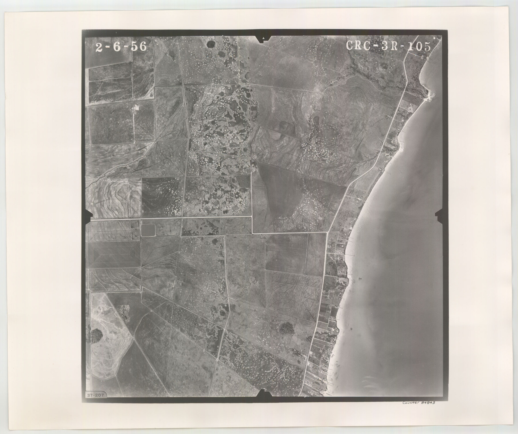
Flight Mission No. CRC-3R, Frame 105, Chambers County
CRC-3R-105
-
Map/Doc
84843
-
Collection
General Map Collection
-
Object Dates
1956/2/6 (Creation Date)
-
People and Organizations
U. S. Department of Agriculture (Publisher)
-
Counties
Chambers
-
Subjects
Aerial Photograph
-
Height x Width
18.8 x 22.4 inches
47.8 x 56.9 cm
-
Comments
Flown by Jack Ammann Photogrammetric Engineers, Inc. of San Antonio, Texas.
Part of: General Map Collection
Chambers County Rolled Sketch CL

Print $40.00
- Digital $50.00
Chambers County Rolled Sketch CL
1909
Size 56.2 x 21.0 inches
Map/Doc 8610
Flight Mission No. DIX-5P, Frame 141, Aransas County

Print $20.00
- Digital $50.00
Flight Mission No. DIX-5P, Frame 141, Aransas County
1956
Size 17.8 x 18.4 inches
Map/Doc 83802
Pecos County Rolled Sketch 70A

Print $20.00
- Digital $50.00
Pecos County Rolled Sketch 70A
1929
Size 46.7 x 20.8 inches
Map/Doc 9709
Lampasas County Boundary File 10

Print $11.00
- Digital $50.00
Lampasas County Boundary File 10
Size 12.8 x 7.9 inches
Map/Doc 56184
Matagorda County NRC Article 33.136 Location Key Sheet

Print $20.00
- Digital $50.00
Matagorda County NRC Article 33.136 Location Key Sheet
1995
Size 27.0 x 23.0 inches
Map/Doc 87910
Cherokee County Sketch File 4

Print $7.00
- Digital $50.00
Cherokee County Sketch File 4
1850
Size 10.3 x 8.2 inches
Map/Doc 18117
Flight Mission No. BQY-4M, Frame 69, Harris County

Print $20.00
- Digital $50.00
Flight Mission No. BQY-4M, Frame 69, Harris County
1953
Size 18.6 x 22.4 inches
Map/Doc 85278
Right of Way Map Fort Worth & Denver City Railroad through Hardeman County

Print $40.00
- Digital $50.00
Right of Way Map Fort Worth & Denver City Railroad through Hardeman County
1885
Size 23.8 x 60.4 inches
Map/Doc 64425
Flight Mission No. CRC-3R, Frame 11, Chambers County

Print $20.00
- Digital $50.00
Flight Mission No. CRC-3R, Frame 11, Chambers County
1956
Size 18.7 x 22.4 inches
Map/Doc 84785
Cameron County Rolled Sketch 8

Print $40.00
- Digital $50.00
Cameron County Rolled Sketch 8
1937
Size 42.5 x 54.1 inches
Map/Doc 8565
Marion County Sketch File 9

Print $4.00
- Digital $50.00
Marion County Sketch File 9
Size 9.4 x 7.8 inches
Map/Doc 30577
Parker County Working Sketch 2

Print $20.00
- Digital $50.00
Parker County Working Sketch 2
1920
Map/Doc 71452
You may also like
Aransas County Rolled Sketch 20

Print $20.00
- Digital $50.00
Aransas County Rolled Sketch 20
Size 43.2 x 47.3 inches
Map/Doc 8414

Amistad International Reservoir on Rio Grande 95

Print $20.00
- Digital $50.00
Amistad International Reservoir on Rio Grande 95
1950
Size 28.5 x 40.1 inches
Map/Doc 75525
Map of Kerr County Texas

Print $20.00
- Digital $50.00
Map of Kerr County Texas
1879
Size 20.3 x 28.3 inches
Map/Doc 3763

Jasper County Sketch File 15

Print $6.00
- Digital $50.00
Jasper County Sketch File 15
Size 9.9 x 15.3 inches
Map/Doc 27806
Cameron County Rolled Sketch 25

Print $20.00
- Digital $50.00
Cameron County Rolled Sketch 25
1977
Size 17.5 x 27.5 inches
Map/Doc 5790
Flight Mission No. CLL-3N, Frame 38, Willacy County

Print $20.00
- Digital $50.00
Flight Mission No. CLL-3N, Frame 38, Willacy County
1954
Size 18.6 x 22.2 inches
Map/Doc 87096
United States - Gulf Coast - Galveston to Rio Grande

Print $20.00
- Digital $50.00
United States - Gulf Coast - Galveston to Rio Grande
Size 27.7 x 18.3 inches
Map/Doc 72741
Wilbarger Co.

Print $40.00
- Digital $50.00
Wilbarger Co.
1889
Size 48.8 x 38.4 inches
Map/Doc 63125
Kimble County Rolled Sketch 34

Print $20.00
- Digital $50.00
Kimble County Rolled Sketch 34
1976
Size 35.0 x 20.2 inches
Map/Doc 6524
Smith County Working Sketch 8

Print $20.00
- Digital $50.00
Smith County Working Sketch 8
1941
Size 28.9 x 22.7 inches
Map/Doc 63893