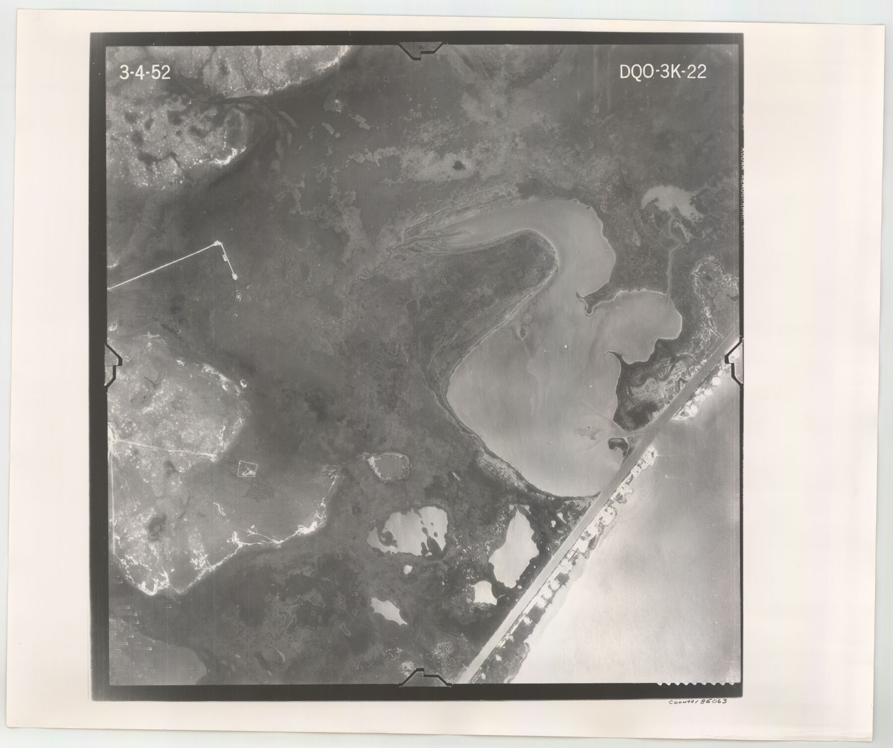
Flight Mission No. DQO-3K, Frame 22, Galveston County
DQO-3K-22
-
Map/Doc
85063
-
Collection
General Map Collection
-
Object Dates
1952/3/4 (Creation Date)
-
People and Organizations
U. S. Department of Agriculture (Publisher)
-
Counties
Galveston
-
Subjects
Aerial Photograph
-
Height x Width
18.8 x 22.5 inches
47.8 x 57.2 cm
-
Comments
Flown by Aero Exploration Company of Tulsa, Oklahoma.
Part of: General Map Collection

Flight Mission No. DQO-1K, Frame 41, Galveston County

Print $20.00
- Digital $50.00
Flight Mission No. DQO-1K, Frame 41, Galveston County
1952
Size 18.8 x 22.5 inches
Map/Doc 84984
Chambers County Rolled Sketch 23A

Print $40.00
- Digital $50.00
Chambers County Rolled Sketch 23A
1940
Size 77.1 x 36.0 inches
Map/Doc 8592
Sulphur River, Bassett Sheet

Print $20.00
- Digital $50.00
Sulphur River, Bassett Sheet
1939
Size 24.8 x 32.0 inches
Map/Doc 78322
Duval County Working Sketch 23

Print $20.00
- Digital $50.00
Duval County Working Sketch 23
1943
Size 41.8 x 37.8 inches
Map/Doc 68747
Upton County Rolled Sketch 10

Print $20.00
- Digital $50.00
Upton County Rolled Sketch 10
1911
Size 41.2 x 43.0 inches
Map/Doc 10035
Smith County Sketch File 3

Print $4.00
- Digital $50.00
Smith County Sketch File 3
1853
Size 10.5 x 8.6 inches
Map/Doc 36750
Real County Sketch File 1

Print $6.00
- Digital $50.00
Real County Sketch File 1
1857
Size 8.2 x 9.6 inches
Map/Doc 35035
Flight Mission No. DAG-21K, Frame 118, Matagorda County

Print $20.00
- Digital $50.00
Flight Mission No. DAG-21K, Frame 118, Matagorda County
1952
Size 17.5 x 16.1 inches
Map/Doc 86442
Kendall County Rolled Sketch 6

Print $20.00
- Digital $50.00
Kendall County Rolled Sketch 6
Size 29.6 x 39.4 inches
Map/Doc 6459
Flight Mission No. BRA-7M, Frame 81, Jefferson County

Print $20.00
- Digital $50.00
Flight Mission No. BRA-7M, Frame 81, Jefferson County
1953
Size 16.0 x 15.8 inches
Map/Doc 85503
Upton County Rolled Sketch 19

Print $40.00
- Digital $50.00
Upton County Rolled Sketch 19
1933
Size 55.2 x 40.0 inches
Map/Doc 10040
You may also like
Kaufman County

Print $20.00
- Digital $50.00
Kaufman County
1896
Size 44.0 x 28.0 inches
Map/Doc 3751
Sutton County Working Sketch 58

Print $40.00
- Digital $50.00
Sutton County Working Sketch 58
1958
Size 57.3 x 37.5 inches
Map/Doc 62401
Sutton County Rolled Sketch 63

Print $40.00
- Digital $50.00
Sutton County Rolled Sketch 63
Size 77.0 x 45.2 inches
Map/Doc 9979
Working Sketch in Crockett County

Print $20.00
- Digital $50.00
Working Sketch in Crockett County
1927
Size 25.6 x 22.7 inches
Map/Doc 90304
Flight Mission No. BQR-14K, Frame 40, Brazoria County

Print $20.00
- Digital $50.00
Flight Mission No. BQR-14K, Frame 40, Brazoria County
1952
Size 18.7 x 22.3 inches
Map/Doc 84097
Presidio County Working Sketch 30

Print $20.00
- Digital $50.00
Presidio County Working Sketch 30
1946
Size 32.3 x 40.9 inches
Map/Doc 71707
McMullen County Sketch File 2

Print $22.00
- Digital $50.00
McMullen County Sketch File 2
1849
Size 8.3 x 12.4 inches
Map/Doc 31337
Jeff Davis County Boundary File 1a

Print $8.00
- Digital $50.00
Jeff Davis County Boundary File 1a
Size 14.3 x 8.8 inches
Map/Doc 55501
Edwards County Working Sketch 126

Print $20.00
- Digital $50.00
Edwards County Working Sketch 126
1980
Size 33.5 x 47.0 inches
Map/Doc 69002
University of Texas System University Lands

Print $20.00
- Digital $50.00
University of Texas System University Lands
Size 17.9 x 23.3 inches
Map/Doc 93244
Ward County Working Sketch 17

Print $20.00
- Digital $50.00
Ward County Working Sketch 17
1948
Size 30.1 x 32.5 inches
Map/Doc 72323
Webb County Working Sketch 15

Print $20.00
- Digital $50.00
Webb County Working Sketch 15
1923
Size 18.8 x 30.4 inches
Map/Doc 72380