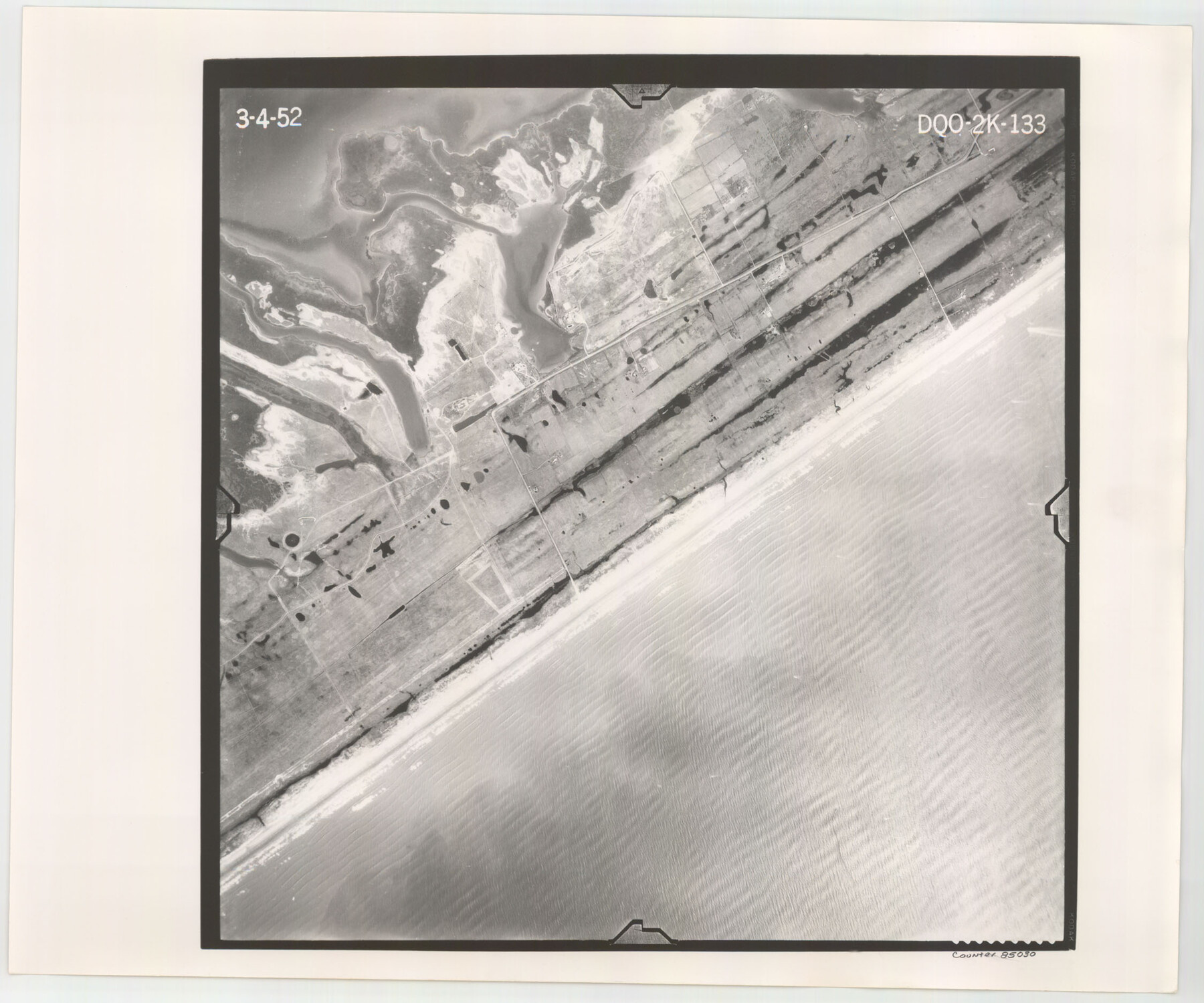
Flight Mission No. DQO-2K, Frame 133, Galveston County
DQO-2K-133
-
Map/Doc
85030
-
Collection
General Map Collection
-
Object Dates
1952/3/4 (Creation Date)
-
People and Organizations
U. S. Department of Agriculture (Publisher)
-
Counties
Galveston
-
Subjects
Aerial Photograph
-
Height x Width
18.7 x 22.5 inches
47.5 x 57.2 cm
-
Comments
Flown by Aero Exploration Company of Tulsa, Oklahoma.
Part of: General Map Collection
Zavala County Sketch File 16

Print $20.00
- Digital $50.00
Zavala County Sketch File 16
1900
Size 22.9 x 16.9 inches
Map/Doc 12730
Map of Coryell County

Print $20.00
- Digital $50.00
Map of Coryell County
1863
Size 23.1 x 27.4 inches
Map/Doc 3443
Schleicher County Sketch File 41

Print $6.00
- Digital $50.00
Schleicher County Sketch File 41
1963
Size 16.2 x 9.9 inches
Map/Doc 36544
Palo Pinto County Sketch File 21

Print $20.00
- Digital $50.00
Palo Pinto County Sketch File 21
1896
Size 18.5 x 17.5 inches
Map/Doc 12133
Coleman County

Print $40.00
- Digital $50.00
Coleman County
1945
Size 54.5 x 35.4 inches
Map/Doc 77241
Motley County

Print $20.00
- Digital $50.00
Motley County
1914
Size 47.7 x 37.4 inches
Map/Doc 10797
Flight Mission No. DCL-6C, Frame 12, Kenedy County

Print $20.00
- Digital $50.00
Flight Mission No. DCL-6C, Frame 12, Kenedy County
1943
Size 18.7 x 22.4 inches
Map/Doc 85869
Sutton County Working Sketch 10

Print $40.00
- Digital $50.00
Sutton County Working Sketch 10
1972
Size 71.0 x 42.9 inches
Map/Doc 62353
Val Verde County Working Sketch 82

Print $20.00
- Digital $50.00
Val Verde County Working Sketch 82
1973
Size 42.1 x 33.1 inches
Map/Doc 72217
Harris County Working Sketch 64

Print $20.00
- Digital $50.00
Harris County Working Sketch 64
1954
Size 32.1 x 26.2 inches
Map/Doc 65956
Colorado County Working Sketch 21

Print $20.00
- Digital $50.00
Colorado County Working Sketch 21
1963
Size 32.1 x 30.5 inches
Map/Doc 68121
Mills County Working Sketch 10

Print $20.00
- Digital $50.00
Mills County Working Sketch 10
1928
Size 29.0 x 22.0 inches
Map/Doc 71040
You may also like
[H. & T. C. Block 47]
![91190, [H. & T. C. Block 47], Twichell Survey Records](https://historictexasmaps.com/wmedia_w700/maps/91190-1.tif.jpg)
Print $20.00
- Digital $50.00
[H. & T. C. Block 47]
1874
Size 21.1 x 12.2 inches
Map/Doc 91190
Rio Grande - Rio Grande Sheet

Print $40.00
- Digital $50.00
Rio Grande - Rio Grande Sheet
1929
Size 53.9 x 27.3 inches
Map/Doc 65105
Hardin County Sketch File 59

Print $6.00
- Digital $50.00
Hardin County Sketch File 59
Size 16.8 x 11.6 inches
Map/Doc 25233
Jones County Working Sketch 2

Print $20.00
- Digital $50.00
Jones County Working Sketch 2
1928
Size 19.9 x 22.2 inches
Map/Doc 66640
Duval County Rolled Sketch 16

Print $20.00
- Digital $50.00
Duval County Rolled Sketch 16
1940
Size 45.3 x 34.8 inches
Map/Doc 8810
McCulloch County Sketch File 14

Print $8.00
- Digital $50.00
McCulloch County Sketch File 14
1990
Size 11.2 x 8.7 inches
Map/Doc 31203

[Office Sketch of Jesse McGee survey in Sabine and Newton Counties]
![543, [Office Sketch of Jesse McGee survey in Sabine and Newton Counties], Maddox Collection](https://historictexasmaps.com/wmedia_w700/maps/543.tif.jpg)
Print $20.00
- Digital $50.00
[Office Sketch of Jesse McGee survey in Sabine and Newton Counties]
1910
Size 13.4 x 15.1 inches
Map/Doc 543
Lee County Working Sketch 15

Print $20.00
- Digital $50.00
Lee County Working Sketch 15
1981
Size 18.4 x 14.0 inches
Map/Doc 70394
Archer County Working Sketch 20

Print $20.00
- Digital $50.00
Archer County Working Sketch 20
1975
Size 31.7 x 24.4 inches
Map/Doc 67161
Anderson County Working Sketch 43

Print $20.00
- Digital $50.00
Anderson County Working Sketch 43
1988
Size 37.2 x 33.9 inches
Map/Doc 67043
Map showing resurvey of Capitol Leagues, Oldham Co., Texas

Print $40.00
- Digital $50.00
Map showing resurvey of Capitol Leagues, Oldham Co., Texas
1918
Size 38.6 x 51.0 inches
Map/Doc 1755