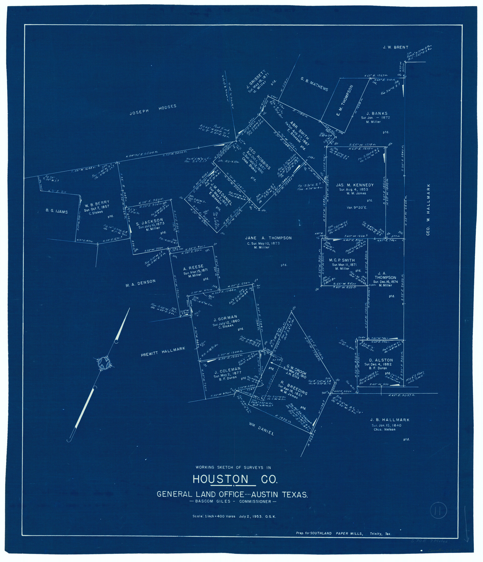
Houston County Working Sketch 11
-
Map/Doc
66241
-
Collection
General Map Collection
-
Object Dates
7/2/1953 (Creation Date)
-
People and Organizations
Otto G. Kurio (Draftsman)
-
Counties
Houston
-
Subjects
Surveying Working Sketch
-
Height x Width
28.5 x 24.5 inches
72.4 x 62.2 cm
-
Scale
1" = 400 varas
Part of: General Map Collection
Hunt County Rolled Sketch 5

Print $20.00
- Digital $50.00
Hunt County Rolled Sketch 5
1966
Size 23.9 x 23.7 inches
Map/Doc 6274
La Salle County Sketch File 39

Print $6.00
- Digital $50.00
La Salle County Sketch File 39
1912
Size 16.4 x 11.4 inches
Map/Doc 29592
Cherokee County Sketch File 27

Print $4.00
- Digital $50.00
Cherokee County Sketch File 27
1852
Size 8.3 x 8.2 inches
Map/Doc 18171
Live Oak County Sketch File 22

Print $20.00
- Digital $50.00
Live Oak County Sketch File 22
Size 17.4 x 9.7 inches
Map/Doc 30299
Scurry County Sketch File 6

Print $14.00
- Digital $50.00
Scurry County Sketch File 6
2002
Size 11.2 x 8.7 inches
Map/Doc 76370
Kinney County Rolled Sketch 19

Print $20.00
- Digital $50.00
Kinney County Rolled Sketch 19
1978
Size 20.7 x 16.8 inches
Map/Doc 6546
Lampasas County Boundary File Index

Print $2.00
- Digital $50.00
Lampasas County Boundary File Index
Size 9.0 x 9.6 inches
Map/Doc 56092
Flight Mission No. DQN-2K, Frame 165, Calhoun County

Print $20.00
- Digital $50.00
Flight Mission No. DQN-2K, Frame 165, Calhoun County
1953
Size 18.5 x 22.3 inches
Map/Doc 84327
Hudspeth County Working Sketch 3

Print $20.00
- Digital $50.00
Hudspeth County Working Sketch 3
1913
Size 20.4 x 17.2 inches
Map/Doc 66284
Goliad County Sketch File 13

Print $8.00
- Digital $50.00
Goliad County Sketch File 13
1856
Size 12.4 x 8.0 inches
Map/Doc 24239
Preliminary Chart of Galveston Bay, Texas

Print $20.00
- Digital $50.00
Preliminary Chart of Galveston Bay, Texas
1855
Size 22.5 x 18.4 inches
Map/Doc 69867
Reeves County

Print $40.00
- Digital $50.00
Reeves County
1945
Size 48.3 x 39.8 inches
Map/Doc 73273
You may also like
Burnet County Sketch File 37

Print $2.00
- Digital $50.00
Burnet County Sketch File 37
1935
Size 10.1 x 8.2 inches
Map/Doc 16754
Flight Mission No. DCL-7C, Frame 55, Kenedy County

Print $20.00
- Digital $50.00
Flight Mission No. DCL-7C, Frame 55, Kenedy County
1943
Size 15.2 x 15.2 inches
Map/Doc 86043
University Lands Blocks 38 to 57, Crockett-Reagan-Irion-Schleicher-Counties

Print $40.00
- Digital $50.00
University Lands Blocks 38 to 57, Crockett-Reagan-Irion-Schleicher-Counties
Size 35.1 x 53.6 inches
Map/Doc 62945
San Patricio County Sketch File 10

Print $8.00
San Patricio County Sketch File 10
1847
Size 13.3 x 8.4 inches
Map/Doc 36040
Liberty County Rolled Sketch JP2

Print $40.00
- Digital $50.00
Liberty County Rolled Sketch JP2
1935
Size 51.8 x 12.8 inches
Map/Doc 10663
Colton's Map of United States, the Canadas & c. showing the Railraods, Canals & Stage Roads with distances from place to place

Print $20.00
- Digital $50.00
Colton's Map of United States, the Canadas & c. showing the Railraods, Canals & Stage Roads with distances from place to place
Size 28.8 x 33.0 inches
Map/Doc 93983
Brazoria County Rolled Sketch 33

Print $133.00
- Digital $50.00
Brazoria County Rolled Sketch 33
Size 10.3 x 15.4 inches
Map/Doc 42960

Webb County Working Sketch 70

Print $20.00
- Digital $50.00
Webb County Working Sketch 70
1971
Size 43.3 x 27.4 inches
Map/Doc 72437
Guadalupe County Working Sketch 7

Print $20.00
- Digital $50.00
Guadalupe County Working Sketch 7
1954
Size 20.1 x 20.0 inches
Map/Doc 63316
A Part of Blocks 31 and 32 Township 5 North

Print $20.00
- Digital $50.00
A Part of Blocks 31 and 32 Township 5 North
Size 19.6 x 23.8 inches
Map/Doc 92458
[Stone, Kyle and Kyle Block M6]
![90414, [Stone, Kyle and Kyle Block M6], Twichell Survey Records](https://historictexasmaps.com/wmedia_w700/maps/90414-1.tif.jpg)
Print $20.00
- Digital $50.00
[Stone, Kyle and Kyle Block M6]
1908
Size 18.6 x 25.5 inches
Map/Doc 90414