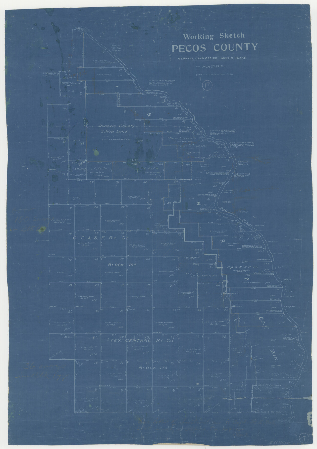
Pecos County Working Sketch 17
-
Map/Doc
71487
-
Collection
General Map Collection
-
Object Dates
8/23/1915 (Creation Date)
-
Counties
Pecos
-
Subjects
Surveying Working Sketch
-
Height x Width
32.5 x 23.0 inches
82.6 x 58.4 cm
-
Scale
1" = 1000 varas
Part of: General Map Collection
Garza County Rolled Sketch 16

Print $20.00
- Digital $50.00
Garza County Rolled Sketch 16
Size 30.5 x 32.3 inches
Map/Doc 9048

Bell County Rolled Sketch 2

Print $20.00
- Digital $50.00
Bell County Rolled Sketch 2
1954
Size 27.0 x 28.0 inches
Map/Doc 5133
Nueces County Rolled Sketch 68

Print $20.00
- Digital $50.00
Nueces County Rolled Sketch 68
1980
Size 19.9 x 25.4 inches
Map/Doc 6919
[Surveys in the Liberty District]
![162, [Surveys in the Liberty District], General Map Collection](https://historictexasmaps.com/wmedia_w700/maps/162.tif.jpg)
Print $2.00
- Digital $50.00
[Surveys in the Liberty District]
1841
Size 7.6 x 10.3 inches
Map/Doc 162
Coke County Sketch File 21

Print $20.00
- Digital $50.00
Coke County Sketch File 21
1911
Size 12.6 x 14.0 inches
Map/Doc 18614
Map of a part of Laguna Madre showing subdivision for mineral development

Print $40.00
- Digital $50.00
Map of a part of Laguna Madre showing subdivision for mineral development
1963
Size 68.1 x 46.0 inches
Map/Doc 2916
Scurry County Rolled Sketch 4

Print $20.00
- Digital $50.00
Scurry County Rolled Sketch 4
Size 35.7 x 26.0 inches
Map/Doc 7765
Real County Working Sketch 90

Print $20.00
- Digital $50.00
Real County Working Sketch 90
1991
Size 16.7 x 22.8 inches
Map/Doc 71982
Brewster County Working Sketch 107

Print $20.00
- Digital $50.00
Brewster County Working Sketch 107
1981
Size 34.7 x 37.1 inches
Map/Doc 67707
Dickens County Sketch File M

Print $59.00
- Digital $50.00
Dickens County Sketch File M
1908
Size 14.6 x 9.1 inches
Map/Doc 20911
Parker County Sketch File 1

Print $4.00
- Digital $50.00
Parker County Sketch File 1
Size 8.5 x 10.4 inches
Map/Doc 33516
You may also like
Coleman County Sketch File 10a

Print $24.00
- Digital $50.00
Coleman County Sketch File 10a
1859
Size 12.4 x 8.1 inches
Map/Doc 18678
Donley County Sketch File 6

Print $16.00
- Digital $50.00
Donley County Sketch File 6
1881
Size 12.9 x 8.5 inches
Map/Doc 21230
Presidio County Rolled Sketch 90

Print $20.00
- Digital $50.00
Presidio County Rolled Sketch 90
1947
Size 20.5 x 24.4 inches
Map/Doc 7375
Current Miscellaneous File 17

Print $24.00
- Digital $50.00
Current Miscellaneous File 17
1951
Size 10.7 x 8.1 inches
Map/Doc 73838
Map of east part of West Bay & SW part of Galveston Bay, Galveston County showing subdivision for mineral development

Print $40.00
- Digital $50.00
Map of east part of West Bay & SW part of Galveston Bay, Galveston County showing subdivision for mineral development
Size 69.6 x 48.0 inches
Map/Doc 65804
Copy of a portion of Arista's map

Print $20.00
- Digital $50.00
Copy of a portion of Arista's map
1847
Size 27.5 x 18.3 inches
Map/Doc 73058
Hidalgo County Sketch File 16

Print $12.00
- Digital $50.00
Hidalgo County Sketch File 16
1914
Size 11.2 x 8.9 inches
Map/Doc 26437
Irion County Boundary File 4a

Print $40.00
- Digital $50.00
Irion County Boundary File 4a
Size 8.6 x 38.7 inches
Map/Doc 55361
No. 3 Chart of Channel connecting Corpus Christi Bay with Aransas Bay, Texas

Print $20.00
- Digital $50.00
No. 3 Chart of Channel connecting Corpus Christi Bay with Aransas Bay, Texas
1878
Size 18.4 x 28.0 inches
Map/Doc 72771
Nueces County Rolled Sketch 43B

Print $20.00
- Digital $50.00
Nueces County Rolled Sketch 43B
Size 28.0 x 36.5 inches
Map/Doc 6885
Caldwell County

Print $20.00
- Digital $50.00
Caldwell County
1896
Size 42.7 x 33.3 inches
Map/Doc 93039
Texas Boundary Line

Print $20.00
- Digital $50.00
Texas Boundary Line
Size 21.3 x 12.0 inches
Map/Doc 92079