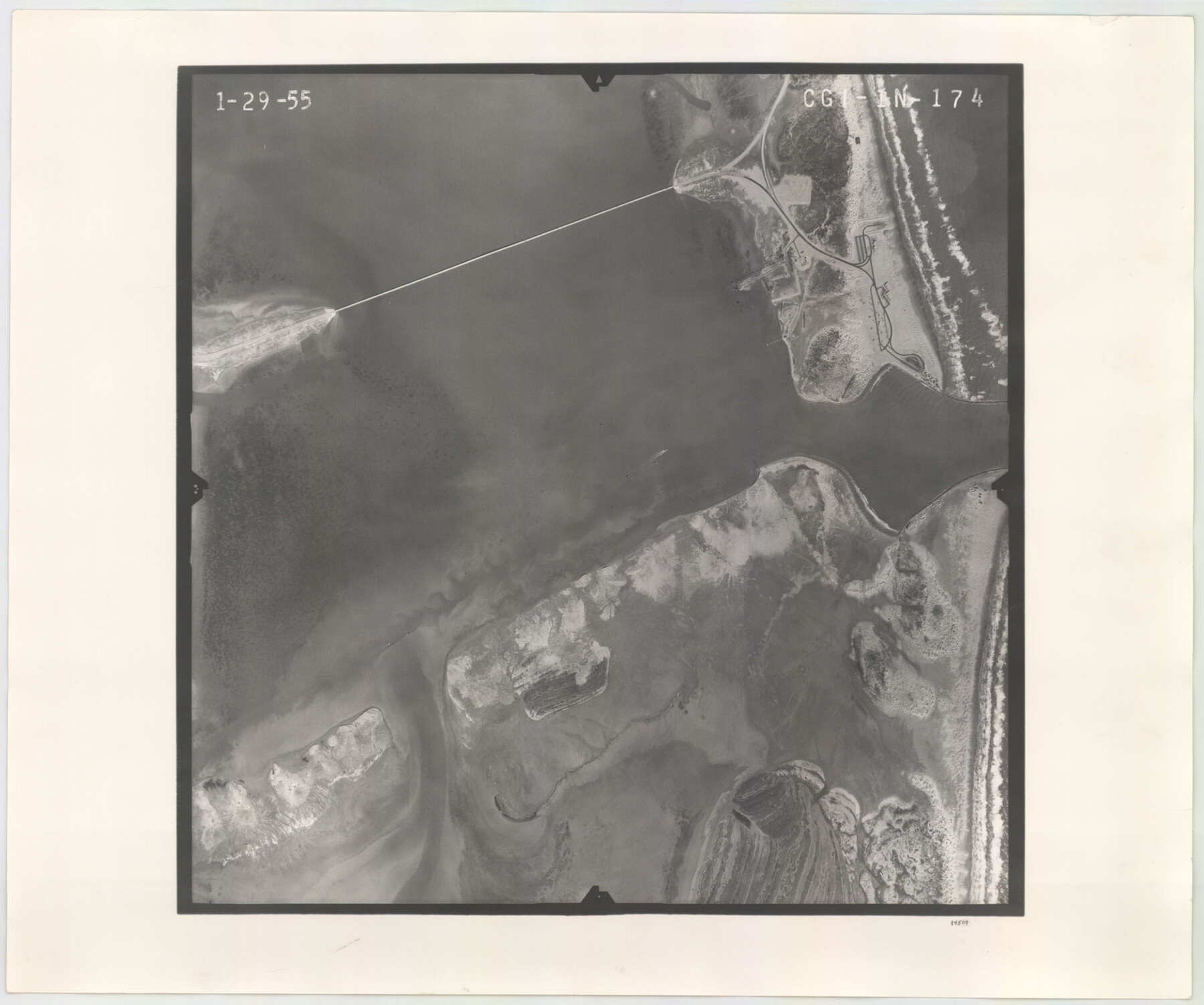
Flight Mission No. CGI-1N, Frame 174, Cameron County
CGI-1N-174
-
Map/Doc
84509
-
Collection
General Map Collection
-
Object Dates
1955/1/29 (Creation Date)
-
People and Organizations
U. S. Department of Agriculture (Publisher)
-
Counties
Cameron
-
Subjects
Aerial Photograph
-
Height x Width
18.5 x 22.1 inches
47.0 x 56.1 cm
-
Comments
Flown by Puckett Aerial Surveys, Inc. of Jackson, Mississippi.
Part of: General Map Collection
Duval County Rolled Sketch 47

Print $40.00
- Digital $50.00
Duval County Rolled Sketch 47
1991
Size 35.4 x 48.0 inches
Map/Doc 8824
Flight Mission No. DAH-9M, Frame 84, Orange County

Print $20.00
- Digital $50.00
Flight Mission No. DAH-9M, Frame 84, Orange County
1953
Size 18.7 x 22.5 inches
Map/Doc 86848
Brown County Working Sketch 20

Print $20.00
- Digital $50.00
Brown County Working Sketch 20
2011
Size 32.8 x 34.8 inches
Map/Doc 89999
Ochiltree County Sketch File 7

Print $20.00
- Digital $50.00
Ochiltree County Sketch File 7
Size 14.5 x 26.1 inches
Map/Doc 42204
Flight Mission No. CRC-4R, Frame 99, Chambers County

Print $20.00
- Digital $50.00
Flight Mission No. CRC-4R, Frame 99, Chambers County
1956
Size 18.5 x 22.2 inches
Map/Doc 84896
Wise County Working Sketch 15

Print $20.00
- Digital $50.00
Wise County Working Sketch 15
1979
Size 23.3 x 24.6 inches
Map/Doc 72629
Throckmorton Co.

Print $20.00
- Digital $50.00
Throckmorton Co.
1898
Size 41.7 x 36.7 inches
Map/Doc 63064
Bexar County Sketch File 21

Print $4.00
- Digital $50.00
Bexar County Sketch File 21
1859
Size 12.2 x 7.9 inches
Map/Doc 14484
El Paso County

Print $40.00
- Digital $50.00
El Paso County
1881
Size 51.5 x 15.7 inches
Map/Doc 89057
Floyd County Rolled Sketch 5

Print $20.00
- Digital $50.00
Floyd County Rolled Sketch 5
1892
Size 27.2 x 18.7 inches
Map/Doc 5880
[Unidentified Railroad through Denton and Dallas County]
![64775, [Unidentified Railroad through Denton and Dallas County], General Map Collection](https://historictexasmaps.com/wmedia_w700/maps/64775.tif.jpg)
Print $40.00
- Digital $50.00
[Unidentified Railroad through Denton and Dallas County]
Size 6.8 x 73.3 inches
Map/Doc 64775
Cooke County Sketch File 31

Print $22.00
- Digital $50.00
Cooke County Sketch File 31
1873
Size 8.0 x 12.9 inches
Map/Doc 19293
You may also like
Flight Mission No. BQR-5K, Frame 64, Brazoria County

Print $20.00
- Digital $50.00
Flight Mission No. BQR-5K, Frame 64, Brazoria County
1952
Size 18.8 x 22.5 inches
Map/Doc 84009
Anderson County Sketch File 4a

Print $9.00
- Digital $50.00
Anderson County Sketch File 4a
1849
Size 9.5 x 12.0 inches
Map/Doc 12746
Yoakum County Sketch File 14

Print $22.00
- Digital $50.00
Yoakum County Sketch File 14
1937
Size 14.5 x 14.6 inches
Map/Doc 40791
Crane County Sketch File 3b

Print $20.00
- Digital $50.00
Crane County Sketch File 3b
1881
Size 11.9 x 38.6 inches
Map/Doc 11206
Grayson County Sketch File 21

Print $14.00
- Digital $50.00
Grayson County Sketch File 21
Size 7.7 x 17.8 inches
Map/Doc 24495
Walker County Working Sketch 1

Print $20.00
- Digital $50.00
Walker County Working Sketch 1
1912
Size 20.1 x 18.4 inches
Map/Doc 72281

Gaines County Sketch File 17

Print $32.00
- Digital $50.00
Gaines County Sketch File 17
1962
Size 11.3 x 8.8 inches
Map/Doc 23204
[Survey 9, Block 9 Potter and Randall]
![91721, [Survey 9, Block 9 Potter and Randall], Twichell Survey Records](https://historictexasmaps.com/wmedia_w700/maps/91721-1.tif.jpg)
Print $20.00
- Digital $50.00
[Survey 9, Block 9 Potter and Randall]
Size 22.1 x 15.9 inches
Map/Doc 91721
Washington County

Print $40.00
- Digital $50.00
Washington County
1920
Size 33.5 x 48.8 inches
Map/Doc 1900
Galveston Bay Entrance, Series No. 518

Print $40.00
- Digital $50.00
Galveston Bay Entrance, Series No. 518
1971
Size 18.0 x 49.9 inches
Map/Doc 69862
Map of South America engraved to illustrate Mitchell's new intermediate geography

Print $20.00
- Digital $50.00
Map of South America engraved to illustrate Mitchell's new intermediate geography
1885
Size 12.2 x 9.0 inches
Map/Doc 93525