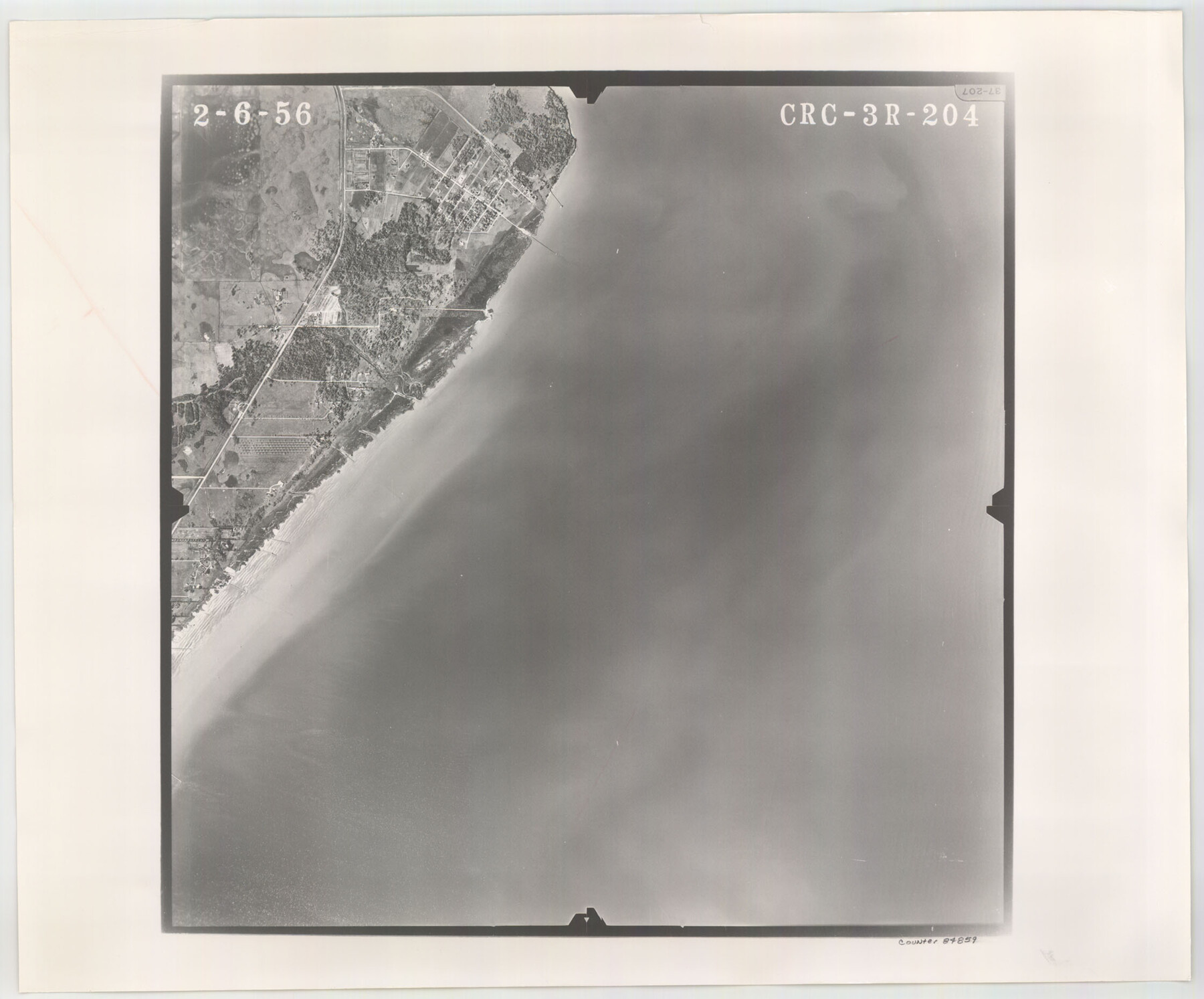
Flight Mission No. CRC-3R, Frame 204, Chambers County
CRC-3R-204
-
Map/Doc
84859
-
Collection
General Map Collection
-
Object Dates
1956/2/6 (Creation Date)
-
People and Organizations
U. S. Department of Agriculture (Publisher)
-
Counties
Chambers
-
Subjects
Aerial Photograph
-
Height x Width
18.6 x 22.4 inches
47.2 x 56.9 cm
-
Comments
Flown by Jack Ammann Photogrammetric Engineers, Inc. of San Antonio, Texas.
Part of: General Map Collection
Reagan County Working Sketch 29

Print $40.00
- Digital $50.00
Reagan County Working Sketch 29
1963
Size 34.3 x 66.4 inches
Map/Doc 71871
Arlington Street Map & Guide

Digital $50.00
Arlington Street Map & Guide
Size 35.5 x 23.2 inches
Map/Doc 94436
[Map of Nacogdoches County]
![10784, [Map of Nacogdoches County], General Map Collection](https://historictexasmaps.com/wmedia_w700/maps/10784-1.tif.jpg)
Print $40.00
- Digital $50.00
[Map of Nacogdoches County]
1840
Size 79.3 x 69.8 inches
Map/Doc 10784
Red River County Working Sketch 73

Print $20.00
- Digital $50.00
Red River County Working Sketch 73
1979
Size 17.0 x 19.2 inches
Map/Doc 72056
Morris County Rolled Sketch 2A

Print $20.00
- Digital $50.00
Morris County Rolled Sketch 2A
Size 36.7 x 25.1 inches
Map/Doc 10259
[Edwards County]
![4939, [Edwards County], General Map Collection](https://historictexasmaps.com/wmedia_w700/maps/4939-1.tif.jpg)
Print $40.00
- Digital $50.00
[Edwards County]
1900
Size 48.6 x 32.4 inches
Map/Doc 4939
Hutchinson County Rolled Sketch 42

Print $40.00
- Digital $50.00
Hutchinson County Rolled Sketch 42
1993
Size 38.5 x 49.9 inches
Map/Doc 6309
Menard County Rolled Sketch 15

Print $20.00
- Digital $50.00
Menard County Rolled Sketch 15
1983
Size 27.9 x 22.0 inches
Map/Doc 6761
Flight Mission No. CGI-4N, Frame 19, Cameron County

Print $20.00
- Digital $50.00
Flight Mission No. CGI-4N, Frame 19, Cameron County
1954
Size 18.5 x 22.3 inches
Map/Doc 84652
Presidio County Sketch File 116

Print $86.00
- Digital $50.00
Presidio County Sketch File 116
1993
Size 11.4 x 8.7 inches
Map/Doc 34842
Shackelford County

Print $20.00
- Digital $50.00
Shackelford County
1972
Size 42.8 x 36.3 inches
Map/Doc 73287
Flight Mission No. CRK-8P, Frame 121, Refugio County

Print $20.00
- Digital $50.00
Flight Mission No. CRK-8P, Frame 121, Refugio County
1956
Size 18.3 x 22.2 inches
Map/Doc 86976
You may also like
Township 10 South Range 13 West, South Western District, Louisiana

Print $20.00
- Digital $50.00
Township 10 South Range 13 West, South Western District, Louisiana
1876
Size 19.5 x 24.6 inches
Map/Doc 65853
Hemphill County Working Sketch 2

Print $20.00
- Digital $50.00
Hemphill County Working Sketch 2
1926
Size 29.0 x 31.1 inches
Map/Doc 66097
Gaines County Sketch File 21

Print $6.00
- Digital $50.00
Gaines County Sketch File 21
1990
Size 11.2 x 8.8 inches
Map/Doc 23341
McCulloch County Sketch File 3

Print $12.00
- Digital $50.00
McCulloch County Sketch File 3
1893
Size 11.1 x 8.5 inches
Map/Doc 31169
Brazoria County NRC Article 33.136 Sketch 15

Print $44.00
- Digital $50.00
Brazoria County NRC Article 33.136 Sketch 15
2014
Size 39.8 x 30.0 inches
Map/Doc 94698
Travis County State Real Property Sketch 17

Print $20.00
- Digital $50.00
Travis County State Real Property Sketch 17
2012
Size 36.0 x 24.5 inches
Map/Doc 93354
Fannin County Boundary File 5

Print $44.00
- Digital $50.00
Fannin County Boundary File 5
Size 22.3 x 7.7 inches
Map/Doc 53309
Trinity County Sketch File 22

Print $23.00
- Digital $50.00
Trinity County Sketch File 22
1877
Size 9.4 x 12.3 inches
Map/Doc 38550
Navarro County Working Sketch 6

Print $20.00
- Digital $50.00
Navarro County Working Sketch 6
1950
Size 25.3 x 33.7 inches
Map/Doc 71236
Jackson County Rolled Sketch 10

Print $20.00
- Digital $50.00
Jackson County Rolled Sketch 10
1941
Size 47.1 x 32.5 inches
Map/Doc 9259
Richardsons New Map of the State of Texas Including Part of Mexico Compiled from Government Surveys and other Authentic Documents

Print $20.00
Richardsons New Map of the State of Texas Including Part of Mexico Compiled from Government Surveys and other Authentic Documents
1860
Size 26.7 x 34.5 inches
Map/Doc 79735
Dickens County

Print $20.00
- Digital $50.00
Dickens County
1884
Size 20.9 x 19.3 inches
Map/Doc 3487