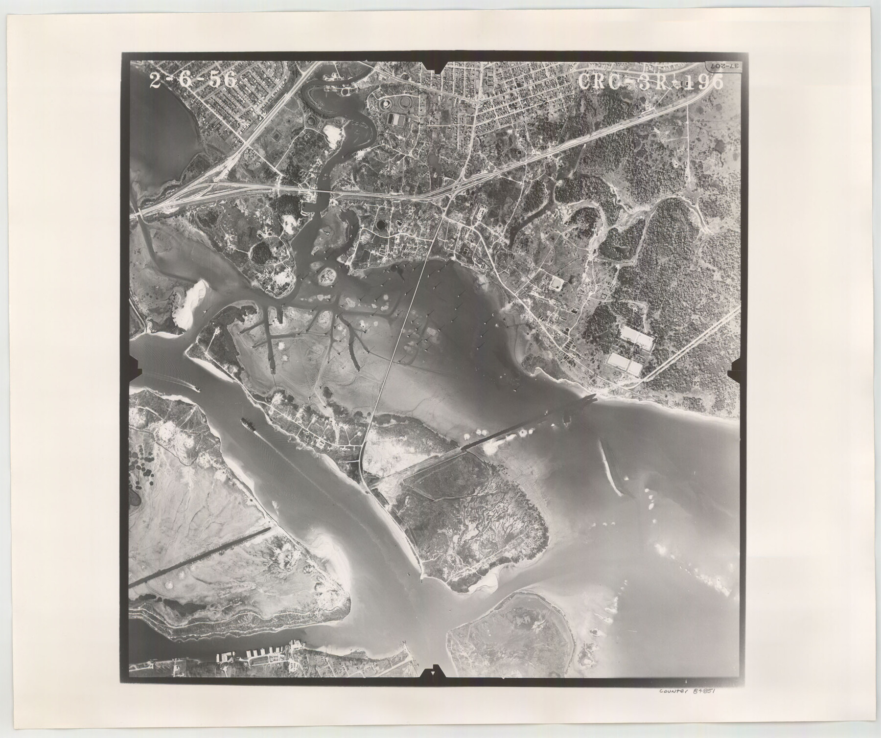
Flight Mission No. CRC-3R, Frame 196, Chambers County
CRC-3R-196
-
Map/Doc
84851
-
Collection
General Map Collection
-
Object Dates
1956/2/6 (Creation Date)
-
People and Organizations
U. S. Department of Agriculture (Publisher)
-
Counties
Chambers
-
Subjects
Aerial Photograph
-
Height x Width
18.7 x 22.3 inches
47.5 x 56.6 cm
-
Comments
Flown by Jack Ammann Photogrammetric Engineers, Inc. of San Antonio, Texas.
Part of: General Map Collection
Current Miscellaneous File 118

Print $214.00
- Digital $50.00
Current Miscellaneous File 118
Map/Doc 87238
Hardeman County Sketch File 17

Print $2.00
- Digital $50.00
Hardeman County Sketch File 17
Size 7.8 x 6.7 inches
Map/Doc 25025
Aransas County NRC Article 33.136 Sketch 14

Print $36.00
- Digital $50.00
Aransas County NRC Article 33.136 Sketch 14
2016
Size 18.0 x 24.0 inches
Map/Doc 94795
Flight Mission No. DAG-17K, Frame 60, Matagorda County

Print $20.00
- Digital $50.00
Flight Mission No. DAG-17K, Frame 60, Matagorda County
1952
Size 18.5 x 22.3 inches
Map/Doc 86322
Hays County Working Sketch 5

Print $20.00
- Digital $50.00
Hays County Working Sketch 5
1929
Size 28.2 x 29.6 inches
Map/Doc 66079
Map of Jones County

Print $20.00
- Digital $50.00
Map of Jones County
1898
Size 41.9 x 39.8 inches
Map/Doc 4996
San Saba County Boundary File 1

Print $4.00
- Digital $50.00
San Saba County Boundary File 1
Size 14.2 x 8.7 inches
Map/Doc 58575
Intracoastal Waterway, Houma, LA to Corpus Christi, TX

Print $5.00
- Digital $50.00
Intracoastal Waterway, Houma, LA to Corpus Christi, TX
Size 22.2 x 29.6 inches
Map/Doc 61913
Gregg County Working Sketch 10

Print $20.00
- Digital $50.00
Gregg County Working Sketch 10
1939
Size 34.1 x 26.4 inches
Map/Doc 63276
Flight Mission No. DAG-21K, Frame 116, Matagorda County

Print $20.00
- Digital $50.00
Flight Mission No. DAG-21K, Frame 116, Matagorda County
1952
Size 18.6 x 22.3 inches
Map/Doc 86439
Flight Mission No. DAG-14K, Frame 146, Matagorda County

Print $20.00
- Digital $50.00
Flight Mission No. DAG-14K, Frame 146, Matagorda County
1952
Size 18.4 x 22.2 inches
Map/Doc 86313
Harris County Historic Topographic 19

Print $20.00
- Digital $50.00
Harris County Historic Topographic 19
1915
Size 29.3 x 22.6 inches
Map/Doc 65830
You may also like
Hockley County Sketch Mineral Application Number 38322- 38379

Print $20.00
- Digital $50.00
Hockley County Sketch Mineral Application Number 38322- 38379
1946
Size 34.1 x 27.8 inches
Map/Doc 92242
Winkler County Sketch File 5

Print $16.00
- Digital $50.00
Winkler County Sketch File 5
1900
Size 11.2 x 8.7 inches
Map/Doc 40467
Mexico Comision Pesquisidora de la Frontera del Norte

Mexico Comision Pesquisidora de la Frontera del Norte
1874
Map/Doc 97125
Van Zandt County Sketch File 20a

Print $4.00
- Digital $50.00
Van Zandt County Sketch File 20a
1858
Size 12.9 x 8.0 inches
Map/Doc 39428
Map of Fort Bend Co.

Print $20.00
- Digital $50.00
Map of Fort Bend Co.
1898
Size 45.3 x 41.6 inches
Map/Doc 4949

Flight Mission No. DCL-6C, Frame 25, Kenedy County

Print $20.00
- Digital $50.00
Flight Mission No. DCL-6C, Frame 25, Kenedy County
1943
Size 18.4 x 22.4 inches
Map/Doc 85882
Fisher County Sketch File 15a

Print $10.00
- Digital $50.00
Fisher County Sketch File 15a
1901
Size 7.6 x 9.0 inches
Map/Doc 22578
General Highway Map, Walker County, Texas

Print $20.00
General Highway Map, Walker County, Texas
1961
Size 24.7 x 18.1 inches
Map/Doc 79698
Map of Brewster Co.

Print $40.00
- Digital $50.00
Map of Brewster Co.
1896
Size 58.4 x 17.3 inches
Map/Doc 4892
Flight Mission No. BQY-4M, Frame 113, Harris County

Print $20.00
- Digital $50.00
Flight Mission No. BQY-4M, Frame 113, Harris County
1953
Size 18.8 x 22.4 inches
Map/Doc 85280
Harlem State Farm, East Tract

Print $3.00
- Digital $50.00
Harlem State Farm, East Tract
Size 15.6 x 11.9 inches
Map/Doc 62983