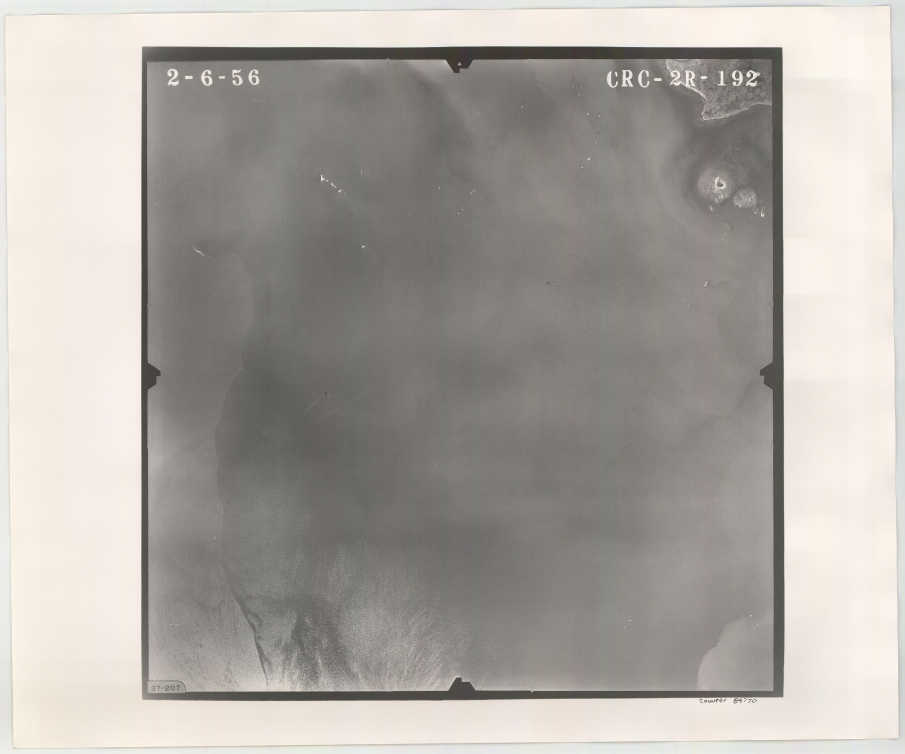
Flight Mission No. CRC-2R, Frame 192, Chambers County
CRC-2R-192
-
Map/Doc
84770
-
Collection
General Map Collection
-
Object Dates
1956/2/6 (Creation Date)
-
People and Organizations
U. S. Department of Agriculture (Publisher)
-
Counties
Chambers
-
Subjects
Aerial Photograph
-
Height x Width
18.6 x 22.3 inches
47.2 x 56.6 cm
-
Comments
Flown by Jack Ammann Photogrammetric Engineers, Inc. of San Antonio, Texas.
Part of: General Map Collection
Flight Mission No. DQO-7K, Frame 112, Galveston County

Print $20.00
- Digital $50.00
Flight Mission No. DQO-7K, Frame 112, Galveston County
1952
Size 18.9 x 22.4 inches
Map/Doc 85127
Flight Mission No. DIX-3P, Frame 134, Aransas County

Print $20.00
- Digital $50.00
Flight Mission No. DIX-3P, Frame 134, Aransas County
1956
Size 17.8 x 19.0 inches
Map/Doc 83764
Real County Working Sketch 40

Print $20.00
- Digital $50.00
Real County Working Sketch 40
1952
Size 31.5 x 22.5 inches
Map/Doc 71932
Lavaca County Working Sketch 18

Print $20.00
- Digital $50.00
Lavaca County Working Sketch 18
1979
Size 37.0 x 20.3 inches
Map/Doc 70371
![78444, [Webb County], General Map Collection](https://historictexasmaps.com/wmedia_w700/maps/78444.tif.jpg)
Duval County Sketch File 35

Print $24.00
- Digital $50.00
Duval County Sketch File 35
Size 14.4 x 8.8 inches
Map/Doc 21359
Flight Mission No. DCL-6C, Frame 92, Kenedy County

Print $20.00
- Digital $50.00
Flight Mission No. DCL-6C, Frame 92, Kenedy County
1943
Size 18.4 x 22.3 inches
Map/Doc 85922
Reagan County Rolled Sketch 24

Print $26.00
- Digital $50.00
Reagan County Rolled Sketch 24
Size 44.0 x 39.9 inches
Map/Doc 9819
Jefferson County Working Sketch 41

Print $20.00
- Digital $50.00
Jefferson County Working Sketch 41
1985
Size 26.4 x 20.8 inches
Map/Doc 66585
Map of Northern Boundary Line of Texas and Pacific 80 Mile Reservation

Print $20.00
- Digital $50.00
Map of Northern Boundary Line of Texas and Pacific 80 Mile Reservation
1902
Size 16.8 x 16.7 inches
Map/Doc 65694
Gregg County Sketch File 1

Print $4.00
- Digital $50.00
Gregg County Sketch File 1
1872
Size 8.0 x 10.1 inches
Map/Doc 24551

You may also like

Tyler County Sketch File 1

Print $22.00
- Digital $50.00
Tyler County Sketch File 1
1849
Size 12.2 x 15.3 inches
Map/Doc 38607
Ellis County Sketch File 8

Print $40.00
- Digital $50.00
Ellis County Sketch File 8
1860
Size 12.8 x 16.2 inches
Map/Doc 21841
Dickens County Working Sketch 10

Print $40.00
- Digital $50.00
Dickens County Working Sketch 10
1965
Size 62.2 x 39.5 inches
Map/Doc 68658
Portion of States Submerged Area in Matagorda Bay

Print $20.00
- Digital $50.00
Portion of States Submerged Area in Matagorda Bay
1923
Size 12.7 x 13.5 inches
Map/Doc 2956
Real County Working Sketch 4

Print $20.00
- Digital $50.00
Real County Working Sketch 4
1924
Size 17.1 x 15.5 inches
Map/Doc 71896
Reagan County Rolled Sketch 28

Print $40.00
- Digital $50.00
Reagan County Rolled Sketch 28
1952
Size 64.1 x 46.5 inches
Map/Doc 9823

Texas, Espiritu Santo Bay

Print $40.00
- Digital $50.00
Texas, Espiritu Santo Bay
1934
Size 31.7 x 48.2 inches
Map/Doc 69996
Live Oak County Sketch File 21

Print $26.00
- Digital $50.00
Live Oak County Sketch File 21
1912
Size 16.8 x 8.0 inches
Map/Doc 30297
Gaines County Boundary File 4

Print $4.00
- Digital $50.00
Gaines County Boundary File 4
Size 14.4 x 8.9 inches
Map/Doc 53656
Mason County Sketch File 16

Print $5.00
- Digital $50.00
Mason County Sketch File 16
Size 9.1 x 11.2 inches
Map/Doc 30703