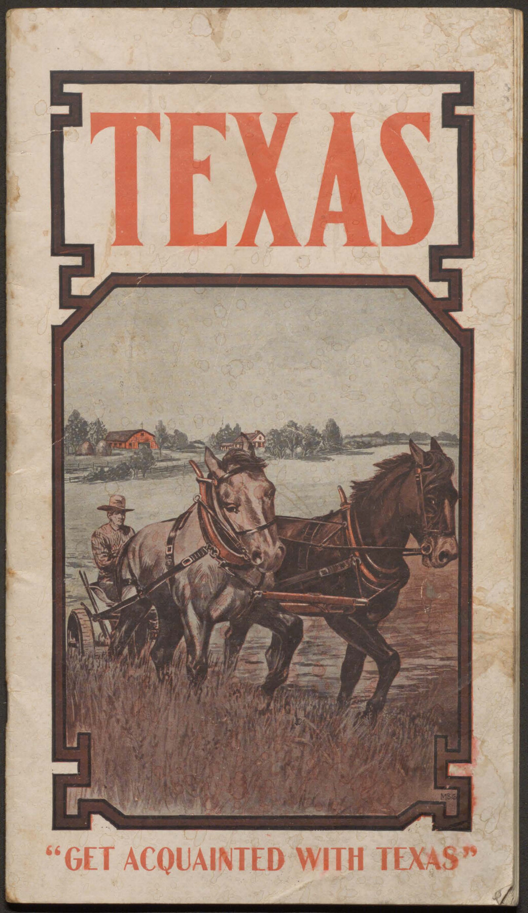
Texas - "Get Acquainted with Texas"
-
Map/Doc
96774
-
Collection
Cobb Digital Map Collection
-
Object Dates
[1908] (Creation Date)
-
People and Organizations
St. Louis Southwestern Railway Company (Publisher)
-
Subjects
Railroads
-
Medium
pdf
-
Comments
Courtesy of John & Diana Cobb.
Part of: Cobb Digital Map Collection
"Iron Mountain Route" to all parts of Texas - I. & G. N., T. & P., Iron Mountain - "The Way to Texas"

Print $20.00
- Digital $50.00
"Iron Mountain Route" to all parts of Texas - I. & G. N., T. & P., Iron Mountain - "The Way to Texas"
1909
Size 21.8 x 24.0 inches
Map/Doc 95793
Victoria, Texas: The City of Roses

Victoria, Texas: The City of Roses
1910
Size 3.6 x 4.8 inches
Map/Doc 97056

Typical Scenes of Wichita Falls and District

Print $20.00
- Digital $50.00
Typical Scenes of Wichita Falls and District
1927
Size 13.7 x 16.6 inches
Map/Doc 96761
Southern Pacific Lines Map of Texas

Print $20.00
- Digital $50.00
Southern Pacific Lines Map of Texas
1928
Size 27.4 x 22.4 inches
Map/Doc 95774
Santa Fe Lines - Texas, Oklahoma, and Louisiana

Print $20.00
- Digital $50.00
Santa Fe Lines - Texas, Oklahoma, and Louisiana
1923
Size 9.3 x 8.3 inches
Map/Doc 96595

[Map of Texas]
![96624, [Map of Texas], Cobb Digital Map Collection](https://historictexasmaps.com/wmedia_w700/maps/96624.tif.jpg)
Print $20.00
- Digital $50.00
[Map of Texas]
1869
Size 9.9 x 8.8 inches
Map/Doc 96624

Map of the Southern Pacific and connecting lines

Print $20.00
- Digital $50.00
Map of the Southern Pacific and connecting lines
1897
Size 8.7 x 15.9 inches
Map/Doc 95763
A Geographically Correct County Map of States Traversed by the St. Louis, Iron Mountain & Southern Railway and its Connections

Print $20.00
- Digital $50.00
A Geographically Correct County Map of States Traversed by the St. Louis, Iron Mountain & Southern Railway and its Connections
1877
Size 18.5 x 16.1 inches
Map/Doc 95782
Map of the Missouri, Kansas & Texas Railway and its connecting lines

Print $20.00
- Digital $50.00
Map of the Missouri, Kansas & Texas Railway and its connecting lines
1901
Size 16.3 x 9.1 inches
Map/Doc 95810
You may also like
Calhoun County Rolled Sketch 30

Print $20.00
- Digital $50.00
Calhoun County Rolled Sketch 30
1974
Size 18.6 x 27.2 inches
Map/Doc 5497
Calhoun County Aerial Photograph Index Sheet 5

Print $20.00
- Digital $50.00
Calhoun County Aerial Photograph Index Sheet 5
1953
Size 24.0 x 19.5 inches
Map/Doc 83673
Flight Mission No. BQR-13K, Frame 160, Brazoria County

Print $20.00
- Digital $50.00
Flight Mission No. BQR-13K, Frame 160, Brazoria County
1952
Size 18.8 x 22.3 inches
Map/Doc 84085
Childress County Rolled Sketch 18

Print $20.00
- Digital $50.00
Childress County Rolled Sketch 18
1913
Size 17.6 x 39.0 inches
Map/Doc 5451
Harris County Rolled Sketch 64

Print $20.00
- Digital $50.00
Harris County Rolled Sketch 64
1936
Size 35.0 x 40.3 inches
Map/Doc 9123
Oldham County Sketch File 11

Print $26.00
- Digital $50.00
Oldham County Sketch File 11
Size 13.0 x 8.5 inches
Map/Doc 33247
Henderson County Sketch File 12

Print $8.00
- Digital $50.00
Henderson County Sketch File 12
1871
Size 8.4 x 7.4 inches
Map/Doc 26349
Harris County Sketch File 18

Print $6.00
- Digital $50.00
Harris County Sketch File 18
1860
Size 8.0 x 3.4 inches
Map/Doc 25363

[Texas Gulf Coast from Rio Grande to Sabine Lake]
![72688, [Texas Gulf Coast from Rio Grande to Sabine Lake], General Map Collection](https://historictexasmaps.com/wmedia_w700/maps/72688.tif.jpg)
Print $20.00
- Digital $50.00
[Texas Gulf Coast from Rio Grande to Sabine Lake]
Size 27.8 x 18.3 inches
Map/Doc 72688
Wilbarger County Working Sketch 15

Print $20.00
- Digital $50.00
Wilbarger County Working Sketch 15
1955
Size 32.5 x 25.5 inches
Map/Doc 72553
Navigation Maps of Gulf Intracoastal Waterway, Port Arthur to Brownsville, Texas

Print $4.00
- Digital $50.00
Navigation Maps of Gulf Intracoastal Waterway, Port Arthur to Brownsville, Texas
1951
Size 16.7 x 21.4 inches
Map/Doc 65423