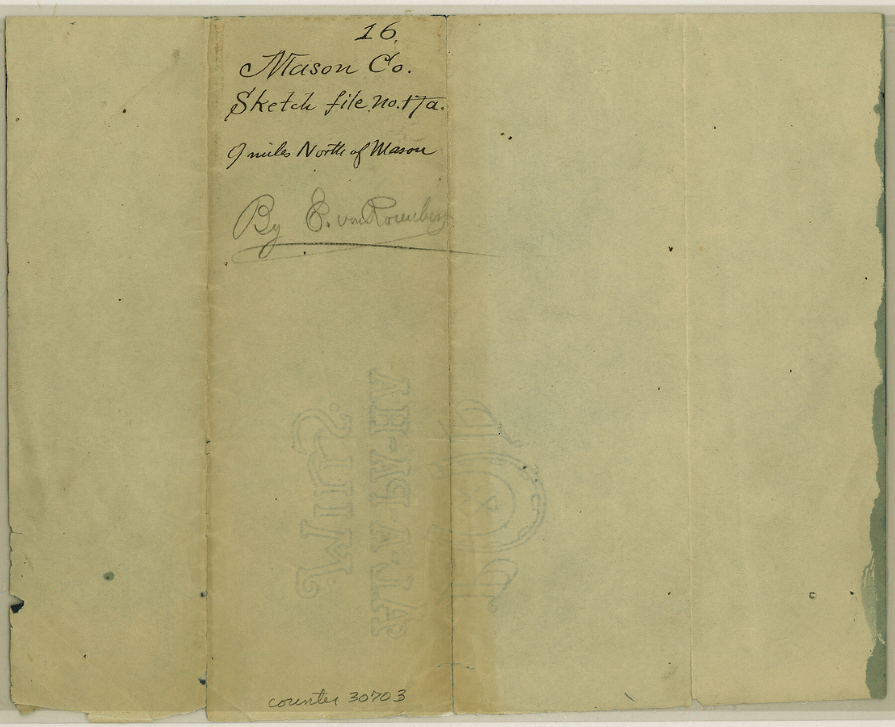
Mason County Sketch File 16
[Sketch of area due north of Mason]
-
Map/Doc
30703
-
Collection
General Map Collection
-
People and Organizations
E. von Rosenberg (Draftsman)
-
Counties
Mason
-
Subjects
Surveying Sketch File
-
Height x Width
9.1 x 11.2 inches
23.1 x 28.5 cm
-
Medium
blueprint/diazo
-
Scale
1" = 1000 varas
-
Features
Katemsis Creek
Part of: General Map Collection
Sabine County Working Sketch 12

Print $20.00
- Digital $50.00
Sabine County Working Sketch 12
1935
Size 39.2 x 45.9 inches
Map/Doc 63683
Parker County Sketch File 2

Print $4.00
- Digital $50.00
Parker County Sketch File 2
1856
Size 12.7 x 8.2 inches
Map/Doc 33519
Hemphill County

Print $20.00
- Digital $50.00
Hemphill County
1878
Size 19.1 x 16.9 inches
Map/Doc 3661
Cooke County Working Sketch 10

Print $20.00
- Digital $50.00
Cooke County Working Sketch 10
1940
Size 40.5 x 27.8 inches
Map/Doc 68247
Live Oak County Sketch File 25

Print $16.00
- Digital $50.00
Live Oak County Sketch File 25
1919
Size 9.0 x 8.5 inches
Map/Doc 30301
[Rio Grande & Eagle Pass - Stockdale to Cuero]
![64049, [Rio Grande & Eagle Pass - Stockdale to Cuero], General Map Collection](https://historictexasmaps.com/wmedia_w700/maps/64049.tif.jpg)
Print $40.00
- Digital $50.00
[Rio Grande & Eagle Pass - Stockdale to Cuero]
Size 19.1 x 98.7 inches
Map/Doc 64049
Childress County Sketch File 15a

Print $4.00
- Digital $50.00
Childress County Sketch File 15a
Size 8.6 x 11.7 inches
Map/Doc 18303
Rockwall County Boundary File 4

Print $6.00
- Digital $50.00
Rockwall County Boundary File 4
Size 10.9 x 8.4 inches
Map/Doc 58396
Matagorda County Working Sketch 22

Print $20.00
- Digital $50.00
Matagorda County Working Sketch 22
1967
Size 30.0 x 38.8 inches
Map/Doc 70880
Rusk County Working Sketch 29a

Print $20.00
- Digital $50.00
Rusk County Working Sketch 29a
1933
Size 18.1 x 25.8 inches
Map/Doc 63665
Texas-Oklahoma Boundary Line: brief summary of the lands surveyed and the lands not surveyed in the dispute between Oklahoma vs. Texas

Print $356.00
- Digital $50.00
Texas-Oklahoma Boundary Line: brief summary of the lands surveyed and the lands not surveyed in the dispute between Oklahoma vs. Texas
1923
Size 6.0 x 9.2 inches
Map/Doc 3061
Bailey County Sketch File 15

Print $18.00
- Digital $50.00
Bailey County Sketch File 15
1912
Size 8.7 x 11.2 inches
Map/Doc 13975
You may also like
Flight Mission No. DQO-12K, Frame 40, Galveston County

Print $20.00
- Digital $50.00
Flight Mission No. DQO-12K, Frame 40, Galveston County
1952
Size 18.6 x 22.3 inches
Map/Doc 85230
Trinity County Working Sketch 1

Print $20.00
- Digital $50.00
Trinity County Working Sketch 1
1904
Size 17.1 x 12.3 inches
Map/Doc 69449
Map Representing the Original Locations of Various Surveys Deliniated Thereon

Print $40.00
- Digital $50.00
Map Representing the Original Locations of Various Surveys Deliniated Thereon
1890
Size 40.8 x 62.0 inches
Map/Doc 469
Railroad Commissioners' Map of Texas

Print $20.00
Railroad Commissioners' Map of Texas
1897
Size 23.2 x 27.6 inches
Map/Doc 76280
Geographically Correct County Map showing the lines of the Cotton Belt Route (St. Louis Southwestern Railway Co., St. Louis Southwestern Railway Co. of Texas, Tyler Southeastern Railway Co.) and Connections

Print $20.00
- Digital $50.00
Geographically Correct County Map showing the lines of the Cotton Belt Route (St. Louis Southwestern Railway Co., St. Louis Southwestern Railway Co. of Texas, Tyler Southeastern Railway Co.) and Connections
1900
Size 35.2 x 30.4 inches
Map/Doc 95147
Map of Comal County

Print $20.00
- Digital $50.00
Map of Comal County
1897
Size 40.0 x 45.8 inches
Map/Doc 66780
Trinity County, Texas

Print $20.00
- Digital $50.00
Trinity County, Texas
1879
Size 15.8 x 23.8 inches
Map/Doc 761
Newton County Working Sketch 12

Print $20.00
- Digital $50.00
Newton County Working Sketch 12
1942
Size 24.5 x 28.5 inches
Map/Doc 71258
Throckmorton County Rolled Sketch 6A

Print $20.00
- Digital $50.00
Throckmorton County Rolled Sketch 6A
2004
Size 20.3 x 24.3 inches
Map/Doc 82489
Bee County Sketch File 27

Print $8.00
- Digital $50.00
Bee County Sketch File 27
1886
Size 14.3 x 8.8 inches
Map/Doc 14331
Approaches to Galveston Bay

Print $40.00
- Digital $50.00
Approaches to Galveston Bay
1992
Size 36.6 x 55.6 inches
Map/Doc 69888
Armstrong County Sketch File A

Print $46.00
- Digital $50.00
Armstrong County Sketch File A
1902
Size 8.6 x 20.0 inches
Map/Doc 13665