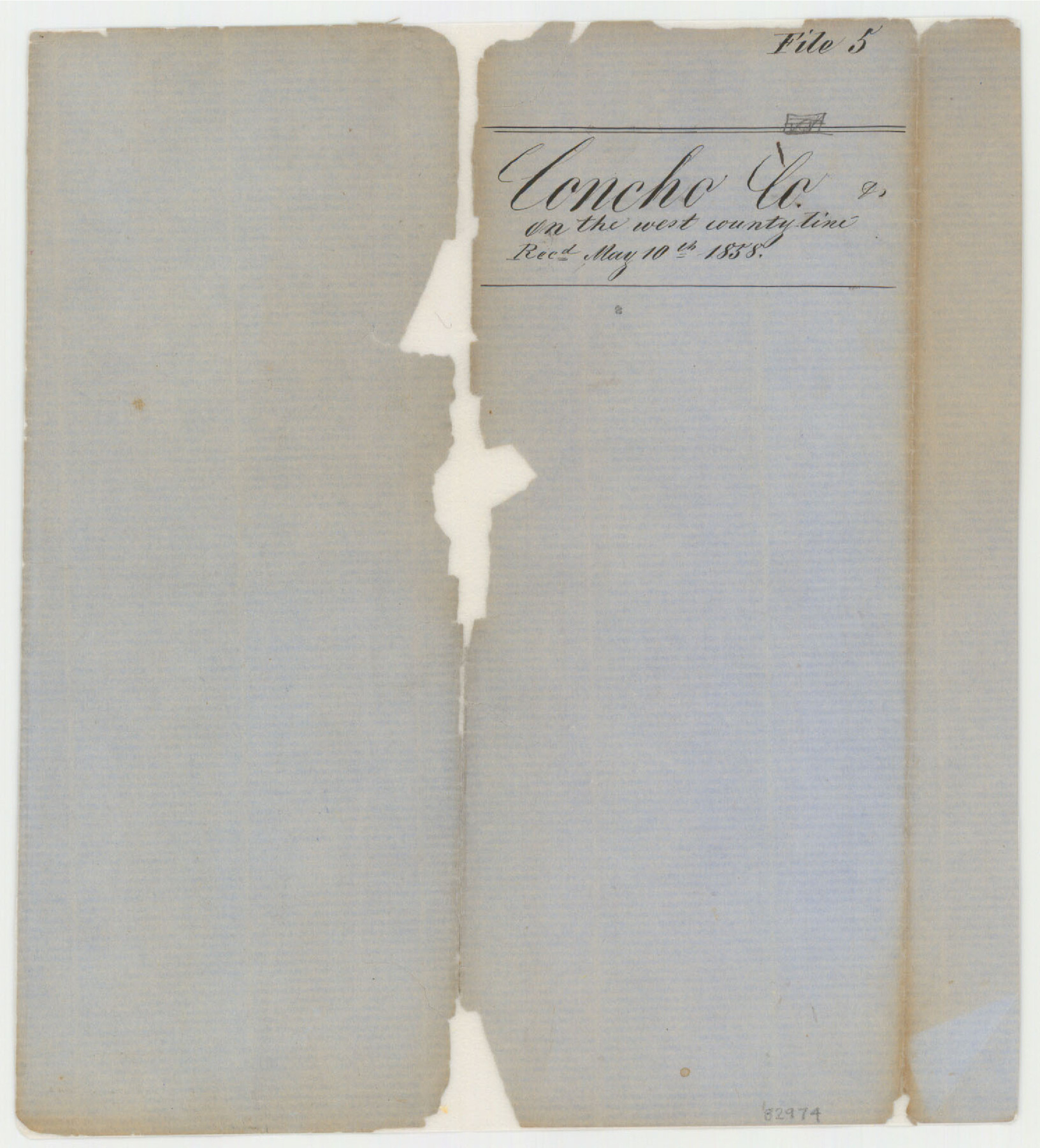
Concho County Sketch File 5
S.P. R.R. Co. Surveys
-
Map/Doc
82974
-
Collection
General Map Collection
-
Object Dates
4/9/1858 (Creation Date)
5/10/1858 (File Date)
-
People and Organizations
F. Giraud (Surveyor/Engineer)
H. Wickeland (Draftsman)
J.T. Robison (GLO Commissioner)
-
Counties
Concho Tom Green
-
Subjects
Surveying Sketch File
-
Height x Width
8.1 x 7.4 inches
20.6 x 18.8 cm
-
Medium
multi-page, multi-format
-
Features
Cottonwood Creek
Erica Creek
Catalan Creek
Blanche Creek
Dorcas Creek
Lake Creek
Eola Creek
Part of: General Map Collection
Marion County Rolled Sketch 5

Print $20.00
- Digital $50.00
Marion County Rolled Sketch 5
1961
Size 22.6 x 20.5 inches
Map/Doc 6658

Matagorda County NRC Article 33.136 Sketch 23

Print $76.00
Matagorda County NRC Article 33.136 Sketch 23
2025
Map/Doc 97502
Hood County Working Sketch 13

Print $20.00
- Digital $50.00
Hood County Working Sketch 13
1978
Size 27.6 x 24.5 inches
Map/Doc 66207

Knox County Rolled Sketch 23

Print $20.00
- Digital $50.00
Knox County Rolled Sketch 23
1989
Size 34.4 x 29.0 inches
Map/Doc 76408
Coleman County

Print $20.00
- Digital $50.00
Coleman County
1862
Size 22.5 x 21.6 inches
Map/Doc 3414
Kinney County Working Sketch 34

Print $20.00
- Digital $50.00
Kinney County Working Sketch 34
1963
Size 23.0 x 26.9 inches
Map/Doc 70216
Kleberg County Boundary File 2b

Print $20.00
- Digital $50.00
Kleberg County Boundary File 2b
Size 8.0 x 28.9 inches
Map/Doc 64978
Galveston County Rolled Sketch 50

Print $20.00
- Digital $50.00
Galveston County Rolled Sketch 50
2011
Size 23.9 x 35.8 inches
Map/Doc 95179
Flight Mission No. CGI-3N, Frame 158, Cameron County

Print $20.00
- Digital $50.00
Flight Mission No. CGI-3N, Frame 158, Cameron County
1954
Size 18.5 x 22.4 inches
Map/Doc 84622
Gonzales County Working Sketch 9

Print $20.00
- Digital $50.00
Gonzales County Working Sketch 9
1981
Size 18.8 x 18.2 inches
Map/Doc 63225
You may also like
Flight Mission No. BRE-2P, Frame 12, Nueces County

Print $20.00
- Digital $50.00
Flight Mission No. BRE-2P, Frame 12, Nueces County
1956
Size 18.5 x 22.6 inches
Map/Doc 86721
Working Sketch in McMullen County

Print $3.00
- Digital $50.00
Working Sketch in McMullen County
1883
Size 11.7 x 12.1 inches
Map/Doc 576
Midland County Sketch File 8

Print $20.00
- Digital $50.00
Midland County Sketch File 8
1933
Size 17.5 x 21.6 inches
Map/Doc 12084
El Paso County Sketch File 40

Print $20.00
- Digital $50.00
El Paso County Sketch File 40
1988
Size 24.8 x 35.9 inches
Map/Doc 11461
[Blotter for Roads in Moore County]
![91530, [Blotter for Roads in Moore County], Twichell Survey Records](https://historictexasmaps.com/wmedia_w700/maps/91530-1.tif.jpg)
Print $20.00
- Digital $50.00
[Blotter for Roads in Moore County]
Size 32.5 x 32.0 inches
Map/Doc 91530
Angelina County Sketch File 18b

Print $40.00
- Digital $50.00
Angelina County Sketch File 18b
Size 12.6 x 16.2 inches
Map/Doc 13032
Tarrant County Sketch File 28

Print $4.00
- Digital $50.00
Tarrant County Sketch File 28
1876
Size 8.0 x 8.0 inches
Map/Doc 37743
Caldwell County Working Sketch 10

Print $40.00
- Digital $50.00
Caldwell County Working Sketch 10
1977
Size 46.2 x 50.5 inches
Map/Doc 67840
[Sketch for Mineral Application 35981 - Liberty County, John Mecom]
![65617, [Sketch for Mineral Application 35981 - Liberty County, John Mecom], General Map Collection](https://historictexasmaps.com/wmedia_w700/maps/65617.tif.jpg)
Print $20.00
- Digital $50.00
[Sketch for Mineral Application 35981 - Liberty County, John Mecom]
1941
Size 30.2 x 26.5 inches
Map/Doc 65617
Harris County Rolled Sketch WB

Print $20.00
- Digital $50.00
Harris County Rolled Sketch WB
Size 15.0 x 28.5 inches
Map/Doc 6146

Corpus Christi Harbor

Print $40.00
- Digital $50.00
Corpus Christi Harbor
1975
Size 37.6 x 51.5 inches
Map/Doc 73479