[Surveys along the Colorado River]
Atlas C, Sketch 24 (C-24)
C-24
-
Map/Doc
49
-
Collection
General Map Collection
-
Counties
Colorado Wharton
-
Subjects
Atlas
-
Height x Width
28.6 x 24.0 inches
72.6 x 61.0 cm
-
Medium
paper, manuscript
-
Comments
Conserved in 2004.
-
Features
Colorado River
Cumings Creek
Spring Fork [of Navidad River]
Lavaca River
Little Rocky Creek
Waterhole Creek
Maria's Creek
Nixon Creek
Clear Fork [of Navidad River]
Crooked Creek
Skull Creek
Sandies Creek
Crasco Creek
Upper Rocky Creek
Money Creek
Main San Bernard River
Part of: General Map Collection
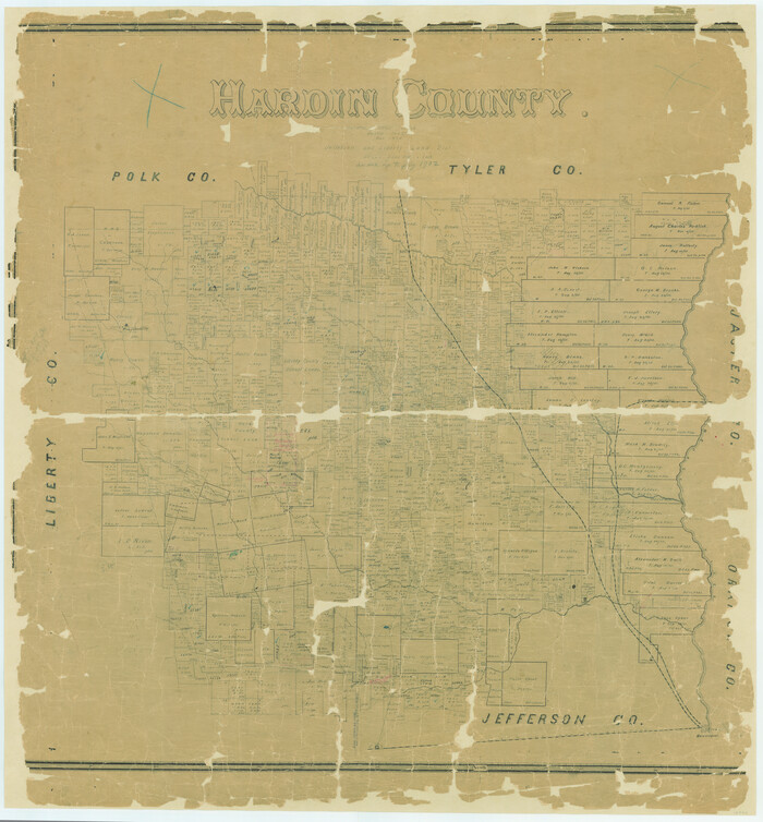
Hardin County

Print $20.00
- Digital $50.00
Hardin County
1894
Size 46.8 x 43.4 inches
Map/Doc 16846
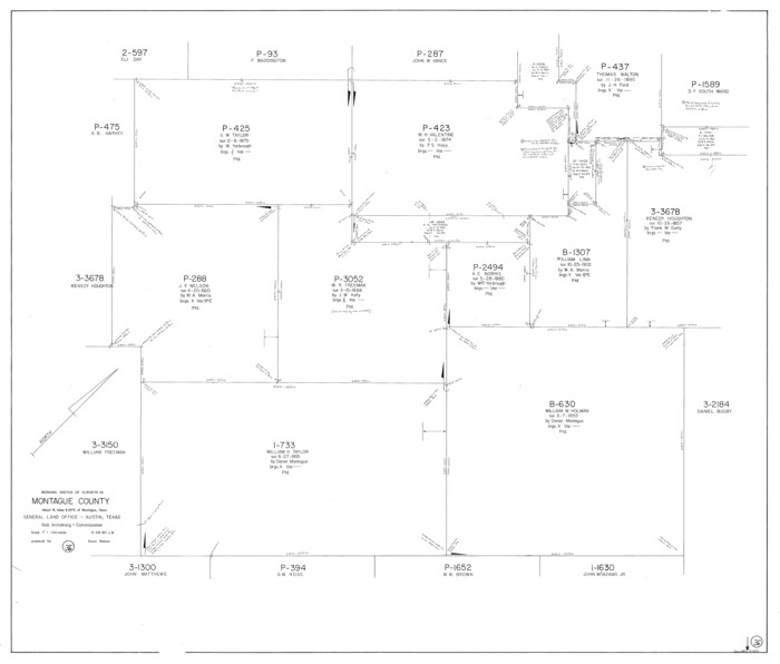
Montague County Working Sketch 36

Print $20.00
- Digital $50.00
Montague County Working Sketch 36
1980
Size 38.4 x 45.1 inches
Map/Doc 71102
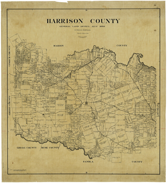
Harrison County

Print $20.00
- Digital $50.00
Harrison County
1920
Size 47.7 x 42.9 inches
Map/Doc 4972
Val Verde County Sketch File 7
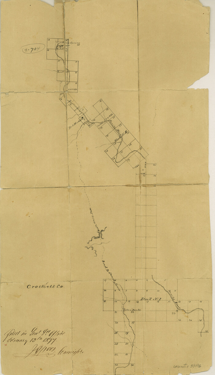

Print $6.00
- Digital $50.00
Val Verde County Sketch File 7
1877
Size 16.9 x 9.7 inches
Map/Doc 39196
Medina County Rolled Sketch 19
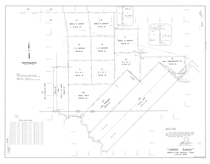

Print $40.00
- Digital $50.00
Medina County Rolled Sketch 19
1987
Size 45.1 x 57.8 inches
Map/Doc 9508
Flight Mission No. DCL-5C, Frame 68, Kenedy County


Print $20.00
- Digital $50.00
Flight Mission No. DCL-5C, Frame 68, Kenedy County
1943
Size 18.6 x 22.4 inches
Map/Doc 85851
Karte von Texas entworfen nach den Vermessungen welche in den Acten der General Land Office der Republic liegen bis zum Jahr 1839
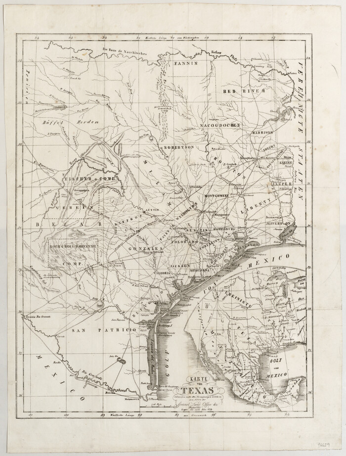

Print $20.00
- Digital $50.00
Karte von Texas entworfen nach den Vermessungen welche in den Acten der General Land Office der Republic liegen bis zum Jahr 1839
Size 18.6 x 14.1 inches
Map/Doc 96629
Refugio County Sketch File 13


Print $5.00
- Digital $50.00
Refugio County Sketch File 13
Size 8.2 x 10.3 inches
Map/Doc 35265
Rusk County Working Sketch 31
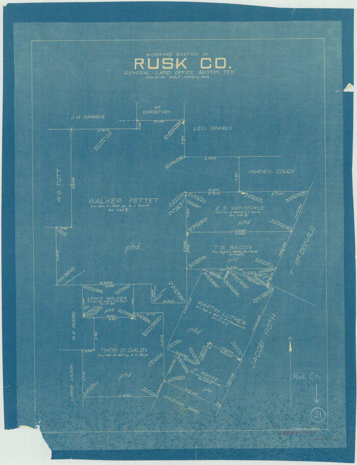

Print $20.00
- Digital $50.00
Rusk County Working Sketch 31
1923
Size 22.6 x 17.4 inches
Map/Doc 63668
Live Oak County Sketch File 25


Print $16.00
- Digital $50.00
Live Oak County Sketch File 25
1919
Size 9.0 x 8.5 inches
Map/Doc 30301
Crosby County Rolled Sketch 1
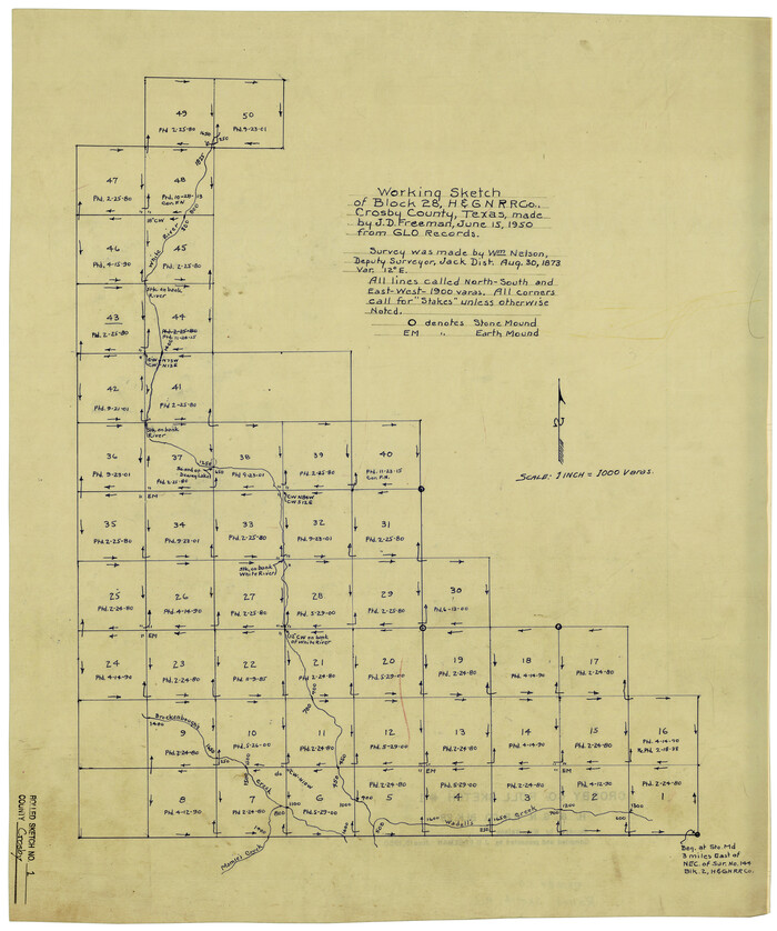

Print $20.00
- Digital $50.00
Crosby County Rolled Sketch 1
1950
Size 25.3 x 21.1 inches
Map/Doc 5640
You may also like
Houston County Working Sketch 1
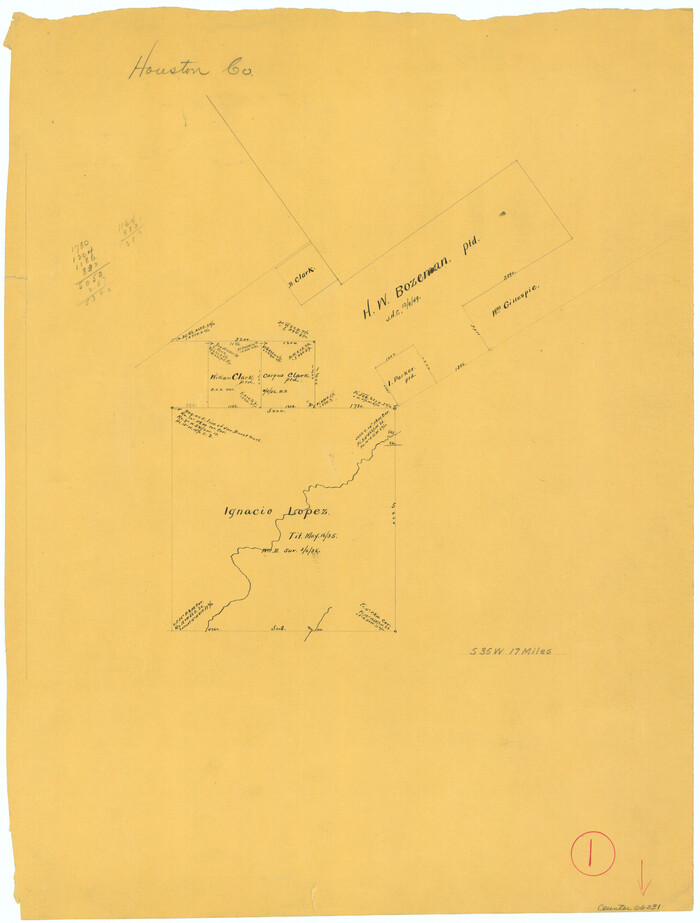

Print $20.00
- Digital $50.00
Houston County Working Sketch 1
Size 20.6 x 15.6 inches
Map/Doc 66231
J. B. McCauley Farm Section 17, Block AK
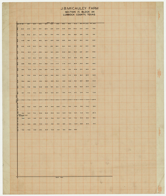

Print $20.00
- Digital $50.00
J. B. McCauley Farm Section 17, Block AK
Size 22.9 x 27.3 inches
Map/Doc 92297
Topographical Map of the Rio Grande, Sheet No. 19
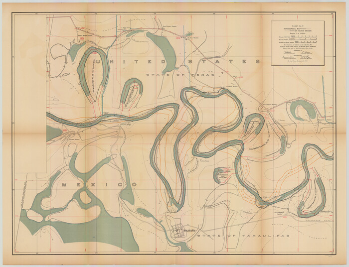

Print $20.00
- Digital $50.00
Topographical Map of the Rio Grande, Sheet No. 19
1912
Map/Doc 89543
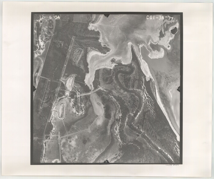
Flight Mission No. CGI-3N, Frame 77, Cameron County

Print $20.00
- Digital $50.00
Flight Mission No. CGI-3N, Frame 77, Cameron County
1954
Size 18.6 x 22.2 inches
Map/Doc 84571
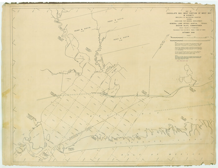
Chocolate Bay, West Portion of West Bay and Vicinity, and Galveston Cos. Showing Subdivision for Mineral Development.

Print $40.00
- Digital $50.00
Chocolate Bay, West Portion of West Bay and Vicinity, and Galveston Cos. Showing Subdivision for Mineral Development.
1948
Size 43.0 x 55.9 inches
Map/Doc 3012
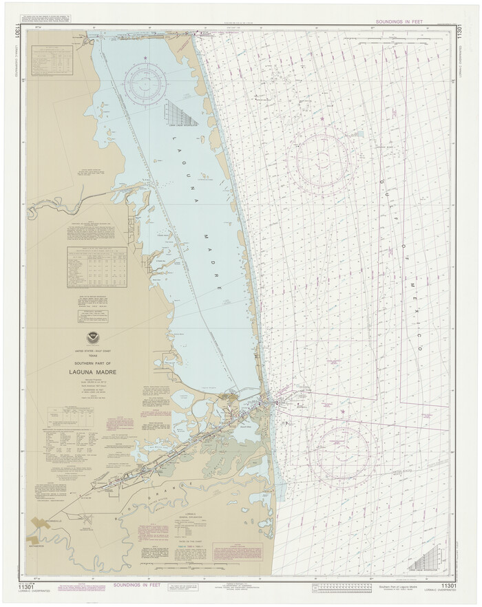
Southern Part of Laguna Madre

Print $20.00
- Digital $50.00
Southern Part of Laguna Madre
1985
Size 45.3 x 36.6 inches
Map/Doc 73547
[Sketch showing County School Land Surveys in Throckmorton Counties, Texas]
![628, [Sketch showing County School Land Surveys in Throckmorton Counties, Texas], Maddox Collection](https://historictexasmaps.com/wmedia_w700/maps/628-GC.tif.jpg)
![628, [Sketch showing County School Land Surveys in Throckmorton Counties, Texas], Maddox Collection](https://historictexasmaps.com/wmedia_w700/maps/628-GC.tif.jpg)
Print $20.00
- Digital $50.00
[Sketch showing County School Land Surveys in Throckmorton Counties, Texas]
1889
Size 15.9 x 20.2 inches
Map/Doc 628
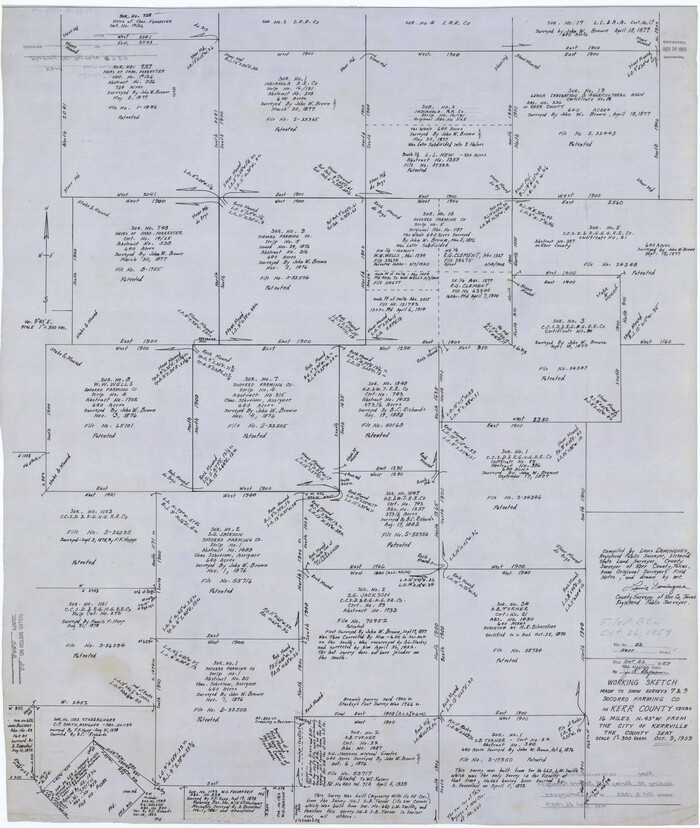
Kerr County Rolled Sketch 22

Print $20.00
- Digital $50.00
Kerr County Rolled Sketch 22
1959
Size 35.7 x 30.2 inches
Map/Doc 9349
Presidio County Rolled Sketch 13
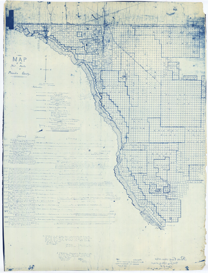

Print $40.00
- Digital $50.00
Presidio County Rolled Sketch 13
1882
Size 58.8 x 48.0 inches
Map/Doc 9763
Flight Mission No. DAH-17M, Frame 21, Orange County

Print $20.00
- Digital $50.00
Flight Mission No. DAH-17M, Frame 21, Orange County
1953
Size 18.6 x 22.5 inches
Map/Doc 86884
Erath County Working Sketch 5
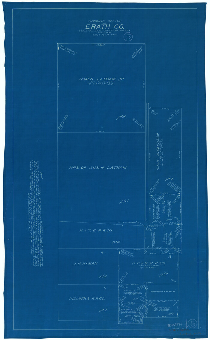

Print $20.00
- Digital $50.00
Erath County Working Sketch 5
1920
Size 27.6 x 17.1 inches
Map/Doc 69086
Working Sketch in Hutchinson County


Print $20.00
- Digital $50.00
Working Sketch in Hutchinson County
1922
Size 16.9 x 13.6 inches
Map/Doc 91251
![49, [Surveys along the Colorado River], General Map Collection](https://historictexasmaps.com/wmedia_w1800h1800/maps/49.tif.jpg)
