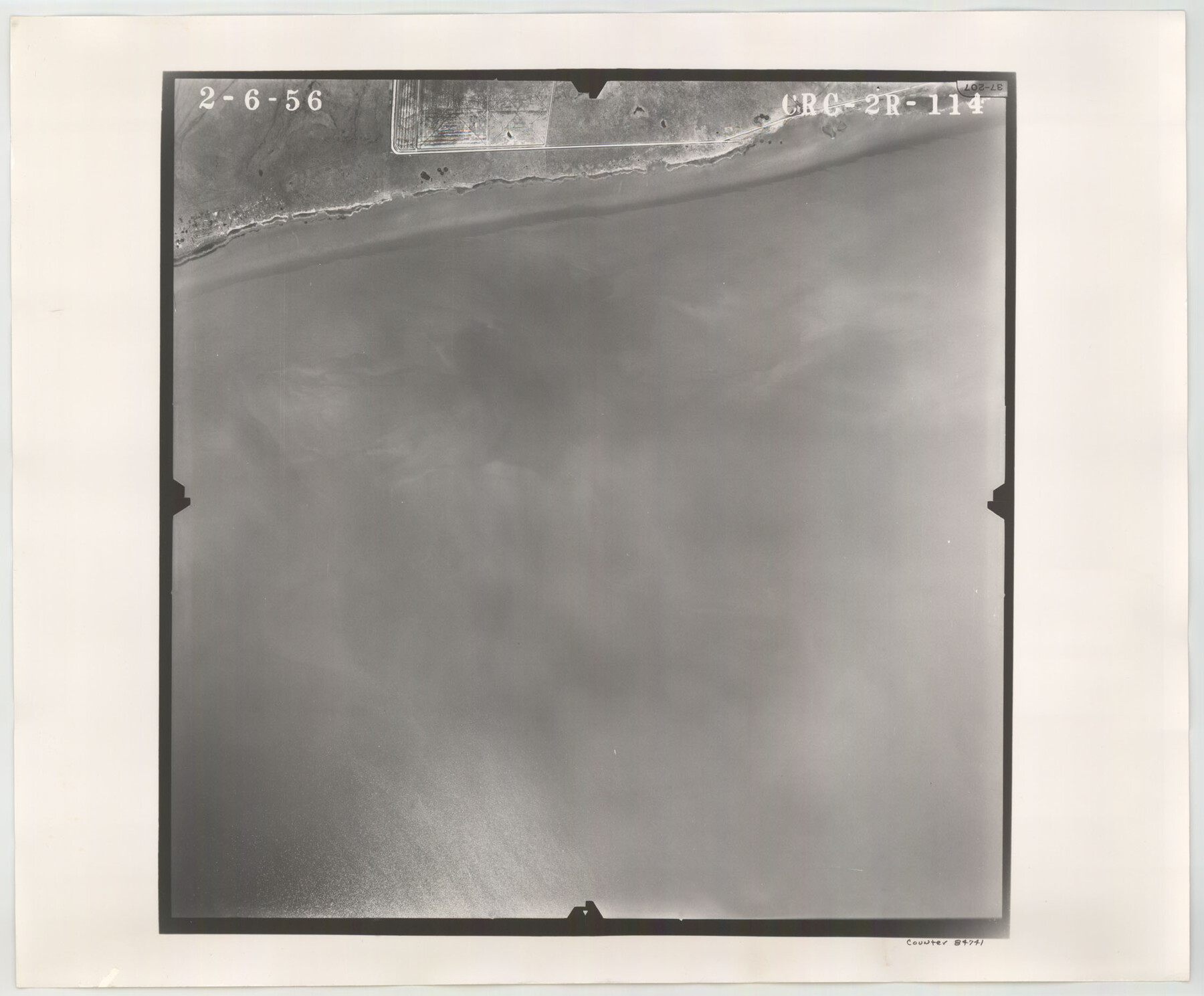
Flight Mission No. CRC-2R, Frame 114, Chambers County
CRC-2R-114
-
Map/Doc
84741
-
Collection
General Map Collection
-
Object Dates
1956/2/6 (Creation Date)
-
People and Organizations
U. S. Department of Agriculture (Publisher)
-
Counties
Chambers
-
Subjects
Aerial Photograph
-
Height x Width
18.5 x 22.4 inches
47.0 x 56.9 cm
-
Comments
Flown by Jack Ammann Photogrammetric Engineers, Inc. of San Antonio, Texas.
Part of: General Map Collection
Jeff Davis County Rolled Sketch 44

Print $20.00
- Digital $50.00
Jeff Davis County Rolled Sketch 44
2014
Size 19.8 x 34.7 inches
Map/Doc 94243
Panola County Working Sketch 13

Print $40.00
- Digital $50.00
Panola County Working Sketch 13
1945
Map/Doc 71422
Hays County Sketch File 1

Print $2.00
- Digital $50.00
Hays County Sketch File 1
1856
Size 12.6 x 8.3 inches
Map/Doc 26199
Texas Official Travel Map

Digital $50.00
Texas Official Travel Map
Size 33.6 x 36.5 inches
Map/Doc 94301
Travis County State Real Property Sketch 10

Print $20.00
- Digital $50.00
Travis County State Real Property Sketch 10
2002
Size 35.5 x 25.2 inches
Map/Doc 83550
Hardeman County Working Sketch 13

Print $20.00
- Digital $50.00
Hardeman County Working Sketch 13
1966
Size 35.8 x 45.7 inches
Map/Doc 63394
Brazos County Sketch File 5

Print $34.00
- Digital $50.00
Brazos County Sketch File 5
1935
Size 8.2 x 7.1 inches
Map/Doc 15559
Nueces County NRC Article 33.136 Location Key Sheet

Print $20.00
- Digital $50.00
Nueces County NRC Article 33.136 Location Key Sheet
1975
Size 27.0 x 23.0 inches
Map/Doc 77032
Topographical Map of the Rio Grande, Sheet No. 28

Print $20.00
- Digital $50.00
Topographical Map of the Rio Grande, Sheet No. 28
1912
Map/Doc 89552
Duval County Sketch File 61

Print $6.00
- Digital $50.00
Duval County Sketch File 61
1940
Size 11.4 x 8.9 inches
Map/Doc 21431
Flight Mission No. CRE-2R, Frame 169, Jackson County

Print $20.00
- Digital $50.00
Flight Mission No. CRE-2R, Frame 169, Jackson County
1956
Size 18.6 x 22.3 inches
Map/Doc 85379
El Paso County Sketch File 30

Print $4.00
- Digital $50.00
El Paso County Sketch File 30
1960
Size 11.2 x 8.8 inches
Map/Doc 22082
You may also like
Map of Coryell County

Print $20.00
- Digital $50.00
Map of Coryell County
1863
Size 23.1 x 27.4 inches
Map/Doc 3443
Old Miscellaneous File 15

Print $12.00
- Digital $50.00
Old Miscellaneous File 15
1905
Size 11.0 x 7.8 inches
Map/Doc 75451
Sketch showing Block R situated in Counties of Castro, Deaf Smith, Randall & Swisher

Print $20.00
- Digital $50.00
Sketch showing Block R situated in Counties of Castro, Deaf Smith, Randall & Swisher
1908
Size 29.0 x 34.4 inches
Map/Doc 90408
[North Part of T. A. Thomson, Block T]
![91075, [North Part of T. A. Thomson, Block T], Twichell Survey Records](https://historictexasmaps.com/wmedia_w700/maps/91075-1.tif.jpg)
Print $20.00
- Digital $50.00
[North Part of T. A. Thomson, Block T]
Size 17.6 x 14.3 inches
Map/Doc 91075
[Sketch of area around Mary Fury and John P. Rohus Surveys]
![91917, [Sketch of area around Mary Fury and John P. Rohus Surveys], Twichell Survey Records](https://historictexasmaps.com/wmedia_w700/maps/91917-1.tif.jpg)
Print $20.00
- Digital $50.00
[Sketch of area around Mary Fury and John P. Rohus Surveys]
Size 19.4 x 19.7 inches
Map/Doc 91917
Karnes County Working Sketch 5

Print $20.00
- Digital $50.00
Karnes County Working Sketch 5
1960
Size 37.2 x 36.8 inches
Map/Doc 66653
Brooks County Rolled Sketch 23

Print $40.00
- Digital $50.00
Brooks County Rolled Sketch 23
Size 42.4 x 74.4 inches
Map/Doc 8538
Stonewall County Sketch File C

Print $20.00
- Digital $50.00
Stonewall County Sketch File C
1886
Size 13.1 x 8.2 inches
Map/Doc 37196
Zapata County Working Sketch 4

Print $20.00
- Digital $50.00
Zapata County Working Sketch 4
1935
Size 19.6 x 22.1 inches
Map/Doc 62055

Cherokee County Sketch File 9

Print $8.00
- Digital $50.00
Cherokee County Sketch File 9
1853
Size 5.6 x 4.2 inches
Map/Doc 18132
Zapata County Sketch File 9

Print $40.00
- Digital $50.00
Zapata County Sketch File 9
1917
Size 31.8 x 49.4 inches
Map/Doc 10439